Meghalaya
The youngest daughter inherits everything. In Meghalaya, the matrilineal traditions of the Khasi, Garo, and Jaintia peoples have persisted for centuries, defying the patrilineal norms that govern most of the subcontinent. Property passes through women. Children take their mother's surname. And when a couple marries, the husband moves into his wife's family home. This quiet inversion of expectation runs through everything in Meghalaya, a state carved from Assam in 1972 whose very name means 'the abode of clouds' in Sanskrit. The clouds are not metaphorical. Mawsynram and nearby Cherrapunji routinely compete for the title of wettest place on Earth, receiving over 11,000 millimeters of rain in a year. That relentless moisture feeds something extraordinary: forests so dense and biodiverse that the British called this region 'the Scotland of the East,' though the comparison barely scratches the surface.
Where Rain Becomes Architecture
The most famous structures in Meghalaya were not built in the conventional sense. They were grown. Over generations, the Khasi and Jaintia people have trained the aerial roots of Ficus elastica rubber trees across rivers and gorges, weaving them into living root bridges strong enough to bear the weight of fifty people at once. Some of these bridges are over five hundred years old, their root systems thickening with each passing decade. The double-decker root bridge at Nongriat, reached by descending roughly 3,500 stone steps into a lush valley, is the most celebrated. But dozens more span the rivers of the East Khasi Hills, each one a testament to a patient engineering philosophy that measures progress in lifetimes rather than months. In a region where monsoon torrents would destroy conventional wooden or bamboo bridges within a few seasons, the Khasi solution was to let nature do the structural work, then outlast the rain.
Plateaus Above the Plains
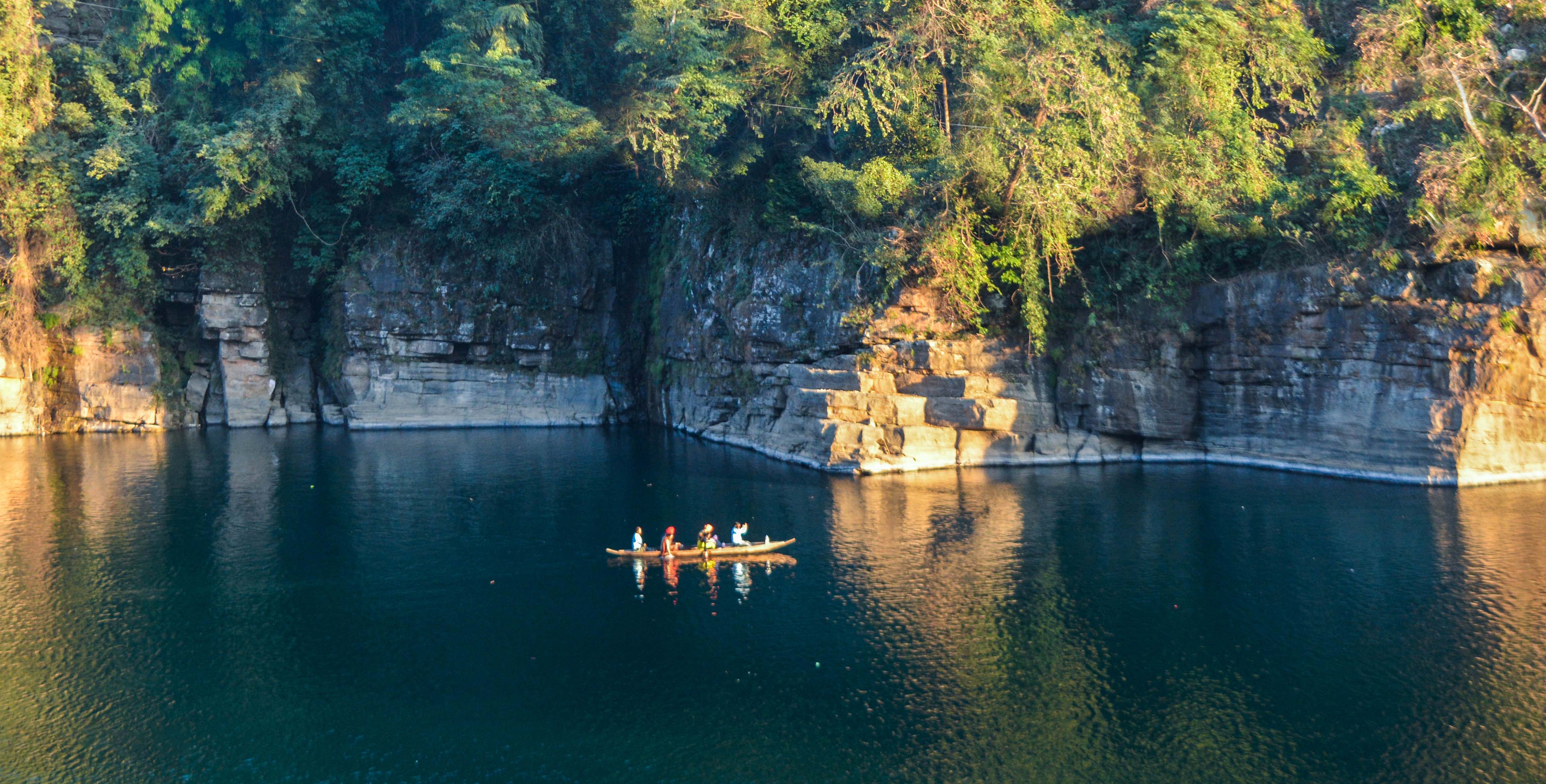
Meghalaya sits on the Shillong Plateau, an elevated tableland that rises abruptly from the flat Bangladeshi plains to the south, creating a dramatic escarpment visible for miles. The plateau averages around 1,500 meters in elevation, and its geology is ancient, part of the Indian Peninsular Shield rather than the younger Himalayan formations to the north. This isolation has made Meghalaya a biodiversity hotspot. About seventy percent of the state remains forested, sheltering elephants, hoolock gibbons, red pandas, clouded leopards, and over 660 species of birds. The limestone karst beneath the surface harbors some of the longest and deepest caves in the Indian subcontinent, including the Krem Liat Prah system stretching over thirty kilometers. Siju Cave in the South Garo Hills is home to rare bat species found nowhere else in India. Below ground, the geology is as rich as the canopy above it.
A Mosaic of Peoples
Three principal groups shape Meghalaya's cultural landscape: the Khasi in the central hills, the Garo in the western ranges, and the Jaintia (or Pnar) in the eastern uplands. Each speaks a distinct language, though English serves as the state's official tongue, a legacy of British and Welsh missionary influence. Christianity arrived in the 1830s, when Welsh Presbyterians established a mission in Cherrapunji, and today roughly seventy-five percent of Meghalaya's population is Christian, making it one of just three majority-Christian states in India. Yet indigenous faiths persist alongside the new. The Khasi practice of Niam Khasi, the Jaintia tradition of Niamtre, and the Garo Songsarek faith maintain deep roots. Sacred groves, small patches of forest protected for generations as sanctuaries dedicated to local deities or spirits, dot the landscape. The Mawphlang sacred grove near Shillong is among the most renowned, a place where nothing may be removed, not even a fallen leaf.
The Wettest Corner of the World
Cherrapunji once held the official record for most rainfall in a calendar year: 26,471 millimeters in 1861. Its neighbor Mawsynram has since claimed the title for highest average annual rainfall. The numbers are staggering, but the experience is something else entirely. During monsoon season, from June through September, clouds do not so much arrive as take up residence, smothering the hills in a whiteness so thick that visibility drops to a few meters. Waterfalls appear overnight and vanish within weeks. The Nohkalikai Falls, at roughly 340 meters, is the tallest plunge waterfall in India, fed by rainwater that collects on the plateau above. Paradoxically, despite all this rain, parts of Meghalaya face water shortages during the dry season because the porous limestone bedrock drains quickly. The abundance and the scarcity are two faces of the same geological coin.
The View from Above
From the air, Meghalaya reveals its structure with startling clarity. The sharp southern escarpment drops from plateau to plain in a near-vertical wall of green, the border between Indian hill country and Bangladeshi lowland drawn in topography rather than politics. River gorges cut deep into the plateau surface, their valleys often shrouded in the clouds that give the state its name. Shillong, the capital and largest city, sits in a bowl at about 1,496 meters elevation, its corrugated rooftops and church spires visible against the surrounding pine forests. To the west, the Garo Hills roll in lower, rounder contours. To the east, the Jaintia Hills hold the coal deposits that have made Meghalaya both prosperous and controversial, as illegal rat-hole mining operations persist despite a national tribunal ban imposed in 2014. The landscape tells two stories simultaneously: one of extraordinary natural wealth, another of the pressures that wealth invites.
From the Air
Centered at 25.57N, 91.88E on the Shillong Plateau at approximately 1,500 meters elevation. The dramatic southern escarpment facing Bangladesh is visible from high altitude. Nearest major airport is Shillong Airport (VEBI) at Umroi, with Lokpriya Gopinath Bordoloi International Airport (VEGT) in Guwahati about 100 km north. Best viewed at 10,000-15,000 feet to appreciate the plateau topography and cloud formations. The region is frequently clouded, especially June through September.