The Garden Where Presidents Grew Up
A ten-year-old Barry Obama walked to school each morning past Art Deco villas and frangipani trees, through a neighborhood that had already produced two Indonesian presidents and would later produce a third. Menteng, Jakarta's leafy colonial enclave, has an uncanny habit of shaping the powerful. Built in the 1910s as the first garden suburb in the Dutch East Indies, this quiet grid of tree-lined lanes and elegant houses became the address of choice for governors, tycoons, and revolutionaries alike. The boy from Honolulu who attended the local Besuki Public School could hardly have known he was absorbing the atmosphere of a place where Indonesian independence was literally drafted.
A Colonial Blueprint for Paradise
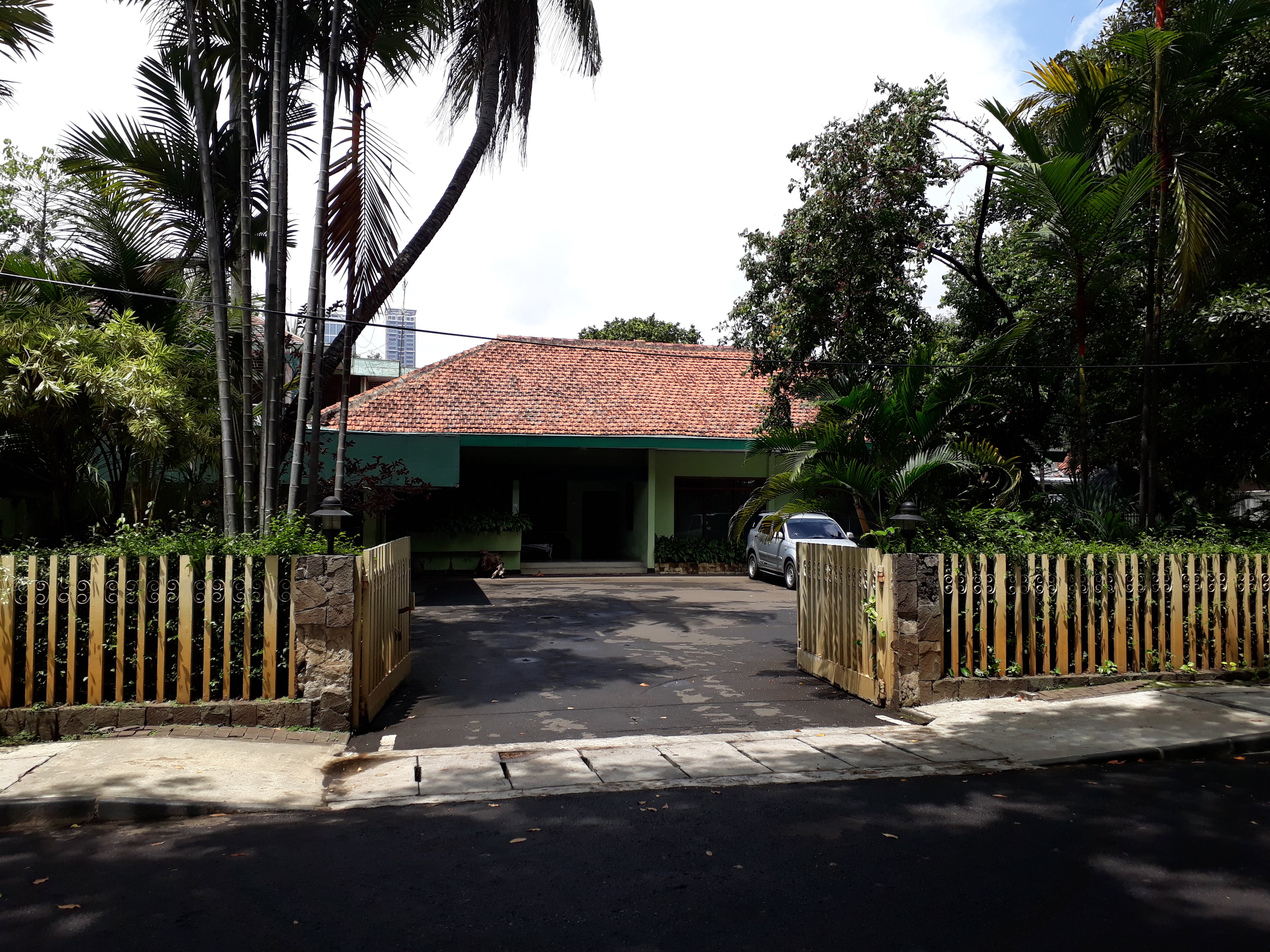
When Dutch architect P.A.J. Moojen designed Menteng in the 1910s, he envisioned something Batavia had never seen: a proper garden suburb where parks would cover thirty percent of the land. The private real estate firm N.V. de Bouwploeg laid out wide boulevards classified in Dutch as Laan, Straat, and Weg, each lined with tropical shade trees. Three villa types - the Tosari, the Sumenep, and the Madura - offered compact elegance under 500 square meters, complete with garages and servants' quarters. These prototypes would influence Indonesian residential design for decades. Menteng was planned as the southern expansion of Batavia, but it quickly became something more: a social experiment where Europeans, Chinese merchants, and wealthy Indonesians lived side by side in a city that rigidly separated its populations everywhere else. Thomas Karsten, the urban planner who would reshape colonial thinking about cities, cited Menteng in his 1939 memorandum as proof that real estate developers were finally recognizing the needs of the upper middle class beyond just Europeans.
Where Independence Found Its Words
Menteng's graceful houses were not merely ornamental. Along Jalan Imam Bonjol, one lavish residence became the site where the text of Indonesia's Proclamation of Independence was formulated - today it stands as the National Proclamation Museum. Mohammad Hatta, the nation's first vice president, lived here. So did Sutan Sjahrir, the first prime minister, and Achmad Soebardjo, the first foreign minister. The neighborhood was a crucible of revolution in tailored clothing. After independence, Menteng's colonial legacy took on new meaning. Suharto, Indonesia's second president and authoritarian ruler for three decades, made his home on Jalan Cendana - a street that became synonymous with power. His stepdaughter, Megawati Soekarnoputri, who would become Indonesia's fifth president, grew up in the same district. Power in Indonesia, it seemed, had a postal code.
The Transformation of Sabang Street
Through the 1980s, the western edge of Menteng underwent a quiet metamorphosis. Sabang Street, renamed Jalan Agus Salim, traded its residential calm for the buzz of commerce. Jaksa Street became Jakarta's backpacker corridor, its old houses converted into budget guesthouses and travel agencies. Restaurants, hotels, and offices crept into the elegant avenues that Moojen had designed for afternoon strolls. The annual Jalan Jaksa Festival now celebrates this transformation, though preservationists view it with mixed feelings. Since the 1990s, architects, historians, and re-greening advocates have fought to protect what remains of Menteng's original plan. The lavish houses along Jalan Imam Bonjol and the serene expanse of Taman Suropati represent what is at stake: a vision of tropical urban living that was remarkable a century ago and remains so today.
Parks, Mosques, and Repurposed Monuments
Menteng's landmarks read like a catalog of reinvention. The N.V. de Bouwploeg architects' office is now the Cut Meutia Mosque. The Nassaukerk has become St. Paulus Church. The colonial Bataviasche Kunstkring still functions as a gallery. Hotel Indonesia, designed by Abel Sorensen and opened in 1962 as the country's first luxury hotel, anchors the famous Bundaran HI roundabout with its Selamat Datang Monument welcoming visitors with open arms. The Hermitage Hotel occupies what was once the colonial telephone building and later the University of Bung Karno. Parks remain the district's defining feature - Taman Suropati, Taman Proklamasi, and the tranquil Situ Lembang pond account for much of Menteng's green canopy. The former Menteng Stadium has been replaced by Menteng Park, trading competitive sport for public leisure. In a city as dense and driven as Jakarta, Menteng's insistence on green space feels less like urban planning and more like an act of defiance.
A Jakarta Within Jakarta
Today Menteng sits within Jakarta's Golden Triangle, the agglomeration of three financial districts that makes this some of the most expensive real estate in Indonesia. Gondangdia, Cikini, and Sudirman railway stations connect the district to the wider city, while the Bundaran HI and Dukuh Atas MRT stations tie it into Jakarta's expanding rapid transit network. Yet for all its connectivity, Menteng retains a feeling of enclosure. The West Flood Canal bounds it to the west, the Ciliwung River curves along its south and east, and the busy Kebon Sirih Road seals the north. Within these borders, the tree-canopied streets still suggest a pace of life that the rest of Jakarta abandoned decades ago. It is a district that has managed to be both the center of Indonesian power and a refuge from it - a garden suburb that outlived the empire that built it.
From the Air
Located at 6.19°S, 106.83°E in Central Jakarta. From the air, Menteng is identifiable by its distinctive grid of tree-lined streets and green parks contrasting with the denser urban fabric surrounding it. The Bundaran HI roundabout and Hotel Indonesia complex mark the northwestern corner. Nearest major airport is Soekarno-Hatta International (WIII), approximately 25 km northwest. Halim Perdanakusuma Airport (WIHH) lies about 12 km southeast. Best viewed at 3,000-5,000 feet for the garden suburb layout.