Milagra Ridge
The guns are gone, the soldiers long departed, but the endangered species arrived while no one was looking. Milagra Ridge, a 275-acre open space park between Pacifica and Daly City, was a military battery in the 1940s. After the Army left, the ridge's isolation created something biologists call an island ecosystem: a patch of habitat surrounded by development that functions like an island in an ocean of suburbia. The Mission blue butterfly, the San Bruno elfin butterfly, and the California red-legged frog all found refuge here, their survival dependent on a landscape that the military shaped and then abandoned.
From Ohlone Land to Coastal Defense
The Ohlone people inhabited this ridge long before the Spanish arrived. The U.S. Army acquired the land in the late 1930s as part of the coastal defense network protecting San Francisco Bay. Battery 244 received two 6-inch guns in 1948, moved from Fort Columbia in Washington state. The battery was decommissioned just two years later, in 1950. A Nike missile site was also built on the ridge during the Cold War. In 1961, Pacifica considered converting the empty battery casemate into a police station and civil defense headquarters. Instead, the land sat largely unused, and nature reclaimed it.
An Island of Wildflowers and Endangered Wings
Milagra Ridge's coastal scrub and prairie habitat supports several threatened and endangered species. The Mission blue butterfly was first documented here in 1992, feeding on lupine species that carpet the hillsides. The San Bruno elfin butterfly was discovered in the mid-1980s. The California red-legged frog, the species that Mark Twain made famous in his jumping frog story, is presumed to inhabit the small burrows and ponds on the ridge. The San Francisco garter snake, one of the most endangered reptiles in North America, may also be present. In spring, the ridge explodes with wildflowers and tiny wild coast strawberries, interspersed, characteristically, with poison oak.
Trails on the Ridge
The Milagra Battery Trail, completed in November 2016, connects a parking lot at the end of Connemara Drive in Pacifica to the ridgeline along a trail approximately 2,000 feet long. From the ridge, hikers can see the Pacific coastline stretching south and the suburban sprawl of Daly City pressing against the park's eastern boundary. The trail connects to Sweeney Ridge and the Bay Area Ridge Trail network. A USGS seismometer on the ridge provides nearly real-time earthquake data to the public, a reminder that the ground beneath the wildflowers is as active as the ecosystem above it. The ridge was added to the Golden Gate National Recreation Area in 1987, when the National Park Service acquired the remaining 240 acres and incorporated them into the GGNRA. A further 34 acres were added via conservation easement in 2007.
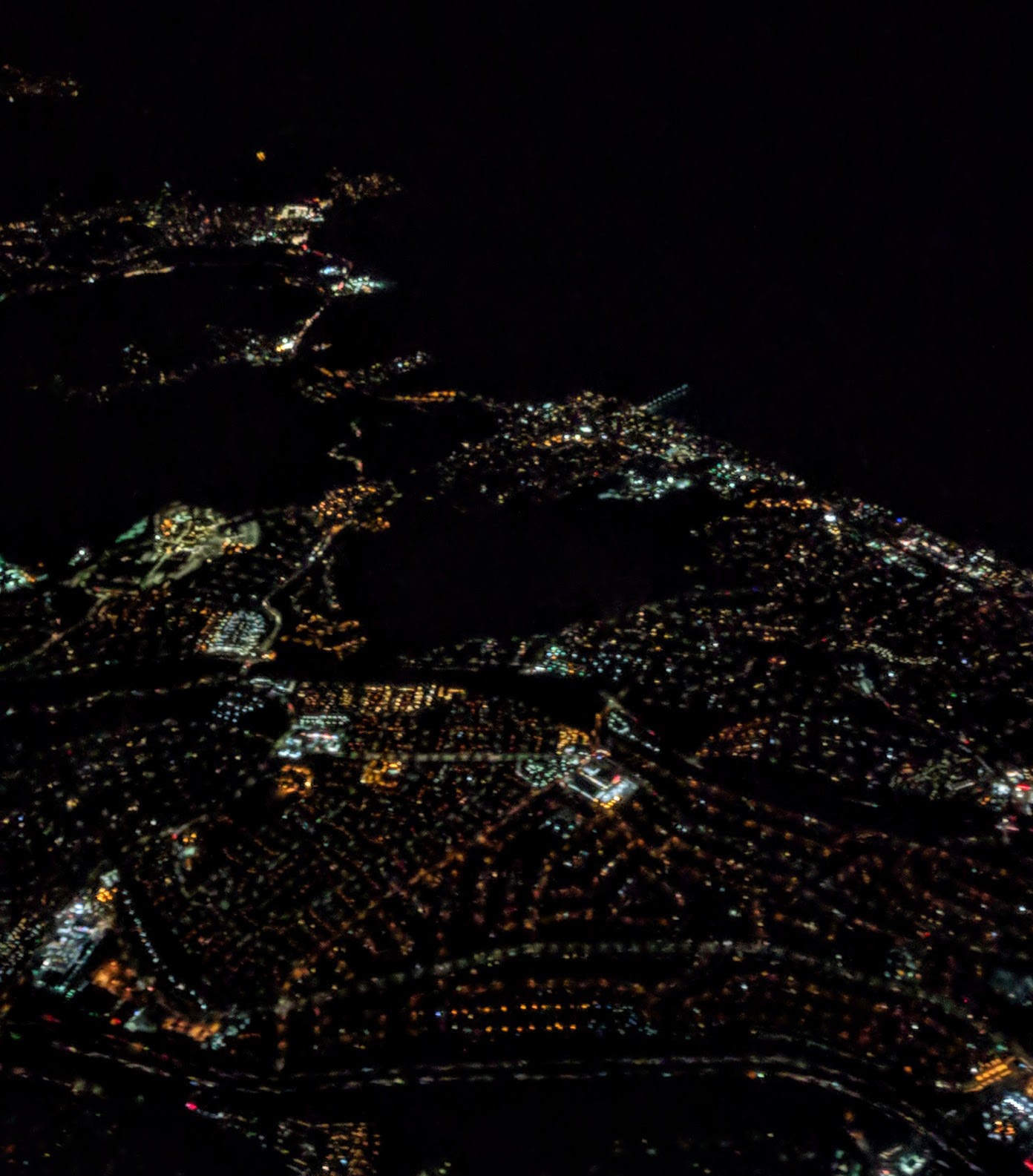
From the Air
Located at 37.64°N, 122.48°W between Pacifica and Daly City on the San Francisco Peninsula. The ridge is visible as an undeveloped green space between suburban areas. Nearest airports: SFO (KSFO, 6 nm southeast), Half Moon Bay (KHAF, 8 nm south).