Mille Lacs Lake
Every winter, a small city materializes on the ice. Thousands of fish houses appear across 207 square miles of frozen surface, their stovepipes sending thin columns of smoke into the Minnesota sky. The anglers inside are pursuing walleye, the golden-flanked freshwater predator that has drawn people to Mille Lacs Lake for generations. But the relationship between humans and this enormous, shallow body of water reaches back far deeper than any fishing tradition. Archaeologists have identified the Mille Lacs area as one of the earliest known sites of human settlement in Minnesota. The Dakota called it Mde Wakan -- Spiritual Lake. The Ojibwe named it Misi-zaaga'igan -- Grand Lake. The French, looking out across what seemed like an endless chain of water in every direction, settled on Mille Lacs: Thousand Lakes. The name stuck, and today it describes not just this lake but the entire character of the state.
Grand Lake in a Thousand-Lake Country
Mille Lacs sprawls across three Minnesota counties -- Mille Lacs, Aitkin, and Crow Wing -- roughly 100 miles north of Minneapolis-St. Paul. It is Minnesota's second-largest inland lake after Red Lake, yet its maximum depth reaches only about 42 feet. Much of the main body hovers between 20 and 30 feet, making it a cold polymictic lake that never truly stratifies. Wind and wave action churn the water column constantly, keeping oxygen and nutrients distributed from surface to bottom. Thirteen named islands dot the surface, from Malone Island at the largest down to tiny Hennepin Island. Spirit Island, a small outcrop of weathered pink and white granite boulders in the southwestern corner, holds particular significance: it is one of two islands designated as part of the Mille Lacs National Wildlife Refuge, a protected sanctuary amid all that open water.
Treaties, Names, and Contested Waters
The Mdewakanton Dakota once defined their identity through this lake -- their very name refers to their residence at Mde Wakan, the Spirit Lake. On early French maps it appeared as Lac Buade or Minsisaugaigun. A 1733 map by Henry Popple renders it as "Lake Mississucaigan or Baude." By 1843, U.S. government maps still labeled it "Mini Sagaigonin or Mille Lacs." The layering of languages tells a story of successive arrivals, each drawn to the same vast sheet of water. The Mille Lacs Band of Ojibwe signed the Treaty of 1837, ceding land but retaining hunting, fishing, and harvesting rights in the ceded territory. Those treaty rights were contested for over a century until the U.S. Supreme Court affirmed them in 1999. Today the Band's fishing and hunting are regulated by their own Conservation Code, operating alongside but separate from state regulations -- a living legacy of that 1837 agreement.
The Walleye Capital
Mille Lacs produces billions of walleye eggs and fry each year, making it one of the most important walleye spawning grounds in Minnesota. The lake's shallow, gravel-and-rock southern bars provide ideal spawning habitat, while mud flats in the northern half support deep-water angling. Northern pike, muskie, jumbo perch, smallmouth and largemouth bass, black crappie, burbot, and tullibee round out the fishery. Because the lake lacks a persistent thermocline, fish roam the entire water column freely, making them accessible but unpredictable. That walleye population hit an all-time low in 2016, triggering tighter catch limits and intense management scrutiny. The arrival of invasive zebra mussels has reshaped the lake's ecology, filtering suspended particles and increasing water clarity while sequestering nutrients in bottom sediments. The mussels have not, however, significantly altered phosphorus or chlorophyll levels -- an outcome scientists attribute to the lake's constant mixing.
When the Ice Marches Ashore
In May 2013, northwest winds gusting up to 40 miles per hour drove a wall of ice off Mille Lacs and onto the southern shore near Onamia. The ice shove -- a slow-motion avalanche of fractured lake ice -- covered ten miles of shoreline and piled up to 30 feet high in places. Slabs of ice punched through patio doors and crushed boathouses. Bulldozers were brought in to hold back the advancing sheets, but the ice moved with relentless, grinding persistence. The event made national news and offered a dramatic reminder that Mille Lacs, for all its summer calm, is a body of water governed by enormous forces. The Rum River drains from the lake's southern end into the Mississippi River at present-day Anoka, connecting this inland sea to the continent's greatest watershed. Two state parks -- Father Hennepin and Mille Lacs Kathio -- protect stretches of the lakeshore, while portions of the Mille Lacs Indian Reservation border the water's edge.
A Shallow Sea Under Open Sky
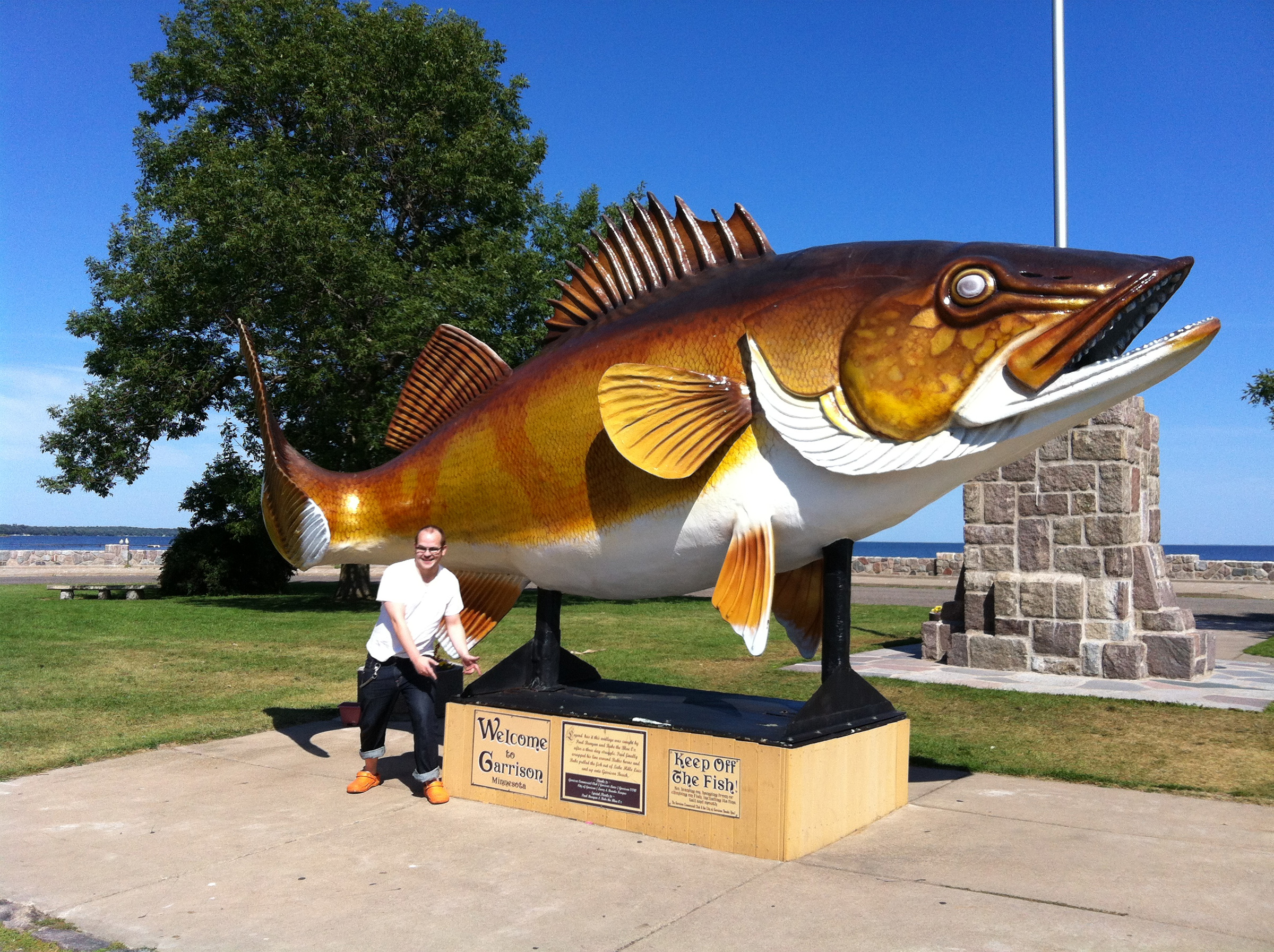
From above, Mille Lacs reads as an enormous blue disc set in rolling green terrain, its shoreline communities -- Garrison, Isle, Onamia, Wahkon, Vineland -- visible as thin rings of development against miles of forest and farmland. The lake's shallowness means it responds visibly to weather: whitecaps form quickly under moderate wind, and on still days the entire surface can turn glassy and reflective. Agricultural runoff from surrounding lands has driven phosphorus and sediment loading since the 1960s, though the lake remains moderately mesotrophic with limited algal blooms. Groundwater studies in the late 1990s found sodium, manganese, and iron levels exceeding EPA drinking water standards in nearby aquifers. The tensions are familiar across Minnesota lake country -- development pressure against ecological resilience, treaty obligations alongside recreational demand, invasive species altering food webs while managers scramble to keep up. Mille Lacs absorbs it all beneath that broad, wind-raked surface.
From the Air
Located at 46.24N, 93.64W in central Minnesota. Mille Lacs Lake is an enormous, roughly circular body of water approximately 18 miles long and 14 miles wide, easily identifiable from altitude. The lake sits roughly 100 miles north of Minneapolis-St. Paul. Nearby airports include Mille Lacs Lake Airport (7MN4) on the western shore near Garrison, Milaca Municipal Airport (18Y) to the south, and St. Cloud Regional Airport (KSTC) approximately 38 miles southwest. Brainerd Lakes Regional Airport (KBRD) lies about 62 miles to the northwest. The lake's shallowness and wide fetch create notable surface texture visible from moderate altitudes. Best viewed at 5,000-10,000 feet to appreciate the full expanse and shoreline communities.
Sources
- Wikipedia - Mille Lacs Lake
- Minnesota v. Mille Lacs Band of Chippewa Indians - Wikipedia
- Bring Me The News - Mille Lacs ice shove 2013
- Minnesota DNR - Mille Lacs Lake
- Wikipedia - Mille Lacs Lake - Named Islands List
- Washington Post - Mille Lacs ice shove 2013
- Wikipedia - Minnesota v. Mille Lacs Band of Chippewa Indians