Minahasa Regency
The anniversary of Minahasa Regency falls on November 5, 1428 -- a date that is entirely invented. The day and month come from the birthday of Sam Ratulangi, the region's most celebrated historical figure. The year 1428 is an approximation of when Minahasan tribes first banded together against the neighboring Bolaang Mongondow Kingdom, but the digits themselves were borrowed: 14 from the date of the Peristiwa Merah Putih, a pivotal pro-independence incident in Manado on February 14, 1946, and 28 from the year of the Second Youth Congress that produced Indonesia's famous Youth Pledge in 1928. It is a founding date assembled like a mosaic, and it captures something essential about Minahasa itself -- a region that has always defined its identity by synthesizing what came before.
Twenty-Three Chiefs and a Dutch Governor
The Minahasan tribes have a long history of banding together when outside pressure demands it. In the 15th century, they united against the Bolaang Mongondow Kingdom. In the 17th century, they did it again, this time forging a formal friendship agreement with the Vereenigde Oostindische Compagnie -- the Dutch East India Company. On January 10, 1679, during a visit by Robertus Padtbrugge, the VOC governor based in Maluku, 23 chiefs of political and social communities called walak signed the agreement. The chiefs came from across the peninsula -- Aris, Bantik, Kakaskasen, Klabat, Langowan, Remboken, Tomohon, Tompaso, Tondano, Tonsea, and more. The alliance was pragmatic rather than ideological: the Dutch had guns and ships, and the Bolaang threat was real. It was a partnership of convenience that lasted centuries.
Districts That Kept Shrinking
Under Dutch colonial rule, the Minahasa region was governed as part of the Residency of Manado, covering territory that today spans multiple regencies and cities. In 1856, the walak communities were organized into 26 districts. By the end of the 19th century, consolidation had reduced that number to 18 -- districts with names like Bantik, Kawangkoan, Sonder, and Tonsea that still map onto the contemporary landscape. Further mergers dropped the count to 16 in 1908, then seven in 1920, then six by 1927 when Manado and Tomohon were combined. The Japanese occupation froze these arrangements in place. After independence, Manado separated as a municipality in 1953, and the capital of Minahasa moved from Manado to Tondano in 1959. The 1965 law that formally designated the region as a kabupaten -- a regency -- was less a founding act than an acknowledgment of what had long existed.
Splitting and Splitting Again
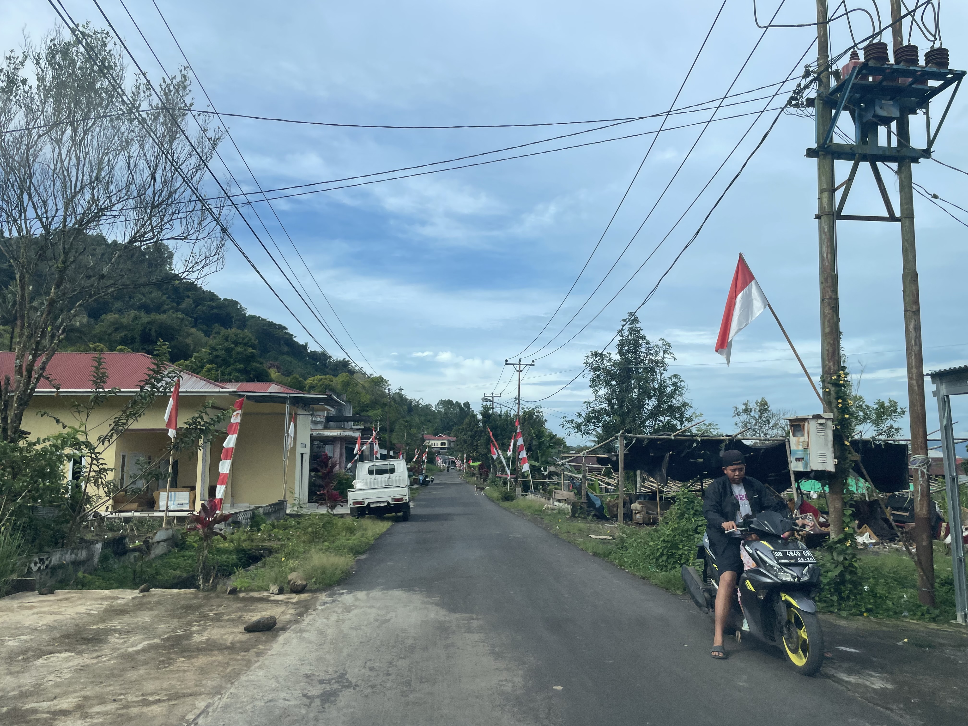
Modern Minahasa has been defined as much by what it has lost as by what it retains. Bitung was carved off as an administrative city in 1975 and became fully independent in 1990. Tomohon and South Minahasa separated on the same day, February 25, 2003. Southeast Minahasa followed on January 2, 2007. Each split reflected local aspirations for autonomy and a closer relationship between government and governed. What remains is a regency of approximately 1,142 square kilometers centered on Tondano, with a population that reached an estimated 351,920 by mid-2023. The territory is divided into 25 districts containing 227 rural desa and 43 urban kelurahan, many of them created after 2010 as the administrative map continued to evolve. Minahasa today is smaller than it once was, but its cultural footprint -- horse racing at Tompaso, the walak tradition of communal governance, the legacy of Sam Ratulangi -- extends far beyond its borders.
Highland Identity
The landscape tells its own story. Minahasa Regency sits in North Sulawesi's volcanic highlands, surrounded by peaks that include Mount Lokon and Mount Mahawu. The capital, Tondano, overlooks the lake of the same name -- the same body of water where the Dutch once stationed seaplanes and where, generations earlier, Minahasan communities fished and farmed its shores. Gold mining has a long history here, documented in Dutch-era photographs of miners working the Totok Minahasa Celebes gold mine. The volcanic soil produces exceptional crops, and the cooler highland climate drew Dutch administrators and missionaries who built churches, schools, and a colonial infrastructure whose traces remain visible in the architecture and the high rates of Christianity that distinguish North Sulawesi from much of Muslim-majority Indonesia. Minahasa is a regency that carries its entire history on its back -- from the walak chiefs to the Dutch residency to the Japanese occupation to a modern republic still redrawing its own boundaries.
From the Air
Located at 1.25°N, 124.83°E in the volcanic highlands of North Sulawesi. Lake Tondano, the regency's most prominent geographic feature, is clearly visible from altitude. Mount Lokon and Mount Mahawu flank the regency to the west. Nearest major airport is Sam Ratulangi International Airport (WAMM) in Manado, approximately 30 km to the north. The highland terrain averages 600-800 meters above sea level, with cooler temperatures than the coastal lowlands.