Miscou Island
The Mi'kmaq called it Susqu -- low land, boggy marsh. They were not wrong. Miscou Island, perched at the northeastern tip of New Brunswick where Chaleur Bay meets the Gulf of St. Lawrence, is a place defined by what grows close to the ground: undisturbed peat bogs, coastal heath, sand dunes anchored by beach grass. With a population of 551 as of 2021, it is the kind of place where the landscape does most of the talking. But Miscou's flatness belies a history that reaches back to the earliest European contact with North America, and a few episodes that are genuinely strange.
Cartier's Landfall and the GouGou
Jacques Cartier explored the Miscou area in 1534, making it one of the first places in Canada to appear in European records. Basque fishermen were working these waters in the same period, drawn by the cod stocks that once seemed inexhaustible. A Jesuit mission was established at Miscou Harbour in 1634, turning the island into a seasonal port of commerce during the early years of New France. But the Mi'kmaq had a more complicated relationship with the place. They were reportedly frightened to visit the island because of the legendary GouGou, a monster said to inhabit Miscou. Despite this fear, hunters overcame their dread each year to set up seasonal camps -- a testament to either the island's practical value or the limits of any monster's intimidation when set against good hunting grounds.
Scots, Jerseymen, and the Moscow-Miscou Flight
The first permanent settler, John Campbell, emigrated from Scotland around 1817. Robert Harper, John Marks, and Thomas Cowan followed soon after -- three of them married Campbell's daughters, anchoring a small Scottish community at the edge of the Gulf. Fishermen from the Channel Islands of Jersey and Guernsey arrived to process codfish at the northern tip, shipping their catch back to Europe, while Acadian families settled the more arable interior lands. Then came one of the odder footnotes in aviation history. On April 28, 1939, Soviet pilot Vladimir Kokkinaki, attempting a non-stop flight from Moscow to New York in a Russian monoplane, was forced to crash-land on Miscou Island. The "Moscow-Miscou" flight, as it became known, gave this remote island a brief moment of international attention -- and a connection to the golden age of long-distance aviation that no one on the island had asked for.
Peat, Plovers, and Pristine Bogs
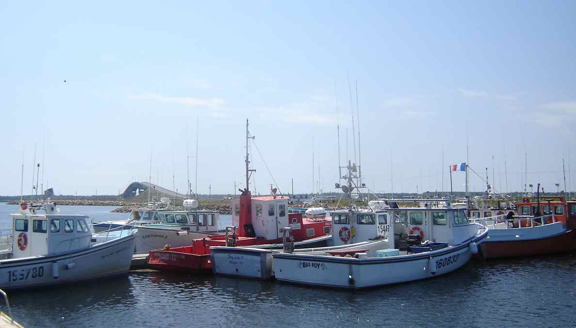
While neighboring areas have harvested their peat bogs commercially, Miscou's have been left in their natural state -- a distinction that earned the island a 2010 Phoenix Award honoring conservation efforts in the North American tourism industry. The island was described in the citation as "one of the single most beautiful spots in the world." Boardwalks thread through the peat moss and across the dunes, providing access without damage. The sand dunes and lagoons host a variety of migratory birds, including the rare piping plover, making Miscou a destination for birders and naturalists. The island's lighthouse, built in 1856 and designated a National Historic Site of Canada in 1974, stands at the northeastern tip, offering guided tours in summer alongside a cafe and gift shop. Lobster and herring fishing remain the economic backbone, as they have been for generations.
An Island Connected
For most of its settled history, reaching Miscou required a cable ferry across the Miscou Channel from Lameque Island. That changed in 1996, when the Miscou Island Bridge opened, physically connecting Route 113 and ending the island's maritime isolation. The bridge brought easier access to campgrounds, cottage rentals, and the tourism infrastructure that now supplements the fishing economy. Kitesurfing, kayaking, and striped bass sport-fishing draw summer visitors. But the island's character remains rooted in its geography -- that flat, boggy, windswept expanse the Mi'kmaq named so accurately centuries ago. The community formed its own local service district in 1980, though by the end of 2022 it had been folded into the larger Acadian Peninsula rural district. Miscou remains small, quiet, and shaped by wind and water.
From the Air
Located at 47.95N, 64.53W at the northeastern tip of New Brunswick, where Chaleur Bay meets the Gulf of St. Lawrence. The island is clearly visible from altitude as a flat, low-lying landmass separated from Lameque Island by the narrow Miscou Channel. The lighthouse at the northeastern point is a useful visual reference. Nearest airport is Bathurst Airport (CZBF) approximately 90 km southwest. The island and its bridge to Lameque Island make an excellent coastal navigation waypoint.