Mission Los Santos Ángeles de Guevavi
Father Eusebio Kino rode into this valley in 1690 and found the Sobaipuri people already living here, in a settlement they called Guevavi. The following year, he and Father Juan Maria de Salvatierra established a mission on the site, marking the first permanent Spanish presence in what would become Arizona. Over the next eight decades, the mission would be called San Gabriel, San Rafael, and San Miguel by successive priests, eventually earning the collective name Mission Los Santos Angeles de Guevavi, the Mission of the Holy Angels. Today only ruins remain, crumbling adobe walls that once held the hopes of Spanish empire and Pima converts alike.
Kino's Neat Little House
Eusebio Kino was no ordinary priest. The Jesuit missionary mapped the Sonoran Desert's rivers and mountain ranges, proved that Baja California was a peninsula rather than an island, and established a chain of missions across the frontier. When he visited the Sobaipuri settlement at Guevavi in 1690, he saw potential for conversion and alliance. By the late 1690s, the mission consisted of a church, carpentry shop, and blacksmith's area. Pima laborers built a small chapel in 1701 using adobe bricks and basic tools. Archaeologist Deni Seymour later excavated what she identified as Father Kino's neat little house and church, finding the physical remains of the mission's earliest phase beneath layers of later construction and abandonment.
Headquarters on the Rim of Christendom
Guevavi served as the administrative headquarters for the Jesuit missions in the region, a hub from which priests traveled to outlying visitas and rancherias. The location was strategic: close enough to the established Spanish settlements in Sonora to receive supplies and reinforcements, yet far enough into O'odham territory to serve as a launching point for further expansion. Historian John Kessell titled his comprehensive study of the mission Mission of Sorrows, a name that captures the struggles that plagued the enterprise. Periods without resident priests, conflicts between indigenous peoples and settlers, and the sheer difficulty of maintaining European religious structures in the desert all took their toll.
The Franciscan Twilight
In 1768, the Spanish Crown expelled the Jesuits from all its territories. Father Juan Crisostomo Gil de Bernabe became the first Franciscan priest at Guevavi, arriving to find about fifty families still attached to the mission. He had barely settled in when catastrophe struck. In 1769, Apaches attacked and killed all but two of the Spanish soldiers guarding the mission. The attacks continued through 1770 and 1771, making the site untenable. The cabecera, or headquarters, relocated south to Tumacacori, where the larger mission complex visitors see today would eventually rise. By 1776, Mission Guevavi was abandoned for the last time, its adobe walls beginning their slow return to the desert earth.
Preserved in Ruin
For over two centuries, the mission's remains sat quietly in the Santa Cruz Valley, slowly eroding but never completely forgotten. In 1990, the National Park Service incorporated the Guevavi ruins into Tumacacori National Historical Park, recognizing their significance as a National Historic Landmark. The site also became a designated stop on the Juan Bautista de Anza National Historic Trail, commemorating the Spanish explorer who passed through this valley in the 1770s on his expeditions to California. Today, archaeologists continue to piece together the mission's layered history, finding evidence of the indigenous Sobaipuri-O'odham settlement that predated Kino's arrival, the Jesuit construction phases, and the brief Franciscan occupation.
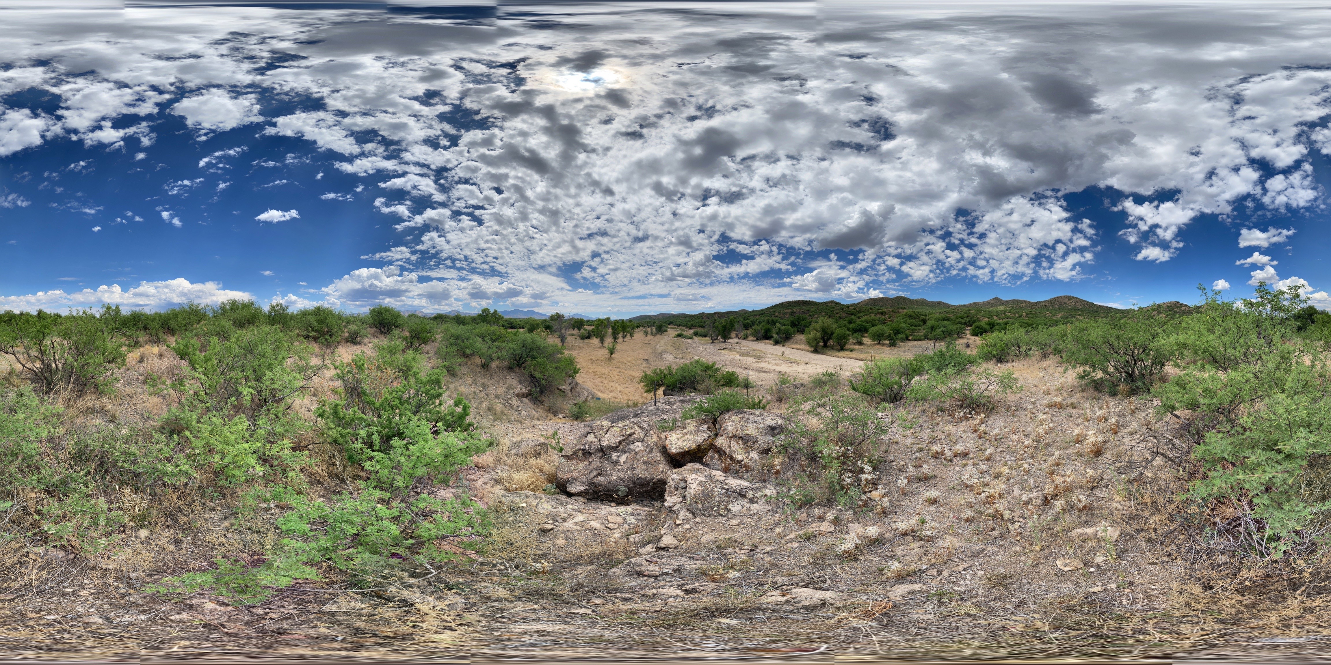
Where Earth and Sky Meet
The O'odham people have a phrase that archaeologist Deni Seymour used as the title for her book about Sobaipuri contact with the Spanish: Where the Earth and Sky are Sewn Together. It describes this landscape where the Santa Cruz River cuts through desert valleys beneath the vast Arizona sky. Guevavi represents a collision point, where indigenous ways of life met European ambitions, where Jesuit idealism confronted Apache resistance, where adobe churches rose and fell while the land endured. The ruins visible today are fragments of that encounter, standing among mesquite and ocotillo as monuments to a frontier that was never as simple as the categories of civilization and wilderness, convert and pagan, that its builders imagined.
From the Air
Mission Los Santos Angeles de Guevavi lies at 31.41°N, 110.90°W within Tumacacori National Historical Park. The ruins are difficult to spot from altitude but the larger Tumacacori mission complex is visible along the Santa Cruz River valley. Look for the distinctive white church dome of the main Tumacacori mission as a reference point. Best viewed at 2,000-3,000 feet AGL. Nearest airports: Nogales International (KOLS) 12 miles south. The Santa Cruz River corridor runs north-south through the valley.