Mission Trails Regional Park
Most American cities of San Diego's size have a flagship city park — a few hundred acres of lawn and paths, maybe a zoo or a museum, carved out before the housing subdivisions arrived. Mission Trails Regional Park is something else: 7,220 acres of chaparral, canyon, river bottom, and peak, established in 1974, the sixth-largest municipally owned park in the United States and the largest in California. Cowles Mountain rises to 1,592 feet at its center, the highest point within the city limits. The San Diego River flows through its valleys. The Old Mission Dam — built in 1803 — sits inside the park boundaries. In 2024, the park celebrated fifty years.
What the Park Contains
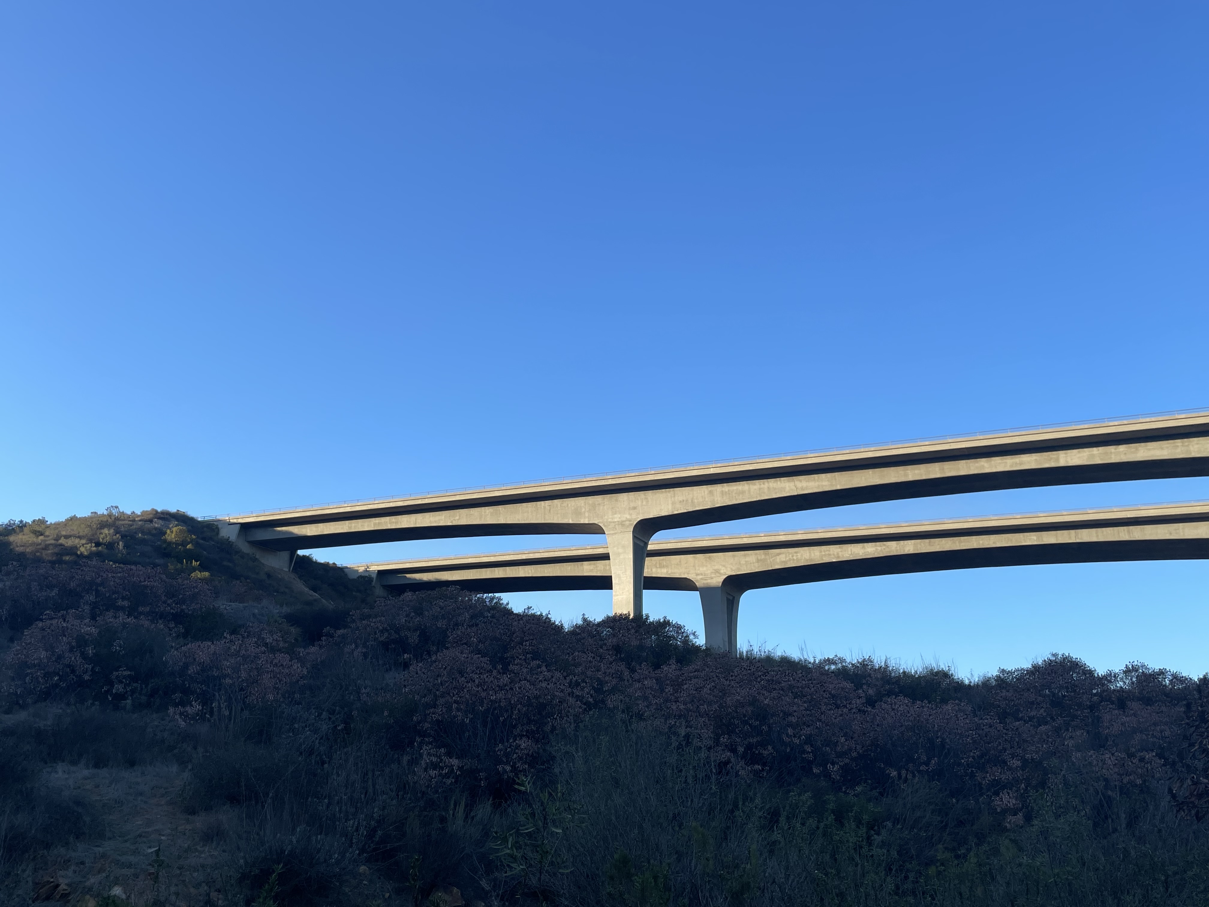
The range of what Mission Trails holds within its boundaries is unusual for an urban park. Sixty miles of trails traverse chaparral and coastal sage scrub, connecting the summit of Cowles Mountain to the river valley below. The San Diego River, whose lower reaches are heavily managed and channelized, runs through the park in a more natural state — braided channels, riparian habitat, seasonal variation in flow. The Old Mission Dam, built in 1803 by mission labor to divert water to the fields of Mission San Diego de Alcalá, is a National Historic Landmark within the park, a piece of colonial infrastructure that survived because it was built of stone. The Kumeyaay Lake Campground operates 46 sites. The Visitor and Interpretive Center, opened in 2002, covers 14,000 square feet and offers exhibits on the park's natural and human history.
The Highest Point and the River
Cowles Mountain defines the park's skyline from much of eastern San Diego. At 1,592 feet — sometimes cited as 1,593 depending on the measurement — it is definitively the highest point within the city of San Diego's boundaries, a distinction that draws over 500,000 visitors to its summit annually. The main trail from the Big Rock trailhead gains 950 feet in 1.5 miles, a workout that rewards with a panoramic view stretching from the Pacific to the Anza-Borrego desert. Below the mountain, the San Diego River runs west through the park before entering the more developed portions of Mission Valley. The river is the reason the park exists in roughly the shape it does: the watershed required open land to function, and that open land, once set aside, became the park.
Five Peaks and Fifty Years
Mission Trails launched the Five Peak Challenge between 2015 and 2020, inviting visitors to summit all five of the park's named peaks — Cowles Mountain, Pyles Peak, North Fortuna, South Fortuna, and Kwaay Paay. The challenge attracted thousands of participants who might otherwise have stuck to the main trail up Cowles Mountain, distributing use across the park and introducing hikers to terrain they would not otherwise have sought out. In 2024, the park celebrated its fiftieth anniversary of acquiring Cowles Mountain, the event that effectively created the park's current character. The acquisition was the result of years of advocacy, land purchases, and the recognition — not universal in the early 1970s — that San Diego needed large-scale open space within its urban boundaries.
The Wildlife at Dusk
Twenty-three species of bats have been recorded in Mission Trails Regional Park — a number that reflects the diversity of the habitat rather than any particular bat management effort. The park's varied terrain includes the caves, rock faces, and riparian corridors that different bat species use for roosting and foraging. At dusk in summer, bats emerge from roosts throughout the park and begin working the insects above the river and the chaparral — a phenomenon visible to anyone who stays past sunset on the trails. The park also supports mule deer, coyotes, bobcats, and the full complement of chaparral and coastal sage scrub species. Mountain lions have been documented in the park's less-trafficked areas. What makes Mission Trails unusual is not any single species but the density of wildlife within the boundaries of a functioning American city.
From the Air
Mission Trails Regional Park encompasses approximately 32.83°N, 117.05°W in the eastern San Diego urban area, with Cowles Mountain (1,592 ft) as the identifiable high point. The park's chaparral-covered terrain contrasts sharply with surrounding residential development. The Old Mission Dam sits in the river canyon at the park's western edge. Nearest airports: KMYF (Montgomery-Gibbs Executive) 4 miles northwest, KSAN (San Diego International) 11 miles west. Best viewed at 3,000–5,000 feet MSL to appreciate the park's full extent within the urban grid.