Miyake-jima
Every resident of Miyake-jima once carried a gas mask. Not as a precaution from some bygone era, but as daily routine in the twenty-first century, because the volcano at the center of their eight-kilometer-wide island had blown its top off in the year 2000 and spent the next several years belching sulfur dioxide into the air. This is life on Miyake-jima, a roughly circular volcanic island in the Izu archipelago about 180 kilometers southeast of Tokyo, where the line between paradise and catastrophe has always been measured in the thickness of a lava flow.
Three Houses and a Deity
The origin of Miyake-jima's name is wrapped in mythology. According to the Miyakeki, a manuscript penned by a Shinto priest from the island, the deity Mashima constructed his palace here after building two other houses on neighboring islands. The three houses -- their backs facing the palace in a deliberate line -- gave rise to what scholars call the 'three-house theory.' Another hypothesis links the island's shrines to those on Miyajima in Hiroshima Bay, suggesting an ancient religious connection across hundreds of kilometers of open water. With so many competing theories, the true etymology remains elusive, but the mythological weight of the name suits an island that has always demanded reverence from its inhabitants.
A Stratovolcano with a Short Fuse
Miyake-jima is a stratovolcano with a granitic composite cone dating to the late Pleistocene, somewhere between 10,000 and 2,000 years ago. Mount Oyama, the active peak at 759 meters, appears in written records as far back as the Nara period. Over the past 890 years, the mountain has erupted 13 times, including five eruptions since the start of the Meiji period. A 1940 lava flow killed 11 people. Further eruptions followed in 1962 and 1983. Then came July 14, 2000, when Mount Oyama erupted again. This time the summit collapsed into a caldera 1,600 meters wide and 550 meters deep. By September, the entire island was evacuated. Residents did not return permanently until February 1, 2005 -- more than four years later. Even then, sulfur dioxide continued streaming from the crater, and gas alarms still sound when toxic levels spike.
The Akakokko's Island
Despite the volcanic violence, Miyake-jima harbors an unusually rich assembly of wildlife. BirdLife International designated the island an Important Bird Area for its populations of Japanese wood pigeons, Japanese murrelets, Pleske's grasshopper warblers, Ijima's leaf-warblers, and the Izu thrush -- known locally as the akakokko. These species thrive in the island's subtropical forests, sustained by a humid climate with warm summers, mild winters, and abundant year-round rainfall. Underwater, the island's coral reefs draw divers from across Japan, and a resident dolphin population in the waters off neighboring Mikura-jima makes the area a magnet for marine enthusiasts. The natural world here persists in a state of constant negotiation with volcanic disruption, rebounding after each eruption with remarkable tenacity.
Five Hamlets on the Ring
Miyake-jima's roughly circular coastline stretches 88.3 kilometers, and along it sit the five traditional hamlets of Izu, Kamitsuki, Igaya, Ako, and Tsubota. Tsubota, on the southeast coast, serves as the administrative center. The island falls under the Miyake subprefecture of the Tokyo Metropolitan government -- making this a volcano-studded outpost that technically shares governance with Shibuya and Shinjuku. As of 2016, about 2,451 people lived here. Two bus routes circle the island, one clockwise and one counterclockwise, though the gap between stops can stretch from a few minutes to three hours. The island also administers the tiny uninhabited rock of Onoharajima to the west-southwest. Life here moves at a pace dictated not by train schedules but by wind direction and volcanic mood.
Getting to the Edge of Tokyo
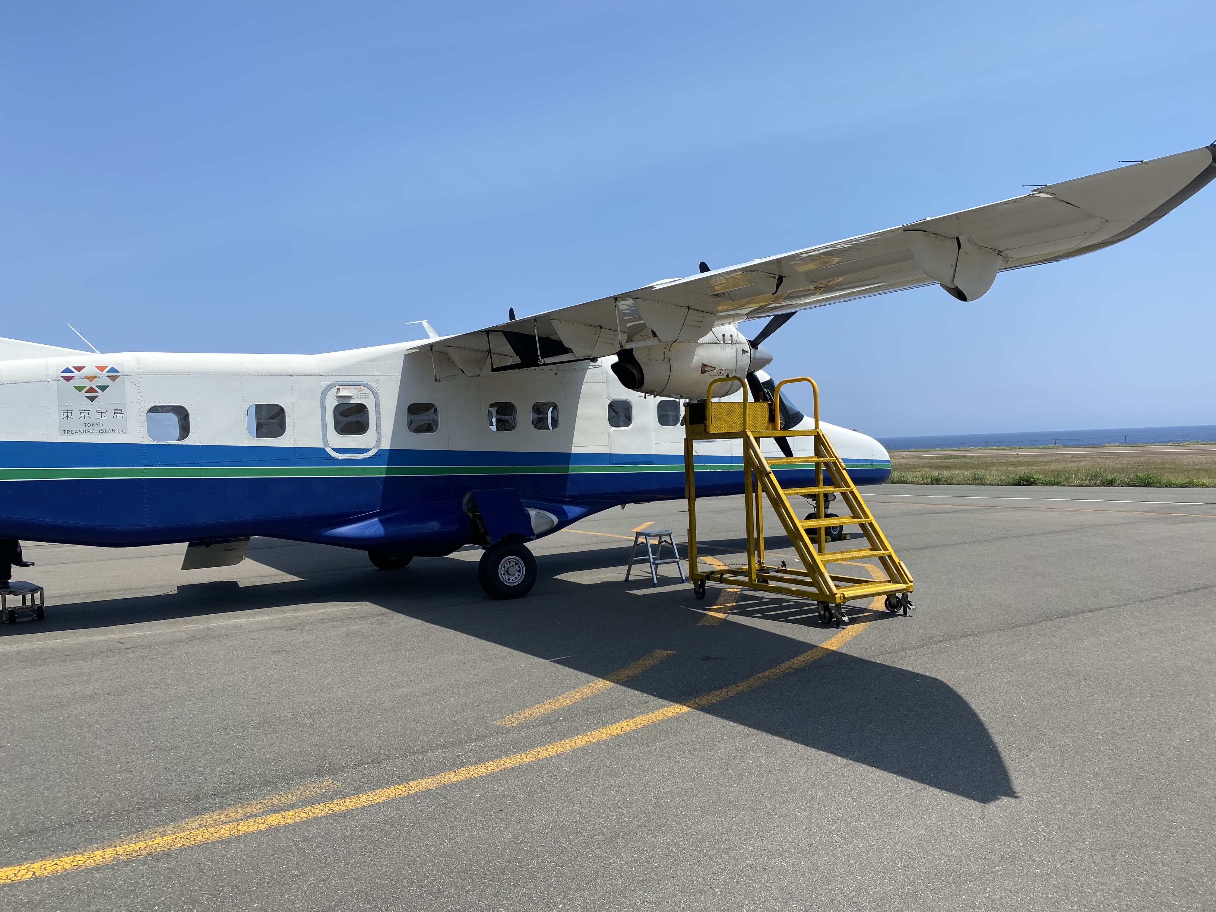
Reaching Miyake-jima requires commitment. The overnight ferry Tachibana Maru departs Takeshiba Pier near Hamamatsucho Station in central Tokyo at 22:30 and arrives at dawn. Which of the island's three ports -- Miike, Igaya, or Sabigahama -- the ferry docks at depends entirely on wind conditions that morning, a daily gamble that keeps arrival unpredictable. Flights from Miyakejima Airport to Haneda take about 50 minutes, though the route was suspended for nearly eight years after the 2000 eruption due to sulfuric gas concentrations. Flights resumed in April 2008 once airborne sulfur dropped below 0.2 parts per million. Helicopter service connects through Izu Oshima, and the Tokyo Island Shuttle hops between Aogashima, Toshima, Mikura-jima, and Hachijo-jima. The journey itself is part of the experience -- a gradual separation from mainland Japan into something wilder.
From the Air
Miyake-jima sits at approximately 34.08N, 139.53E in the Izu Islands chain, about 180 km southeast of Tokyo across the Philippine Sea. The island is unmistakable from the air: a nearly perfect circle roughly 8 km in diameter with the collapsed caldera of Mount Oyama dominating the center. Miyakejima Airport (RJTQ) offers the closest landing option, with a 50-minute flight to Haneda Airport (RJTT). Chofu Airport (RJTF) also operates flights to the island. Approach from the north for the best view of the caldera against the Pacific backdrop. Fly at 3,000-5,000 feet to appreciate the full ring shape of the coastline. Watch for volcanic haze -- sulfur dioxide emissions remain ongoing. The island is part of Fuji-Hakone-Izu National Park.