The Mobile-Tensaw Delta: America's Hidden Amazon
The schooner Clotilda slipped into these waters on July 7, 1860, carrying 110 enslaved West Africans captured in Dahomey, and was burned and sunk to hide the evidence. It was the last slave ship to enter the United States. The waterway that concealed that crime is the Mobile-Tensaw River Delta - 260,000 acres of cypress swamp, tidal marsh, and bottomland forest stretching 45 miles through southern Alabama. It is the second-largest river delta in the contiguous United States, a landscape so vast and biologically rich that conservationists classify it as irreplaceable. Yet most Americans have never heard of it.
Born from Ancient Seas
The delta occupies a river valley that began forming several million years ago, when separate inland streams converged as they flowed southward across land once covered by the Gulf of Mexico. By the end of the last major ice age, around 18,000 years ago, sea levels had dropped so low that Alabama's coastline lay far south of its present location, and the delta's waterways extended well beyond their current termination at the head of Mobile Bay. As temperatures rose and ice melted, the sea reclaimed the land, shaping the labyrinth of channels and wetlands that exists today. The result: roughly 300 square miles where 20,000 acres of open water, 10,000 acres of marsh, 70,000 acres of swamp, and more than 85,000 acres of bottomland forest create one of the most ecologically diverse landscapes in North America.
Five Thousand Years of Human Presence
People have inhabited the delta for at least 5,000 years. During the Mississippian period, the Pensacola culture built earthen mounds along Bottle Creek and the Tensaw River - ceremonial structures that still stand in the swamp. The Taensas (from whom the Tensaw River takes its name), the Creek, and the Choctaw all made the delta home. Spanish forces visited in the 16th century. French explorers arrived at the close of the 17th century, establishing colonial Mobile in 1702 at Twenty-seven Mile Bluff on the Mobile River. The delta has witnessed conquest and resistance: during the Creek War of 1813, Red Stick Creeks attacked Fort Mims near the confluence of the Alabama and Tombigbee Rivers, killing nearly 275 militia and most of the mixed-blood Tensaw and Lower Town Creek settlers.
The Clotilda's Secret and the Last Battle
The Clotilda's arrival in 1860 was an act of deliberate defiance - the importation of enslaved people had been illegal since 1808. The schooner was scuttled in the delta's waters to destroy the evidence. After emancipation, many descendants of the Clotilda's captives established Africatown in Mobile, a community that endures today. The delta also witnessed the last significant battle of the Civil War, fought at the fortified town of Blakeley on the delta's edge. A railroad connecting Mobile to Montgomery opened across the delta in 1872. In the mid-1920s, the Causeway was built across the lowest part of the delta, connecting the western and eastern shores of Mobile Bay - a piece of infrastructure that would prove to be one of the most damaging man-made alterations to the ecosystem.
A Threatened Wilderness
The delta is classified as one of only 327 watersheds in the United States deemed irreplaceable for conserving freshwater fish and mussel species at risk. The Alabama Forever Wild program and the state Department of Conservation both rank it among their highest priorities. But the threats are relentless. The 1920s Causeway restricts sediment and water exchange with Mobile Bay, dramatically increasing sedimentation and reducing salinity in ways that have altered fish, crustacean, and plant communities. Upstream pollution carries aluminum, copper, iron, and pesticides into the basin. The Claiborne Lock and Dam isolates wildlife populations. Invasive species - Eurasian watermilfoil, water hyacinth, Asiatic clams, and especially wild swine, which devour everything from crops to turtle eggs - have permanently altered the ecology.
Exploring the Water Maze
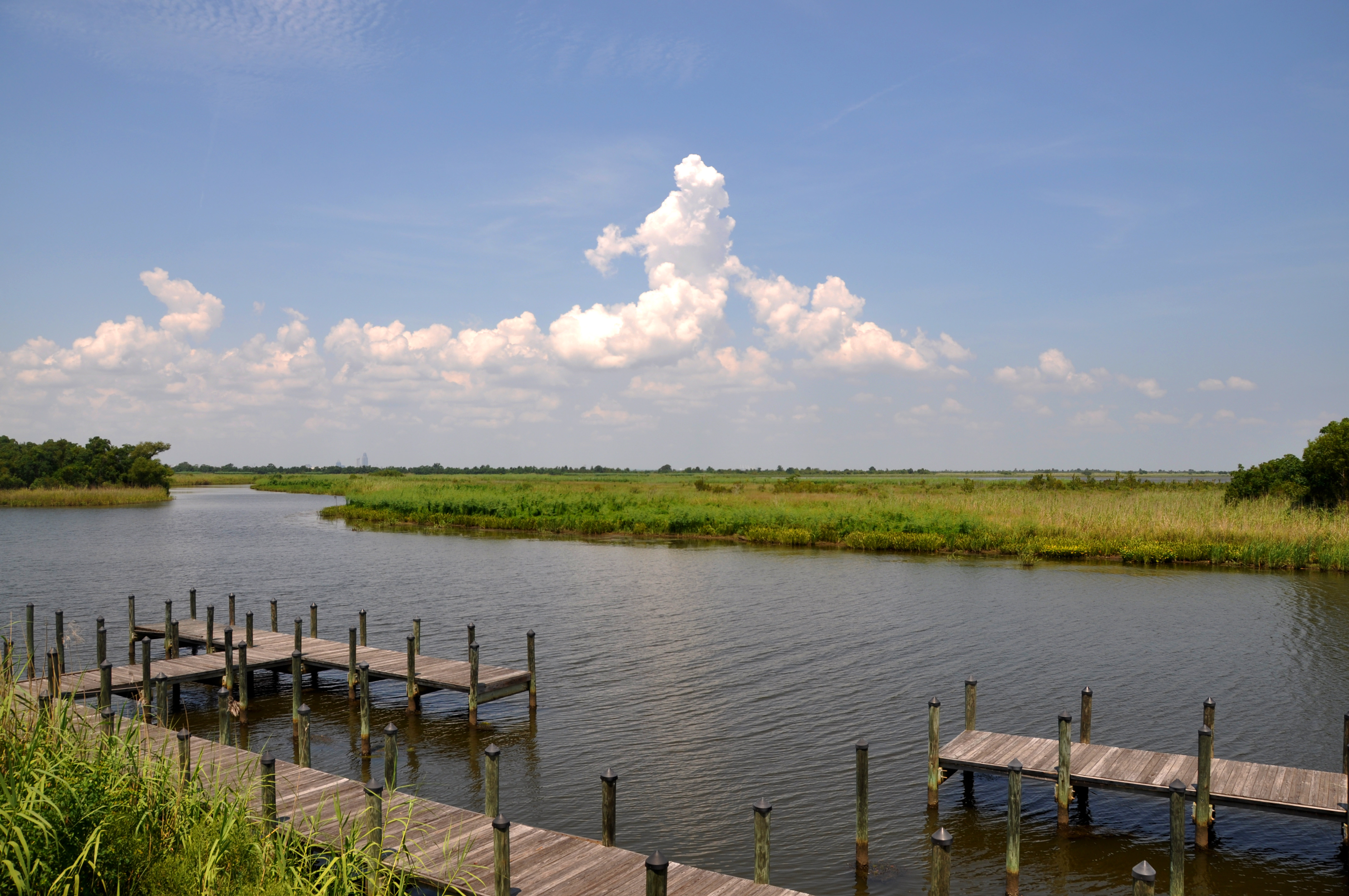
The delta remains remarkably accessible despite its wildness. The Bartram Canoe Trail provides a network of waterways for paddlers to explore, and boat ramps dot the area. Most of the delta is shallow water, best navigated by airboat, canoe, or kayak. Bird watching draws visitors year-round to one of the richest avian habitats on the Gulf Coast. Hunting is a longstanding tradition - wild hogs have no closed season, since humans are the only meaningful check on their population. The landscape rewards those who enter it: cypress-gum swamps draped in Spanish moss, brackish tidal marshes where freshwater meets salt, and bottomland forests that have stood for centuries.
From the Air
Located at 30.75°N, 87.94°W, the Mobile-Tensaw Delta stretches approximately 45 miles north-south and averages 8 miles wide (up to 16 miles at its widest). From altitude, the delta is unmistakable - a vast green expanse of wetlands between Mobile to the west and Baldwin County to the east, fanning out into Mobile Bay. Interstate 65 and Interstate 10 cross different sections. The Causeway (Battleship Parkway) spans the southern portion. Nearest airports are Mobile Downtown Airport (BFM), approximately 5 nm southwest, and Mobile Regional Airport (MOB) about 12 nm west. Best viewed at 3,000-5,000 feet AGL to appreciate the full scale of the wetland system.