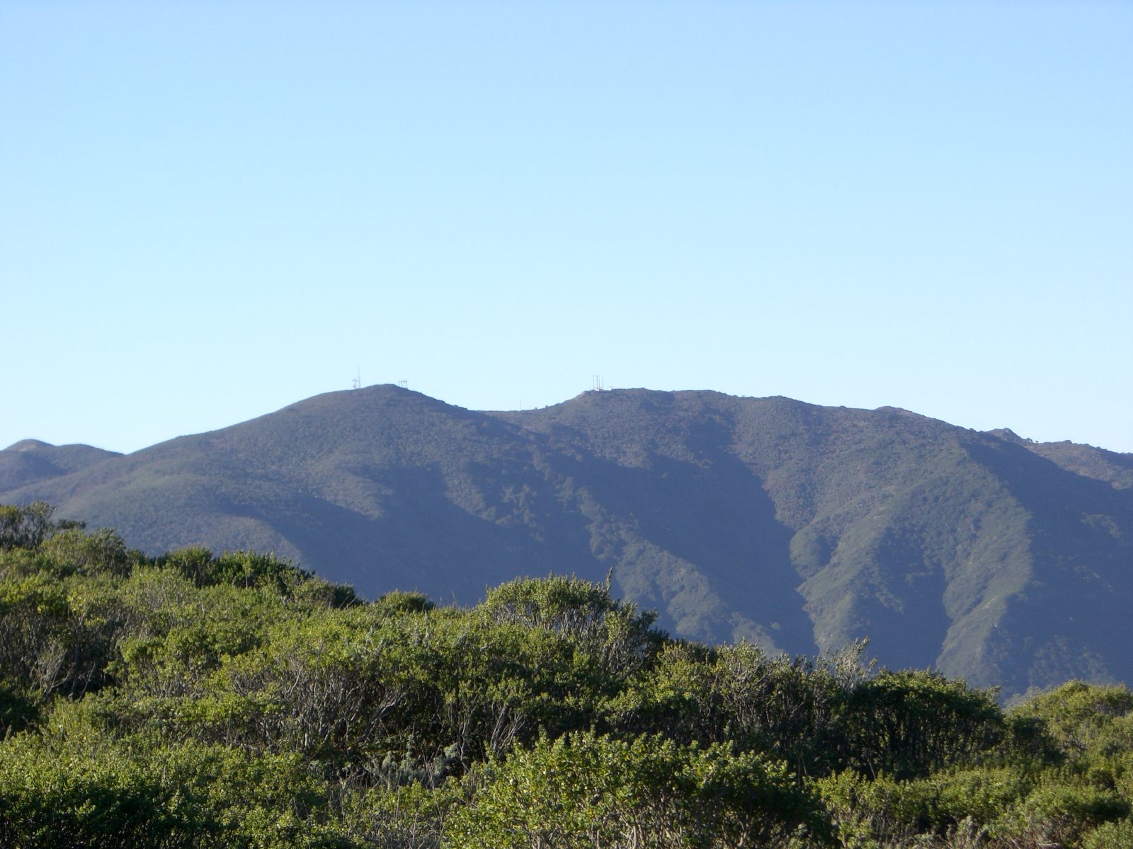
Montara Mountain
"We travelled two hours of very bad road up over a very high mountain." Gaspar de Portola's diary entry from October 31, 1769, is the first European description of crossing Montara Mountain, and two and a half centuries later it remains fair. The mountain rises to 1,898 feet at the northern tip of the Santa Cruz Mountains, forming a ridge that separates the Pacific coast from San Pedro Valley. When the Portola expedition crested the summit, twenty-five Aramai people from the village of Pruristac came up to meet them, offering "black pies made of seeds" and pointing out the abundance of mussels, deer, and bear. The Spanish descended into San Pedro Valley and camped. Within a decade, their missionaries would transform this coast forever.
The Rancho Road and Devil's Slide
During the Mexican Rancho era, a road called Camino Pedro Cuesta traversed Saddle Pass, connecting the Sanchez Adobe in San Pedro Valley with Rancho Corral de Tierra Palomares in Montara. After the Mexican-American War, this routing was known as "Road Trail" and was considered nearly impassable to wheeled vehicles. In 1879, the steep and rutted crossing was replaced by the Half Moon Bay-Colma Road, which included grades of 24 percent -- a marginal improvement that still defeated most automobiles. The mountain's resistance to easy passage forced successive generations to find new routes around and through it, culminating in the modern Highway 1 alignment along Devil's Slide and, eventually, the Tom Lantos Tunnels that bypass the unstable coastline entirely.
Brooks Falls and Threatened Steelhead
Four creeks rise on Montara Mountain: Denniston Creek, Arroyo de en Medio, Dean Creek, and San Pedro Creek. Brooks Creek, a tributary of San Pedro Creek, originates on the mountain's north face and drops 207 feet in a tall, thin cascade called Brooks Falls, the tallest waterfall in San Mateo County. The steelhead trout population in San Pedro Creek belongs to the Central California Coast distinct population segment, listed as threatened since 2011. These fish navigate from the Pacific up through suburban Pacifica to reach spawning habitat on Montara Mountain's flanks, a journey that requires passage through culverts, under highways, and past development that did not exist when the Aramai fished these same waters.
An Island of Biodiversity
Montara Mountain's position near the end of a peninsula gives it an island-like biological isolation. The serpentine soils of the lower slopes support an unusual concentration of rare plants, including Hickman's potentilla, the San Mateo thornmint, and a rare endemic manzanita, Arctostaphylos montaraensis, which was named for this mountain. The ecological isolation means that species here have evolved in relative seclusion, producing a flora found nowhere else. Trails reach the summit from both sides: the North Peak Access Road climbs from Pedro Mountain Road through McNee Ranch State Park to the south, while Montara Mountain Trail and Brooks Creek Trail provide access from San Pedro Valley County Park to the north. The Devil's Slide Trail connects Pacifica to Montara along the coast below, completing a network that lets hikers traverse the mountain's full range of habitats in a single day.
From the Air
Located at 37.53°N, 122.43°W. The summit at 1,898 ft is the highest point on the immediate San Mateo coast and is a significant terrain obstacle for low-altitude coastal flights. The mountain separates Pacifica to the north from Montara and Half Moon Bay to the south. Half Moon Bay Airport (KHAF) is approximately 4 nm south. San Francisco International (KSFO) is 9 nm north. Maintain clearance above the summit, especially in fog conditions when the mountain frequently rises above the marine layer.