Moto Sakura Castle
By 1469, the Chiba clan had been reduced to vassals of their own former retainers. Once among the eight most powerful samurai families in the Kanto region, they now ruled at the sufferance of neighbors who could crush them. It was under these diminished circumstances that Chiba Suketane built Moto Sakura Castle on a long, narrow ridge in what is now Chiba Prefecture, surrounded on three sides by marshland that served as a natural moat. The castle was not a monument to power. It was a survival strategy.
A Ridge Between Provinces
The site Suketane chose was strategic in ways that went beyond its marshland defenses. When built during the Muromachi period, the castle perched on the shore of the Gulf of Kashima, a body of water that extended inland to what are now Lake Kasumigaura, Lake Teganuma, and Lake Inbanuma. This waterway formed the natural border between Shimosa Province and Hitachi Province. The road connecting the political capital of Kamakura to the Pacific coast city of Choshi and the mouth of the Tone River passed directly through this location. The castle measured approximately 800 meters in length by 700 meters in width, roughly L-shaped, with an elevation of 30 meters -- modest by mountain castle standards but well-positioned to control both water and land routes through a critical borderland.
Caught Between Giants
The Chiba clan's history reads like a cautionary tale of feudal politics. Chiba Tsunetane had backed the winning side during the Genpei War, supporting Minamoto no Yoritomo, and the Kamakura shogunate rewarded the family with most of Shimosa and Kazusa Provinces. But the shogunate's fall fractured the clan. Internal conflicts drained their strength, and by the mid-15th century they had lost nearly everything. When Makuwari Yasutane attacked Chiba castle in 1455, the defeated clan was absorbed rather than destroyed; the conquerors simply took the Chiba name. The rebuilt family, with Moto Sakura Castle as its seat, found itself hemmed in by the Satake clan from Hitachi, the Satomi clan from the southern Boso Peninsula, and the shifting authority of the Ashikaga family's Kanto kubo.
The Hojo Shield
Survival came through alliance with the Odawara-based Hojo clan. With Hojo backing, Chiba Tanetomi held the castle from 1527 to 1579, repeatedly fending off attacks from Uesugi Kenshin and the Satomi. The Hojo invested in the castle's defenses, expanding its earthen ramparts and adding dry moats. But after Tanetomi's death, the Chiba became direct Hojo vassals, their independence finally extinguished in all but name. When Toyotomi Hideyoshi defeated the Hojo at the Battle of Odawara in 1590, the Chiba clan fell with their patrons. Hideyoshi awarded the entire Kanto region to Tokugawa Ieyasu, who demolished most of Moto Sakura Castle's defenses and established a jin'ya administrative post on the site, originally granted to his fifth son, Takeda Nobuyoshi.
One Castle Per Domain
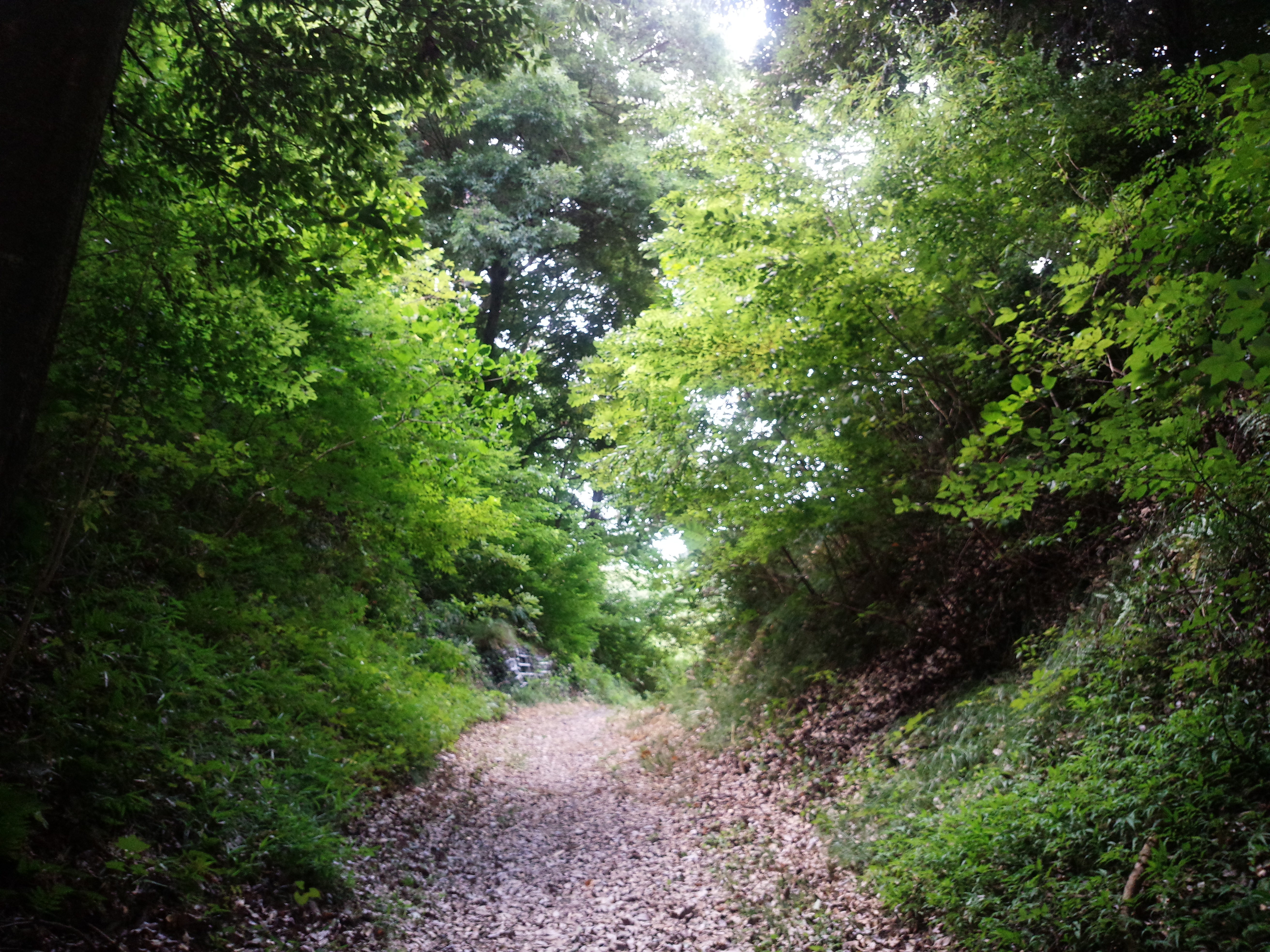
The castle's final chapter came under the Tokugawa shogunate. Doi Toshikatsu, the daimyo of Sakura Domain, resided at Moto Sakura Castle while Sakura Castle was being constructed two kilometers to the west. Once the new castle was finished, the Tokugawa policy of 'one castle per domain' sealed Moto Sakura's fate. The fortress was officially abandoned in 1615. The castle town of Sakura survived the transition, reinventing itself as a post station on the Narita Kaido highway. Today, the central earthworks and portions of the ramparts remain as a historical park, protected as a National Historic Site since 1998 and recognized as one of Japan's Continued Top 100 Castles in 2017. A 15-minute walk from Osakura Station on the Keisei Main Line brings visitors to the quiet ridge where a diminished clan once made its stand.
From the Air
Located at 35.73N, 140.26E on a low ridge in Chiba Prefecture, between the town of Shisui and the city of Sakura. The castle ruins are approximately two kilometers east of the Edo-period Sakura Castle site. From the air, the L-shaped earthworks are visible on a narrow hill surrounded by flat agricultural and suburban land. Narita International Airport (RJAA) is approximately 10 km to the east. Best viewed at 1,500-2,500 ft altitude. The Keisei Main Line railroad provides a visual reference running nearby.