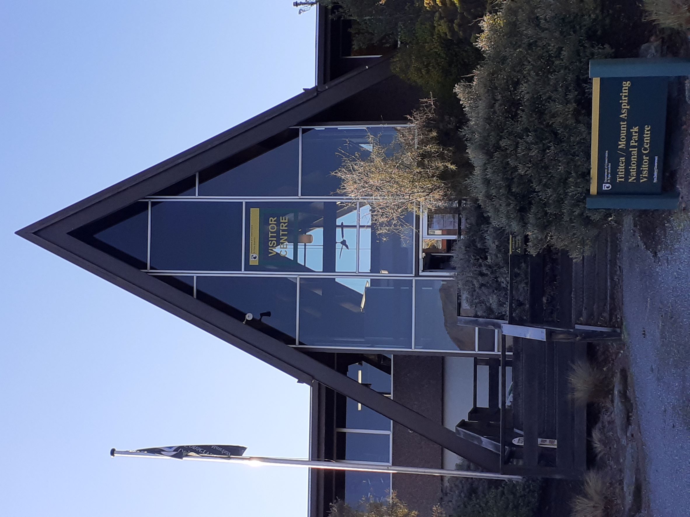
Mount Aspiring National Park
You cannot stumble into Mount Aspiring National Park by accident. Every route demands commitment: a two-hour crawl over 54 kilometres of unsealed road from Wanaka, a gravel track requiring four-wheel drive from Glenorchy, or State Highway 6 winding through the Haast Pass with no mobile coverage and no towns for hours in either direction. This is New Zealand's tenth national park, established in 1964, and it has made remoteness its defining feature. Part of the Te Wahipounamu UNESCO World Heritage Area alongside Fiordland, Aoraki / Mount Cook, and Westland Tai Poutini, the park spans three South Island regions - West Coast, Otago, and Southland - without belonging entirely to any of them.
The Road Through the Mountains
The Haast Pass carries the only road connecting Otago to the West Coast, and for much of its length it threads through the park's eastern edge. Maori used this crossing long before Europeans arrived, navigating between the regions on foot. Today, State Highway 6 follows roughly the same route, sealed and smooth but narrow, bending through valleys where the mountains press close on both sides. Most of the park's best-known attractions line this highway: the Blue Pools, where glacial meltwater collects in basins so transparent that trout seem to hover in midair, and Thunder Creek Falls, dropping through dense rainforest. The Department of Conservation warns visitors to save their brochure offline before entering - cellular service disappears as thoroughly as the pavement on the side roads.
Seven Metres of Rain
The West Coast side of the park receives around seven metres of rainfall annually, making it one of the wettest places on Earth. This relentless precipitation drives everything about the landscape: the rivers run cold and fast, the forest grows thick and dripping, and the glaciers that crown the peaks receive constant replenishment. In the valleys, temperatures drop below freezing regularly even in summer, and winter transforms the park into something closer to subarctic wilderness. The moisture feeds a layer of freshwater that sits atop the fiords to the south, and it nurtures the kind of dense, moss-covered rainforest that makes visitors feel they have stepped back several geological eras. Bring a quality rain jacket, the guidebooks all say - and they are not exaggerating.
Tititea and the Pyramidal Peak
The park takes its name from Mount Aspiring, known in te reo Maori as Tititea, which at 3,033 metres is the highest peak in New Zealand outside the Aoraki / Mount Cook region. Viewed from the Matukituki River valley, its pyramidal summit earns comparisons to the Matterhorn. The mountain's dual name was formalized in 1998 through the Ngai Tahu Claims Settlement Act, restoring the name given by the Waitaha iwi, who were among the first people to settle the South Island. Climbing Tititea is a serious undertaking - the approach alone requires traversing the Bonar Glacier, and many climbers choose helicopter access rather than face the gruelling multi-day hike from Raspberry Flat. The park has seen its share of accidents and fatalities, a reminder that beauty and danger share these slopes in equal measure.
What Remains, What Was Lost
In 2013, contributors to the journal Science identified Te Wahipounamu as one of only 78 protected areas on the planet most critical for preventing mammal, bird, and amphibian extinctions. The distinction is bittersweet. Mount Aspiring National Park was once home to both the takahe and the kakapo - two of New Zealand's most iconic flightless birds - but both have vanished from these valleys. What lingers is the rowi, the rarest species of kiwi, holding on in the park's dense forests. Proposals to tunnel through the mountains for a bus route to Milford Sound were rejected in 2006 for environmental reasons; mining proposals met the same fate in 2009. The park expanded in 2005 when the Nature Heritage Fund purchased land along the Landsborough River, the only expansion in its history. For now, the wilderness remains intact - precisely because getting here requires the kind of effort that keeps most of the world away.
From the Air
Located at 44.38S, 168.73E in the Southern Alps of New Zealand's South Island. The park spans a massive area across three regions. Mount Aspiring / Tititea (3,033m / 9,951ft) is the dominant peak, visible as a pyramidal summit. Nearest airports: Queenstown (NZQN) to the southeast, Wanaka (NZWF) to the east. The Haast Pass (State Highway 6) threads through the eastern portion. Expect mountain wave turbulence and rapidly changing weather. The West Coast side receives approximately 7 metres of rainfall annually. Blue Pools and Thunder Creek Falls are visible landmarks along the Haast Highway. Glacier-clad peaks throughout; the Matukituki Valley leads toward Tititea from the east.