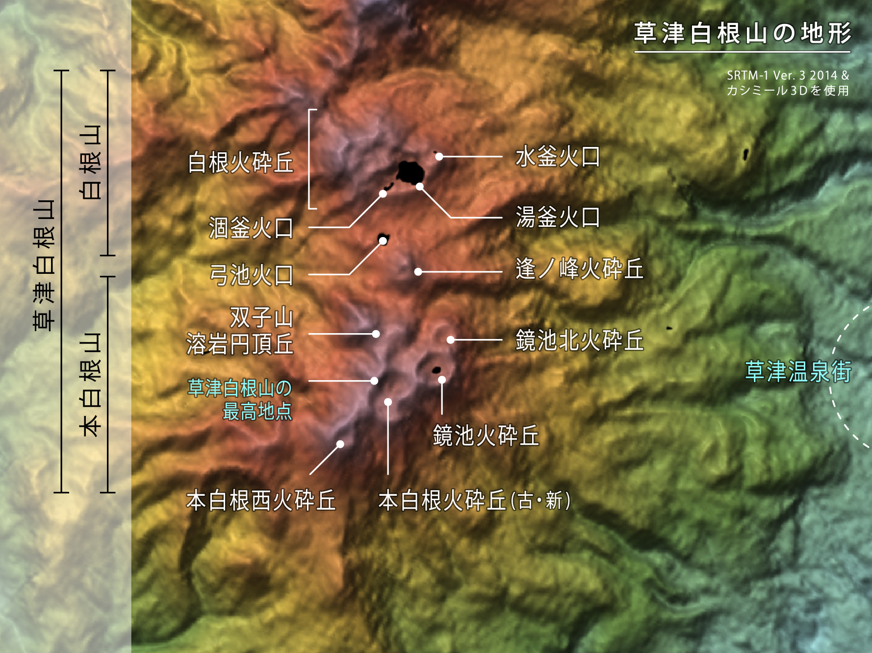
Mount Kusatsu-Shirane
The water should not be that color. At 2,165 meters above sea level, cradled inside a volcanic crater in Gunma Prefecture, Yu-gama glows an impossible shade of emerald green. Rafts of bright yellow sulfur drift across its surface like strange lily pads. The lake measures 270 meters wide and plunges 27 meters deep, and its pH hovers around 1.2, making it one of the most acidic natural bodies of water anywhere on the planet. Mount Kusatsu-Shirane earned its name to distinguish it from Mount Nikko-Shirane on the other side of Gunma Prefecture, but there is nothing ordinary about this volcano. Positioned just north of the powerful Mount Asama, its summit consists of overlapping pyroclastic cones and three crater lakes, a landscape that looks less like the Japanese highlands and more like another world entirely.
A Lake That Burns
Yu-gama is the largest and most striking of Kusatsu-Shirane's three crater lakes. Its emerald color comes from dissolved minerals and colloidal sulfur suspended in water so acidic it would dissolve metal. Hydrothermal vents on the lake bottom heat the water from below. Between 1910 and 1918, surface temperatures reached a scalding 100 degrees Celsius. Yellow sulfur occasionally congeals into floating masses that drift across the surface, pushed by mountain winds. The lake's chemistry shifts constantly, its color deepening or paling as volcanic activity waxes and wanes beneath it. Scientists monitor Yu-gama closely because changes in its temperature and acidity serve as an early warning system for the restless volcano beneath.
The Mountain That Surprised Everyone
On the morning of January 23, 2018, the volcano did something no one expected. The eruption came not from the heavily monitored Shirane summit and its famous crater lakes, but from Moto-Shirane, a separate pyroclastic cone group on the volcano's southern flank that had shown no significant precursors. No unusual seismicity, no ground deformation, no thermal anomalies. At 10:02 local time, a phreatic eruption blasted steam, clay minerals, and volcanic debris into the sky, sending a plume over 5,000 meters high. The ejected mass totaled an estimated 30,000 to 50,000 tons. A Japan Self-Defense Force member training nearby was killed by volcanic blocks, and eleven others were injured. An avalanche triggered by the eruption swept across the slopes of the nearby Kusatsu Kokusai Ski Resort, engulfing skiers. The eruption forced a reckoning with how volcanoes are monitored: sometimes, the danger comes from the flank nobody was watching.
Living Alongside Fire
Since 1805, Mount Kusatsu-Shirane has erupted on average every 10.5 years, a rhythm that the people of Kusatsu town have learned to live with. The town itself sits at roughly 1,200 meters elevation, one of Japan's most celebrated onsen resort towns, where the same geothermal forces that power the volcano also feed the hot springs that have drawn visitors for centuries. The famous Yubatake, or hot water field, at the center of Kusatsu gushes over 32,000 liters of mineral-rich water per minute. It is a striking arrangement: a town built on relaxation sitting in the shadow of an active volcano, its greatest attraction and its greatest threat sharing the same underground source of heat.
The View from Above
From the air, the volcano's structure reveals itself in a way the ground never allows. The three pyroclastic cone groups, Shirane, Ainomine, and Moto-Shirane, line up from north to south like vertebrae along a spine. Yu-gama's unnatural green stands out against the gray-brown volcanic terrain and surrounding dark forest. In winter, snow blankets everything except where geothermal heat keeps the ground bare, creating irregular patches of exposed rock that trace the volcano's hidden plumbing. The nearby ski runs of Kusatsu Kokusai score pale lines down the mountainside. To the south, Mount Asama's broader silhouette dominates the horizon. The whole landscape reads as a reminder that the mountains of central Honshu are alive, their beauty inseparable from the forces that could reshape them at any moment.
From the Air
Mount Kusatsu-Shirane sits at 36.6438N, 138.5279E, elevation 2,165 m (7,103 ft). The emerald Yu-gama crater lake is visible from altitude in clear weather. Nearest airport is Shinshu-Matsumoto (RJAF), approximately 80 km southwest. Niigata Airport (RJSN) lies roughly 155 km to the north. Maintain safe altitude above the summit; the volcano is actively monitored and phreatic eruptions can occur with minimal warning. Volcanic plumes may affect visibility. Look for Mount Asama's larger profile to the south as a reference landmark. In winter, geothermal bare patches on otherwise snow-covered slopes help identify the volcanic complex.