The Fallen Summit of Heaven
According to the Tantu Panggelaran, an ancient Javanese creation text, the gods once carried Mount Mahameru from India to Java to anchor the trembling island in place. The mountain shattered during the crossing, scattering peaks across the volcanic spine of Java like seeds from a broken pod. The base became Semeru, the island's highest point. The summit landed here, on the plains south of Surabaya, and became Penanggungan -- the Burden-Bearing Mountain, named for the weight of heaven it still carries. Whether you read the myth as geology dressed in poetry or faith dressed in landscape, the result is the same: for more than a thousand years, Javanese pilgrims have climbed this volcano believing they were ascending toward the divine.
A Mountain of Temples
More than eighty archaeological sites dot the slopes of Penanggungan, making it one of the densest concentrations of ancient sacred architecture anywhere in Southeast Asia. Terraced sanctuaries, man-made cave hermitages, stone monuments, and sacred bathing pools span five centuries of construction, from 977 to 1511 CE. The builders adapted their designs to the challenging terrain with remarkable ingenuity -- temples cling to ridgelines, meditation caves open onto volcanic cliffs, and water channels carved from living rock direct mountain springs into ritual pools. Nearly all of them orient toward the summit, treating the peak as the axis mundi, the center of the spiritual world. The mountain's distinctive profile helped: four minor prominences arranged symmetrically around a steep central cone gave Penanggungan the silhouette of the five-peaked Mahameru itself, a coincidence of geology that ancient Javanese architects took as cosmic confirmation.
The Waters of Jolotundo
Of all the sacred sites on Penanggungan, one still draws pilgrims today. Jolotundo, a petirtaan -- a sacred bathing place -- was built in 977 CE around a natural spring on the mountain's western slope. The pool represents one of the most sophisticated water management systems of its era, channeling mountain spring water through carved stone spouts into a ritual basin where devotees could purify themselves. The spring was almost certainly considered holy long before anyone laid stone around it. True pilgrims still arrive at dusk, traveling from across Java to meditate beside the water and bathe in its flow. They come seeking healing and spiritual renewal, continuing a practice that has persisted through the fall of Hindu-Buddhist kingdoms, the arrival of Islam, Dutch colonialism, and Indonesian independence. The water itself has not changed. It still runs cold and clear from the volcanic rock, indifferent to the centuries of belief that have pooled around it.
Between Empires and Eruptions
Penanggungan's sacred history spans the reigns of multiple Javanese kingdoms. The earliest dated inscription on the mountain comes from 977 CE, during the period of the Mataram kingdom. Construction continued through the Singhasari and Majapahit eras, with the latest known structures dating to 1511, just years before the fall of the Majapahit and the island's gradual conversion to Islam. The mountain's name itself carries the weight of that long tenure -- Gunung Penanggungan translates as the Mountain of the Suspension, or more loosely, the Burden-Bearing Mountain. Before that, it was called Pavitra, meaning pure or holy, a name recorded in both Javanese and Sundanese literature and in at least one 10th-century inscription. Though the volcano is classified as a stratovolcano, its last eruption is not historically recorded. Lava flows and pyroclastic deposits surround its base, reminders that the sacred mountain is also a geological engine, one that could reshape its own sanctuaries without warning.
Sub-peaks and Scenic Ridges
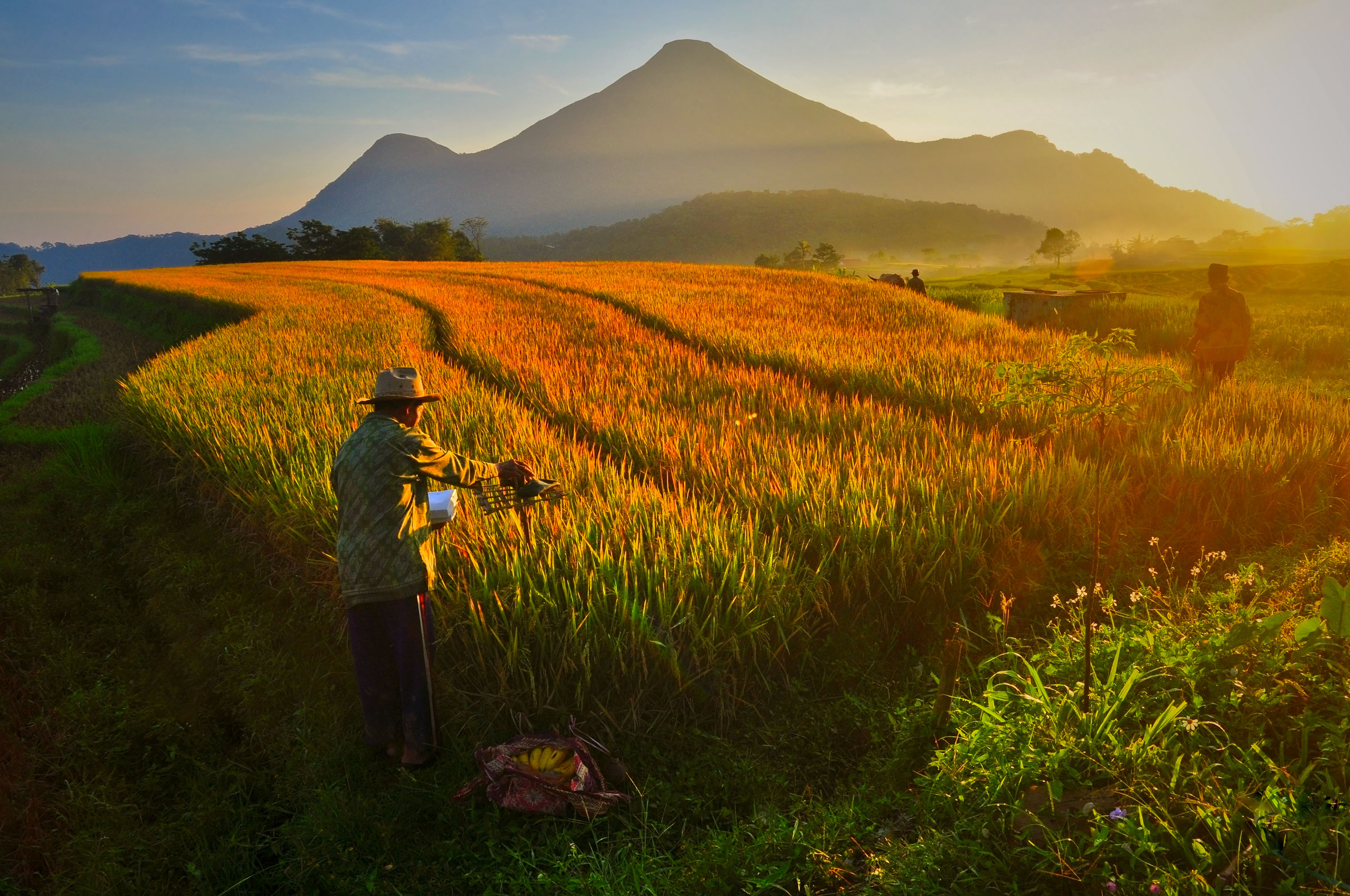
Penanggungan rises to 1,653 meters, modest by Javanese standards but striking in its isolation from the surrounding lowlands. A ring of sub-peaks circles the main summit: Mount Wangi at 970 meters, Puncak Kemuncup at 1,200 meters on the eastern face, Puncak Sarah Klopo and Puncak Awang-Awang on the southwestern slope, and Puncak Garuda Penanggungan at 1,520 meters to the south. Bayangan Hill, perched at 1,250 meters on the southern face, has become the mountain's most popular scenic viewpoint. The peak straddles two regencies -- Mojokerto and Pasuruan -- and on a clear day, the skyline of Surabaya, Indonesia's second-largest city, is visible some 40 kilometers to the north. That proximity is part of the mountain's paradox: a landscape saturated with a thousand years of spiritual devotion, visible from the traffic jams and shopping malls of a modern metropolis.
From the Air
Located at 7.62S, 112.63E, Mount Penanggungan rises to 1,653 meters (5,423 feet) approximately 40 km south of Surabaya. Nearest major airport is Juanda International (WARR/SUB) in Sidoarjo, roughly 30 km to the northeast. The volcano's symmetrical cone with four subsidiary peaks is distinctive from altitude. Best viewed from 5,000-8,000 feet approaching from the north, where the Surabaya coastal plain provides contrast. The larger Arjuno-Welirang volcanic complex rises immediately to the south, providing dramatic backdrop. Clear morning conditions typical; afternoon cloud buildup common in tropical volcanic terrain.