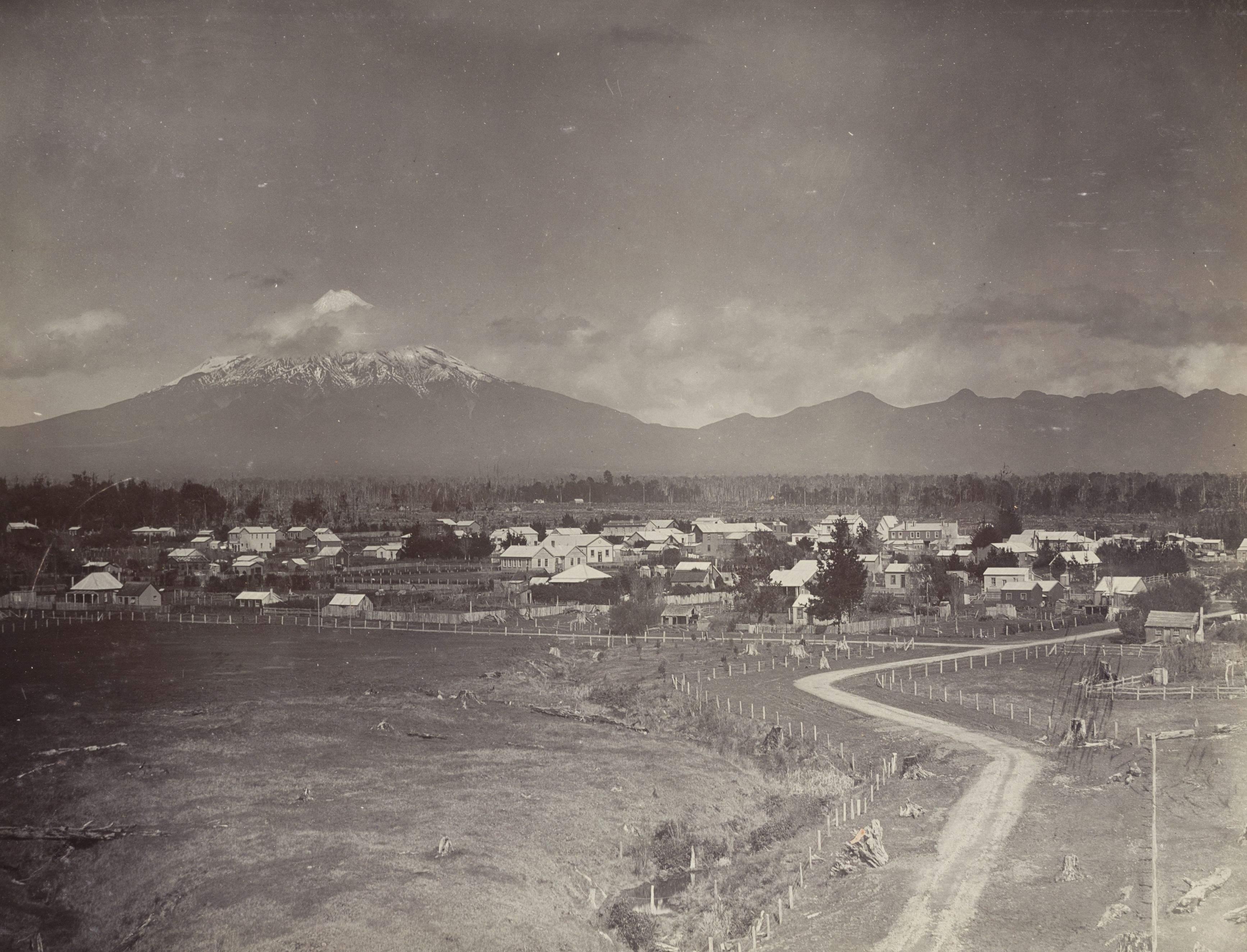
Mount Taranaki
In Maori legend, this mountain once lived among the volcanoes of the central North Island. Taranaki fell in love with Pihanga, a forested peak already claimed by the warrior volcano Tongariro. The two fought, and Taranaki lost. He fled westward, carving the Whanganui River as he went, and came to rest alone on the coast where he stands today, cloaked in cloud and snow, 2,518 meters above the Tasman Sea. It is one of the most symmetrical volcanic cones on Earth, and from the air the mountain's loneliness is literal: a perfect circle of dark green forest surrounded on all sides by bright green farmland, the national park boundary visible from space as sharply as a line drawn with a compass.
A Mountain of Many Names
Captain Cook spotted the peak on 11 January 1770 and named it Mount Egmont after John Perceval, 2nd Earl of Egmont, a former First Lord of the Admiralty. He described it as 'of a prodigious height and its top cover'd with everlasting snow.' Two years later, the French explorer Marc-Joseph Marion du Fresne saw the same mountain and named it Pic Mascarin, unaware Cook had been there first. But the mountain already had names far older. In the Maori language, tara means mountain peak and naki likely derives from ngaki, meaning clear of vegetation. The people of the region also knew it as Pukehaupapa, 'ice mountain.' For decades the colonial name dominated maps, until 1986 when it officially became 'Mount Taranaki or Mount Egmont.' In 2025, the colonial name was dropped entirely. The mountain is now Taranaki Maunga, and it is a legal person, granted the same rights as a human being under a Treaty of Waitangi settlement with the region's iwi.
Fire Beneath the Snow
Taranaki is classified as dormant, not extinct, and the distinction matters. Over the last 9,000 years, minor eruptions have occurred roughly every 90 years on average, with major eruptions every 500 years. The last significant eruption was around 1655, and a moderate ash eruption occurred about 1755. By any measure, the mountain is overdue. The volcano sits in the Taranaki Basin, part of a volcanic lineament that has been migrating southward at about three centimeters per year for the last 1.75 million years. The oldest remnants of this volcanic chain are not on the mountain at all but offshore: Paritutu Rock and the Sugar Loaf Islands near New Plymouth's harbour, lava plugs dated to 1.75 million years ago. Between the ancient coast and the current summit, the Kaitake Range marks where volcanism stood 500,000 years ago. Taranaki itself is geologically young, having begun activity around 200,000 years ago. Its secondary cone, Fanthams Peak, rises to 1,966 meters on the south side.
The Green Circle
From a satellite, the most striking feature is the forest. The national park, Te Papa-Kura-o-Taranaki, forms an almost perfect circle around the summit, its boundary drawn at a 9.9-kilometer radius from the peak. Inside that radius: temperate rainforest, alpine shrubland, tussock, and ice. Outside: dairy farms. The contrast is so sharp it has become an iconic example of how park boundaries shape landscapes. Within the forest, the ecology changes dramatically with altitude. Northern rata, rimu, and broadleaf trees dominate the lower slopes, giving way to stunted kamahi at higher elevations, then subalpine scrub, then bare rock and permanent ice. The park shelters North Island brown kiwi, blue duck, and fernbird. In 2022 it became the first national park in New Zealand declared free of feral goats, having already eliminated pigs and deer.
Climbing Sacred Ground
Over 20,000 people attempt the summit each year, making Taranaki one of the most climbed mountains in New Zealand. The standard route from North Egmont Visitor Centre is an eight- to ten-hour round trip that crosses from forest to scree to ice. Crampons and an ice axe may be needed year-round, because the summit crater holds permanent ice. The mountain has claimed lives: conditions change rapidly, and the symmetrical slopes that look gentle from a distance steepen brutally near the top. But the summit carries a weight beyond physical danger. For Maori, the very peak of Taranaki is sacred, and climbing to the highest point is considered culturally offensive. Some climbers stop short of the true summit out of respect. The Pouakai Crossing, a newer track on the neighbouring Pouakai Range, offers views of the mountain reflected in alpine tarns without the ethical complexity of standing on the peak itself.
A Person, Not a Thing
In January 2025, Taranaki Maunga became a legal person under New Zealand law, following a Treaty of Waitangi settlement with Nga Iwi o Taranaki, the region's eight iwi. The mountain now owns itself. A governance body called Te Topuni Kokorangi, composed equally of iwi and Crown representatives, manages the park on the mountain's behalf. The settlement also renamed both the mountain and the national park, stripping away the Egmont name that had lingered since Cook's visit 255 years earlier. For the iwi who trace their ancestry to Rua Taranaki, the mountain's founding ancestor, the change was a restoration rather than a renaming. The mountain had always been Taranaki. Now the law agreed.
From the Air
Taranaki Maunga (39.30S, 174.06E) rises to 2,518 m (8,261 ft) on the west coast of New Zealand's North Island. The nearest airport is New Plymouth (NZNP), 25 km to the north. The volcanic cone is unmistakable from cruising altitude: a symmetrical peak surrounded by a near-perfect circle of dark forest against bright green farmland. The secondary cone Fanthams Peak (1,966 m) is visible on the south flank. Approach from the west over the Tasman Sea for the most dramatic perspective. Mountain weather is notoriously changeable; orographic cloud frequently caps the summit even on otherwise clear days. The Pouakai Range extends to the northwest.