Mountain Iron, Minnesota
On November 16, 1890, a prospector named J. A. Nichols, working for the Merritt brothers of Duluth, made the discovery that would reshape northeastern Minnesota and, eventually, American industry. He found iron ore north of what would become Mountain Iron, confirming what the Ojibwe had long known about the land they called Misaabe-wajiw -- Giant Mountain. Within two years, a mining village had sprung up in Nichols Township, named for the nearby Mountain Iron Mine. Today, with a population of 2,878, the city calls itself the 'Taconite Capital of the World,' a title backed by the massive Minntac mine and processing facility operated by United States Steel within its borders. It is one of Minnesota's Iron Range Quad Cities, alongside Virginia, Eveleth, and Gilbert, and it remains what it has always been: a place where the earth's deep geology determines the rhythm of daily life.
Where the Iron Age Began
Mountain Iron's founding story is inseparable from the broader Mesabi Range discovery. The Merritt brothers -- a family of Duluth prospectors who had spent years searching for iron in northeastern Minnesota -- sent J. A. Nichols to investigate the area in 1890. What he found was extraordinary: iron ore deposits lying so close to the surface that they could be extracted from open pits rather than deep underground shafts. By 1892, a mining village had been established in the former Nichols Township, taking its name from the Mountain Iron Mine. The town grew as immigrant workers from Finland, Germany, Italy, Norway, Sweden, and Slovenia arrived to work the pits. Finnish settlers were particularly numerous, making up more than a quarter of the population by the 2000 census. Mountain Iron was not incorporated as a city until 1972, having spent its first eight decades as a village -- a reflection of the Iron Range's tendency to grow organically around mines rather than by formal planning.
Minntac and the Taconite Revolution
The city's claim to being the Taconite Capital of the World rests on Minntac, one of the largest taconite mining and processing operations in the United States. Owned and operated by U.S. Steel, Minntac extracts low-grade taconite ore from the Biwabik Iron Formation, crushes it, concentrates the iron content using magnetic separation, and forms it into pellets suitable for blast furnaces. This process was the salvation of the Iron Range. By the mid-20th century, the high-grade direct-shipping ores that had made the Mesabi famous were largely exhausted. The development of taconite processing technology, championed by University of Minnesota researcher Edward Davis, allowed the region to continue producing iron ore from rock that earlier generations had discarded as waste. Minntac's output feeds steel mills across the Great Lakes region, with pellets shipped by rail to Duluth and then by lake freighter to Indiana and Ohio.
A Mosaic of Old World Roots
Like its Quad Cities neighbors, Mountain Iron's identity was shaped by successive waves of European immigration. The 2000 census recorded ancestry patterns that read like a map of northern and southern Europe: 27.3 percent Finnish, 11.2 percent German, 9.8 percent Italian, 8.8 percent Norwegian, 6.1 percent Swedish, and 5.1 percent Slovene. These communities brought their churches, their foods, their labor traditions, and their attitudes toward work and solidarity. The Finnish influence was especially strong -- Finnish halls, saunas, and cooperative traditions became fixtures of Iron Range social life. Mountain Iron's immigrant heritage connects it to a broader story of industrial America: the waves of people who left European farms and villages to dig ore, pour steel, and build the infrastructure of a growing nation. That heritage is still visible in local surnames, ethnic festivals, and the strong sense of community identity that defines small Iron Range towns.
Life Between the Pits
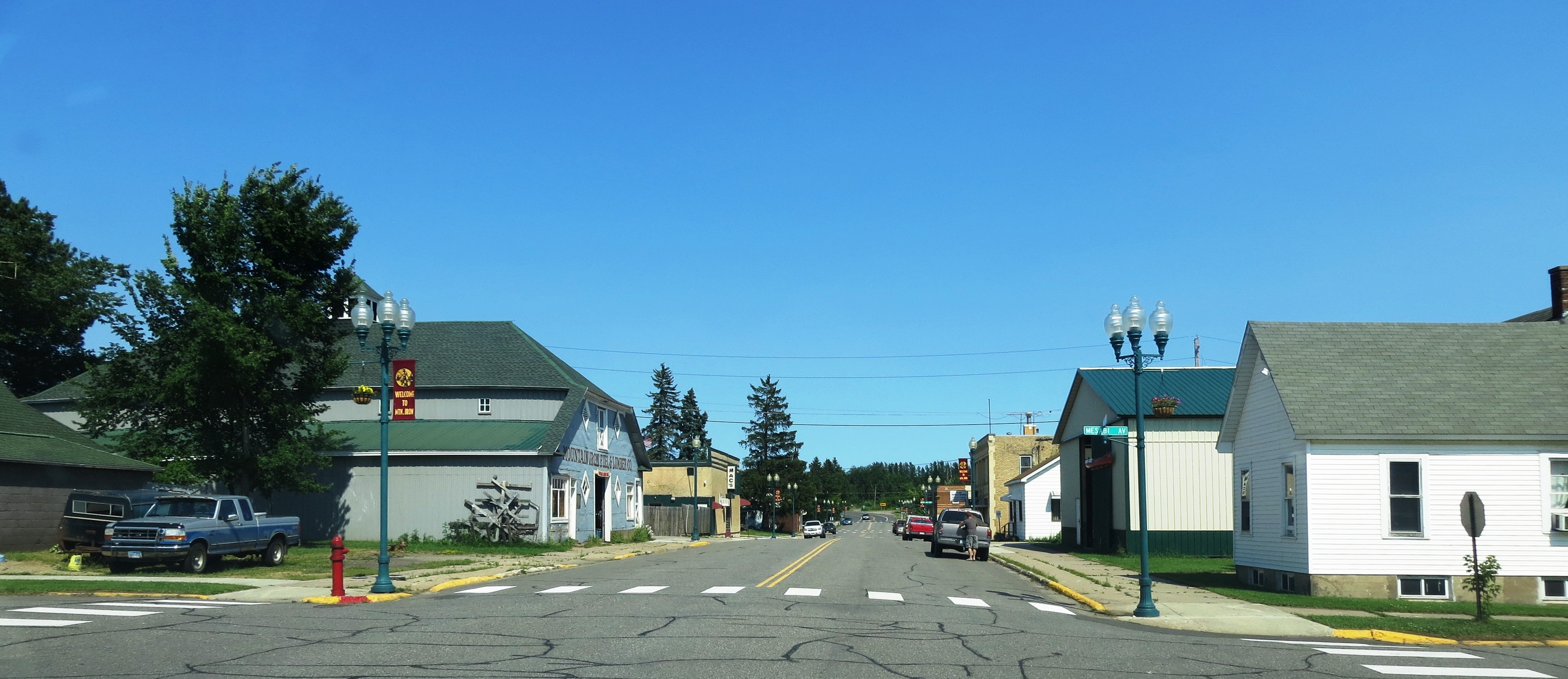
Mountain Iron today is a quiet city of about 2,900 people served by U.S. Highway 169. The landscape around it bears the unmistakable marks of more than a century of mining: open pits, tailings ponds, and processing facilities punctuate the boreal forest of birch, aspen, and pine. The city shares services and a regional identity with Virginia, Eveleth, and Gilbert as part of the Quad Cities. Like much of the Iron Range, Mountain Iron faces the challenge of sustaining a community built around a single industry as that industry evolves. The median age has crept upward -- 45.4 years in 2010 -- and the population has declined gradually from 2,999 in 2000 to 2,878 in 2020. But Minntac still operates, the ore trains still roll, and the city's self-chosen title still holds. In a region where towns have risen and fallen with the price of iron, Mountain Iron has endured by remaining close to what brought it into being: the ore that lies just below the surface, waiting to be turned into steel.
From the Air
Located at 47.53°N, 92.62°W in northeastern Minnesota's Mesabi Range at approximately 1,500 feet MSL. The Minntac taconite processing facility, one of the largest in the United States, is clearly visible from altitude as a large industrial complex with associated tailings ponds and rail infrastructure on the south side of town. Open-pit mines and water-filled former pits are scattered across the surrounding landscape. Mountain Iron is part of the Quad Cities cluster -- Virginia, Eveleth, and Gilbert are all within a few miles. The Eveleth-Virginia Municipal Airport (KEVM) is the nearest general aviation field, about 5 miles east. Range Regional Airport (KHIB) in Hibbing offers commercial service about 15 miles west. The terrain is flat to gently rolling boreal forest punctuated by lakes and mine features. Best viewed at 3,000-6,000 feet AGL to see the relationship between the town and its surrounding mining operations.