Mule Hill
Four days after the bloodiest battle of the California conquest, General Stephen Kearny's battered troops were running out of options — and food. The Californio lancers had driven them back, surrounded them on a small rise in San Pasqual Valley, and simply waited. Kearny's men slaughtered their mules to survive. The hill they occupied ever since has carried that unglamorous memory in its name.
The Battle That Came Before
On December 6, 1846, the Battle of San Pasqual unfolded five miles to the east — the deadliest engagement of the Mexican-American War in California. General Kearny led his Army of the West toward San Diego, expecting minimal resistance. The Californio horsemen under General Andres Pico shredded that expectation. Lances cut through exhausted American soldiers before most could raise their weapons. When the smoke cleared, Kearny had lost eighteen men killed and thirteen wounded. He himself was injured. The survivors limped west and took Mule Hill.
A Siege on a Small Rise
The Californio forces surrounded Mule Hill and held the Americans there from December 7 through December 11. Captain Turner ordered Lieutenant William H. Emory and a squad of dragoons to attack the Californio lancers commanded by Leonardo Cota, and five of Cota's men died in that assault — but the siege held. Without resupply, Kearny's troops ate the only food available. Horses went first, then mules. The hill had no other name to offer, so it took the one that fit. Kit Carson and two others eventually slipped through enemy lines to bring rescue from San Diego.
What Remains
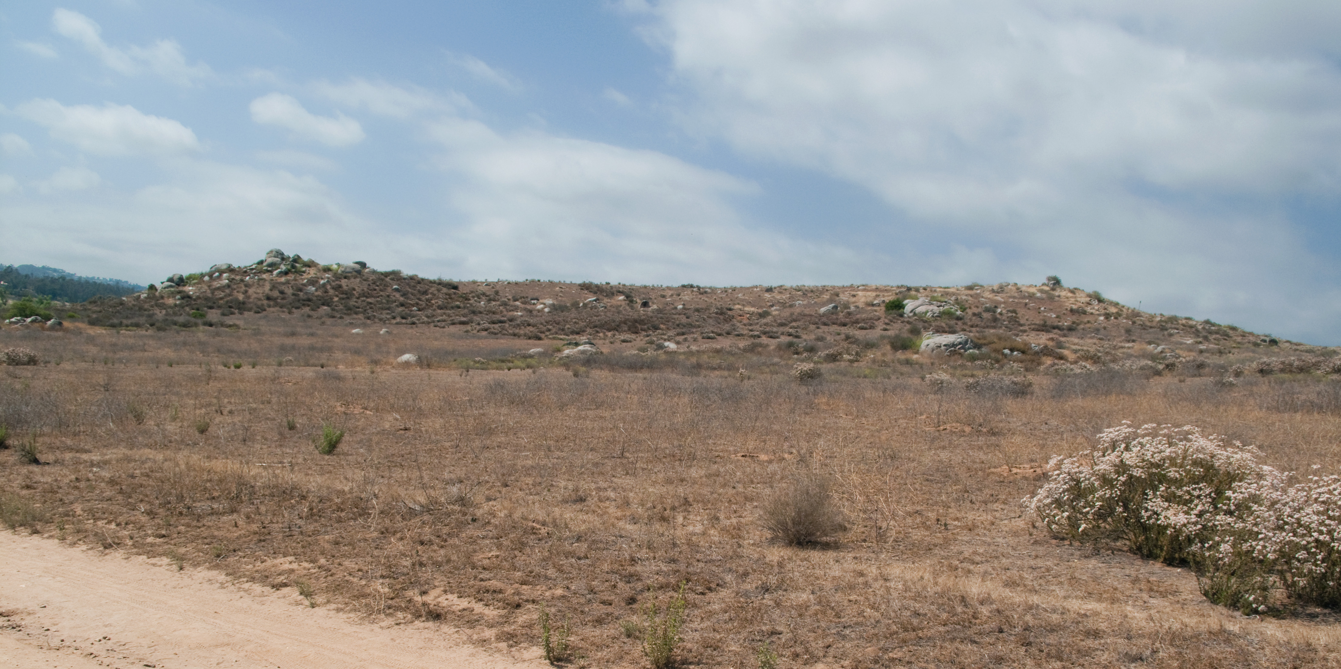
California Historical Landmark No. 452 was officially listed on November 2, 1949. The California Centennial Commission placed a historical marker in 1950 on the northern side of Pomerado Road near the hill's location. That marker now stands just before the northbound on-ramp of Interstate 15 — drivers pass the spot daily without a glance, though the freeway itself runs through a valley that once determined the outcome of a war. The hill is low, unremarkable in appearance, precisely the kind of place where history settles when it has nowhere more dramatic to go.
The Larger Story
Mule Hill is inseparable from the sequence of events that transferred California from Mexico to the United States. Kearny's relief and eventual success in capturing San Diego helped secure American control over the territory. The Treaty of Guadalupe Hidalgo followed in 1848. Yet the Californios who fought here were defending their homeland with discipline and courage — men like Andres Pico and Leonardo Cota were not vanquished at San Pasqual. They won that day. Their story is as much a part of this valley as the American marker that now commemorates the hill.
From the Air
Mule Hill sits in San Pasqual Valley at approximately 33.055°N, 117.069°W. Flying southbound on the I-15 corridor, the hill is a subtle rise in the valley floor west of the San Diego Zoo Safari Park. Best viewed at 2,000-3,000 ft AGL in clear conditions. Nearest airports: KSAN (San Diego International, ~25 nm SW), KMYF (Montgomery Field, ~15 nm SW).