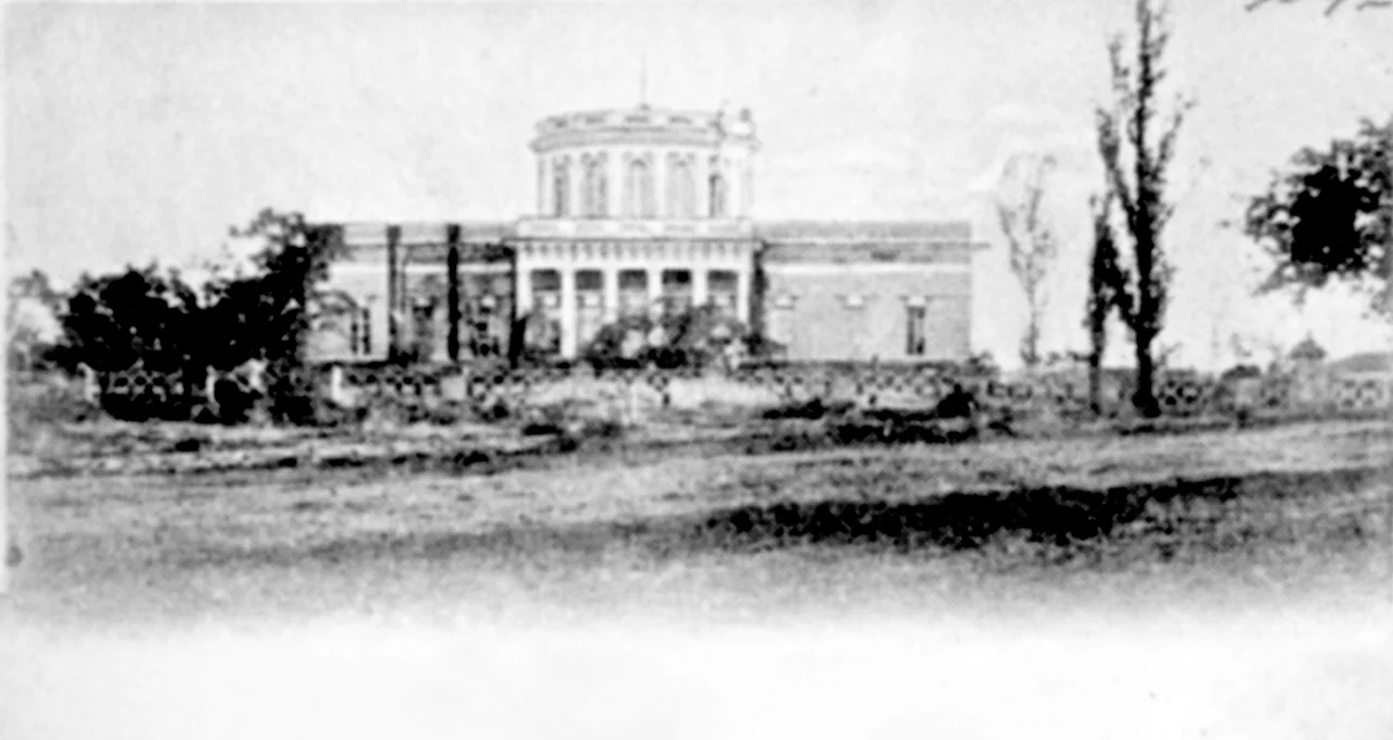

Mykolaiv Observatory
In the early nineteenth century, a ship far out on the Black Sea had only one reliable way to know where it was: the stars, and an accurate clock. So in 1821, Admiral Aleksey Greig founded an observatory on the highest point in Mykolaiv, the top of Spassky Hill, not to chase distant galaxies but to serve the Black Sea Fleet with something intensely practical, precise time, accurate charts, and officers trained to navigate by the heavens. Two hundred years later that same observatory still stands on its hill, one of the oldest scientific institutions in Ukraine and a name on the UNESCO tentative list of World Heritage sites, having quietly turned the discipline of finding ships at sea into the science of mapping the cosmos.
The Astronomer Who Stayed Fifty Years
The observatory's first director, Karl Friedrich Knorre, arrived on the recommendation of the great astronomer Vasily Struve and then never really left, holding the post for fifty years. Alongside training naval officers, Knorre pursued real research, and he is remembered in the history of astronomy as the author of one sheet of the Berlin Academy's star map, a chart so accurate that other astronomers used it to identify the minor planets Astraea and Flora against the fixed background of stars. His successor, Ivan Kortazzi, catalogued a band of the sky that came to be called the Nikolaev Zone. In these marine decades, both men also went to sea, surveying the coasts and pinning down the exact coordinates of countless points on the maps of the Azov, Black, and Marmara Seas, work on which lives depended.
Surviving the Century of Storms
From 1912 the observatory became a southern branch of the famous Pulkovo Observatory, and its task expanded to extending Pulkovo's great star catalogues into the southern sky. What followed was a test not of instruments but of endurance. The institution survived the First World War, the Russian Revolution, and the Civil War as a working scientific body, held together by directors who refused to let it collapse. In 1931 it created a highly accurate Time Service that fed national and international efforts to pin down the exact hour. During the Second World War the observatory was under German occupation from 1941 to 1944, and its director managed to shepherd it through without serious destruction, an achievement that let the science resume almost as soon as the war ended.
From Meridian Circles to Robotic Eyes
In the postwar decades the observatory received precision instruments from Pulkovo, including a meridian circle and a zonal astrograph from the Carl Zeiss firm, and its photographic observations of solar system bodies became among the most accurate in the world. It tracked the first artificial satellites, mounted expeditions to the Caucasus and the Arctic island of Spitsbergen, and produced roughly thirty-five separate catalogues of celestial positions. In 1992 it became an independent institution, and it has since built automated telescopes with electronic detectors, a Fast Robotic Telescope, and in 2009 Ukraine's first mobile telescope. Protected as a heritage building since 1963, the observatory on Spassky Hill remains what it has always been, a place where the patient measurement of stars serves the very real business of knowing exactly where and when we are.
From the Air
The observatory sits on Spassky Hill, the highest point in Mykolaiv, at about 46.97 degrees north, 31.97 degrees east, roughly 52 meters above the surrounding city. From the air the wooded hilltop compound stands out above the urban grid near the Southern Bug. Nearest airport is Mykolaiv International (UKON) to the north; Kherson (UKOH) and Odesa International (UKOO) lie further along the coast. Clear, dark skies away from city lights favor viewing.
Nearby Stories
- Pontic Olbia 9.1 km away
- Yelanets Steppe Nature Reserve 40 km away
- Kuialnyk Estuary 45 km away
- Granite-Steppe Lands of Buh 70 km away
- Vorontsov Lighthouse 71 km away
- Skadovsk 84 km away
- Church of the Nativity of the Theotokos 102 km away
- Dzharylhach 115 km away