Nagae-Sakurayama Kofun Cluster
A cell phone tower almost buried the evidence for good. In March 1999, construction crews clearing trees on a forested hill between the cities of Zushi and Hayama, on Kanagawa Prefecture's Miura Peninsula, exposed fragments of haniwa -- distinctive terracotta figures that the Japanese placed on burial mounds during the Kofun period, roughly 1,700 years ago. Local archaeologists had suspected something lay beneath this hilltop since 1994, when they noticed a telltale shape on topographical maps. But it took the accidental scraping of a bulldozer to confirm what the maps hinted at: two enormous keyhole-shaped tombs, the only ones ever found on the Miura Peninsula, and the largest in all of Kanagawa Prefecture.
Keyholes in the Hillside
The distinctive kofun form -- called zenpō-kōen-fun in Japanese -- looks from the air like an old-fashioned keyhole: a circular mound joined to a rectangular platform. These were the tombs of the powerful, and their size signaled the authority of whoever lay within. Nagae-Sakurayama No. 1 sits at an elevation of 127 meters on the inland side of the hill, about a kilometer from the coast. It measures 91.3 meters in total length, with a rear circular portion 52 meters across and 7 meters high. The builders carved into the bedrock itself, then raised embankments in three tiers for the round section and two tiers for the rectangular front. At the center of the circular mound, a seven-meter-long burial chamber once held a clay-covered wooden casket. No grave goods were ever recovered -- whoever this ruler was, they took their secrets with them.
The Second Discovery
The first tomb's discovery triggered a search. Within months, archaeologists identified a second keyhole-shaped kofun on the same hill, about 500 meters to the west, at an elevation of 101.5 meters, this one facing the coast. Nagae-Sakurayama No. 2 measures 88 meters long, slightly smaller than its sibling but with a taller rectangular section at 8.7 meters. Unlike the first tomb, this one was covered in fukiishi -- decorative stones layered over the mound's surface. The lower portions were clad in yellow mudstone carried up from the coast, still bearing traces of marine organisms. The white sandstone on the upper sections came from farther afield, transported from the Sagami River or the Tama River. Someone went to considerable effort to make this tomb impressive to those approaching from the sea.
A Crossroads, Not a Dead End
The Miura Peninsula looks like a geographic cul-de-sac on a modern map, jutting south into Sagami Bay with no obvious through-route. But in the 4th century, when these tombs were built, the peninsula was anything but isolated. Until the Nara period, the ancient Tokaido highway -- Japan's great coastal road -- ran through this area. According to the Kojiki, Japan's oldest chronicle, the semi-legendary hero Yamato Takeru traveled this very route on his way to cross into the Boso Peninsula across the bay. The presence of two monumental keyhole tombs here -- a burial form associated with the Yamato court and central Japan's Kinai region -- points to a powerful local clan with strong ties to the political heartland. This was not a backwater. It was a gateway.
Saved from the Tower
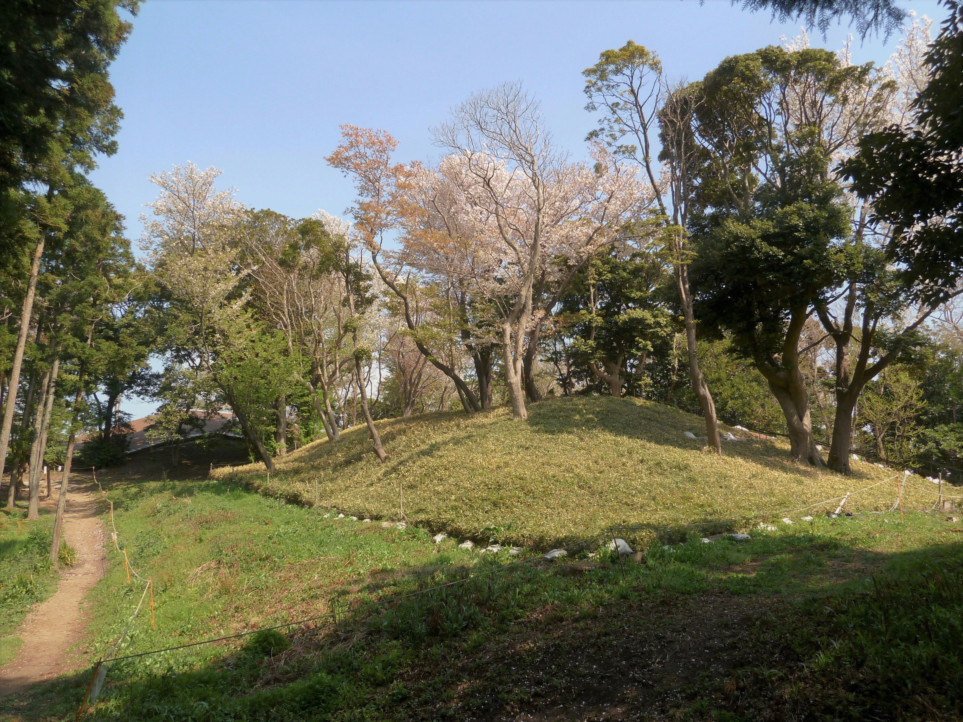
The cell tower that almost destroyed Kofun No. 1 was never built. Construction was halted immediately after the haniwa fragments surfaced, and both pot-shaped and cylindrical haniwa, along with Haji ware pottery shards, were recovered from the site. In 2002, both tombs were designated a National Historic Site of Japan. Today the mounds are part of a local hiking course, accessible by a five-minute walk from the Hasakura bus stop, reached via Keikyu bus from Zushi Station on the JR Yokosuka Line. Hayama Town and Zushi City cooperate to maintain the forested hilltop site, where the tombs remain largely unexcavated and overgrown, their keyhole shapes visible only to those who know to look -- or who happen to glance at a topographical map.
From the Air
Located at 35.287N, 139.585E on the hills between Zushi and Hayama on the Miura Peninsula, south of Yokohama. The two keyhole-shaped kofun sit on a forested hilltop about 1km from the coast of Sagami Bay. From the air the tombs are obscured by tree cover, but the hilltop at 127m elevation is a recognizable feature between the two coastal towns. Nearest airports: Tokyo Haneda (RJTT) approximately 30nm north, Atsugi Naval Air Facility (RJTA) approximately 15nm northwest. The Miura Peninsula's coastline and Sagami Bay provide good visual reference. Best viewed in winter when deciduous tree cover thins.