Nagaland
Fifteen distinct ethnic groups, each with its own language, its own traditions, its own way of wrestling. The Angami, the Ao, the Konyak, the Sümi, and eleven others share a small, mountainous state wedged between Myanmar and the rest of India, yet they have never shared a single common tongue. Instead, they communicate through Nagamese, a creole born from Assamese, or through English, which the Nagaland Assembly declared the official state language in 1967. This linguistic patchwork reflects something deeper: Nagaland is not one culture wearing a single mask, but a federation of peoples who chose statehood together while insisting on remaining themselves.
From Headhunters to Hymn Singers
The transformation is among the most dramatic cultural shifts in modern Asian history. When American Baptist missionaries arrived in the mid-19th century, the Naga peoples practiced animism, headhunting, and elaborate Feasts of Merit where social status was won through warrior prowess or lavish hospitality. Today, 88% of Nagaland's roughly 2 million people are Christian, making it the most predominantly Baptist state in the world. The conversion was not imposed by colonial fiat but spread through mission schools and the adoption of English as a unifying educational language. Yet the old ways persist in echoes: the Hornbill Festival, launched in 2000 at Kisama Heritage Village near Kohima, celebrates traditional arts, Naga wrestling (called kene), fire-eating demonstrations by the Konyak, and the King Chilli eating competition featuring the legendarily fierce Naga Mircha, one of the world's hottest peppers and Nagaland's first product to earn a Geographical Indication tag in 2008.
A Mosaic of Voices
The 2011 census recorded a staggering variety of languages across this state of just two million people. Konyak leads with 244,135 speakers, followed closely by Ao at 231,084, Lotha at 177,488, and Angami at 151,883. The languages belong to the Sino-Tibetan family, and each carries centuries of distinct literary and oral tradition. Beyond the Naga languages, Bengali, Nepali, and Assamese speakers form significant minorities, concentrated mainly around Dimapur, the commercial hub on the plains. Nagamese, the creole lingua franca, knits daily commerce together, while English serves as the medium of education from primary school onward. The result is a population where multilingualism is not exceptional but expected, where a market vendor in Dimapur might shift between four languages in a single morning.
The Land of Festivals
Nagaland earns its nickname honestly. Each of the major ethnic groups celebrates its own agricultural festival tied to the rhythms of planting and harvest, and the Christian calendar adds Christmas, Easter, and a host of observances on top. The Hornbill Festival, held every December, draws all the threads together. Named for the great hornbill bird that appears in the folklore of nearly every Naga group, the week-long gathering at Kisama Heritage Village features traditional Morung exhibitions, archery competitions, wood carvings, and musical concerts that range from ancient choral traditions to a national rock contest. The Sümi practice Aki Kiti, a combat sport where opponents kick and block using only the soles of their feet, a method of settling disputes without resorting to weapons. Naga wrestling follows its own ancient rules. These are not museum recreations but living traditions practiced by communities that see no contradiction between Sunday church services and Saturday wrestling matches.
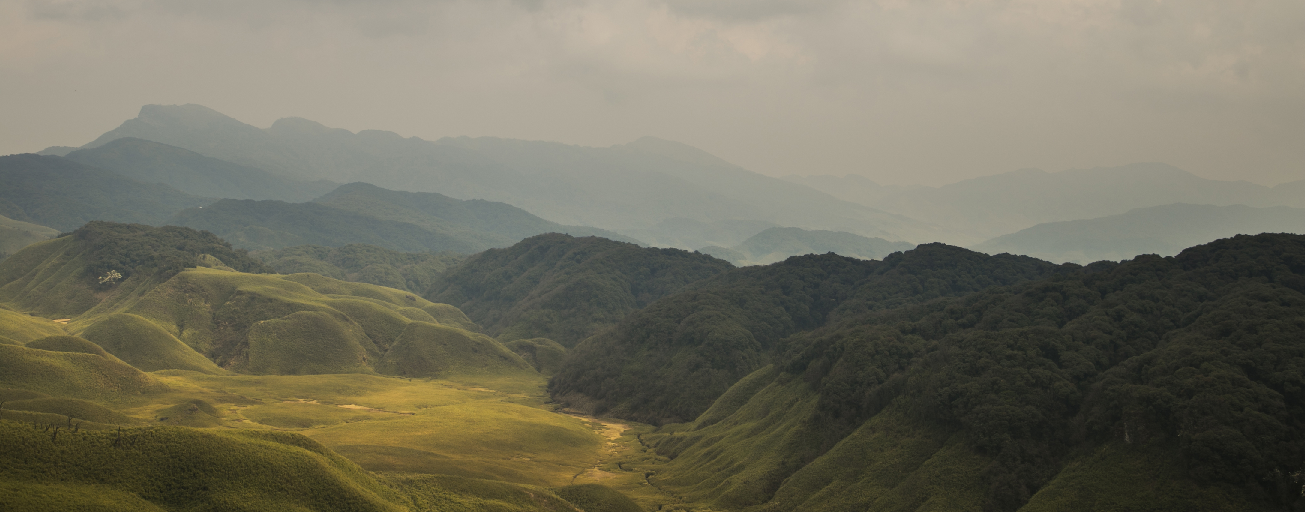
Terraced Hills and Traded Rice
From the air, Nagaland's defining features are its hills and the terraces cut into them. About 80% of the state's cropped area grows rice, the staple food, using a mix of ancient jhum (slash-and-burn shifting cultivation) and more modern terraced farming. The jhum-to-terrace ratio stands at roughly 4:3, meaning traditional methods still dominate despite their toll on soil and forests. The state does not produce enough food to feed itself and imports from neighboring states. Coffee, cardamom, and tea grow in small quantities in the highlands, with significant potential for expansion. Dimapur and Kohima, the two largest urban centers with populations of roughly 123,000 and 115,000 respectively, anchor opposite ends of the state's economy: Dimapur as the commercial gateway on the plains, Kohima as the administrative capital perched in the hills at an elevation that keeps summers bearable and winters sharp.
Quiet Indicators of Progress
Nagaland's health statistics tell a surprising story. Life expectancy stands at 75.4 years, the best among all Indian states, with women averaging nearly 80 years. The infant mortality rate of 3 per 1,000 births matches the most developed countries on earth. The fertility rate of 1.7 children per woman sits below the population replacement level, making Nagaland the only Indian state to show a population decline between the 2001 and 2011 censuses, though scholars attribute part of that anomaly to overcounting in earlier surveys. Literacy reaches 80.1%, and English-medium education gives graduates access to national and international opportunities. These numbers emerge from a state that generates only a fraction of the electricity it needs and whose roads buckle under monsoon rains. The gap between Nagaland's human development and its infrastructure tells the story of a people who invested in their children first.
From the Air
Located at approximately 26.23°N, 94.65°E in northeast India, between Myanmar and Assam. The terrain is extremely mountainous with elevations ranging from the plains around Dimapur (~200 m) to peaks exceeding 3,000 m. Nearest major airport is Dimapur (VEDZ), with a 2,290-meter asphalt runway at 487 feet elevation. Kohima, the capital, is 70 km southeast of Dimapur. The state stretches roughly 160 km north-south. Monsoon season (May-September) brings heavy cloud cover and reduced visibility. The Hornbill Festival at Kisama Heritage Village (12 km south of Kohima) is visible as a clearing in December.