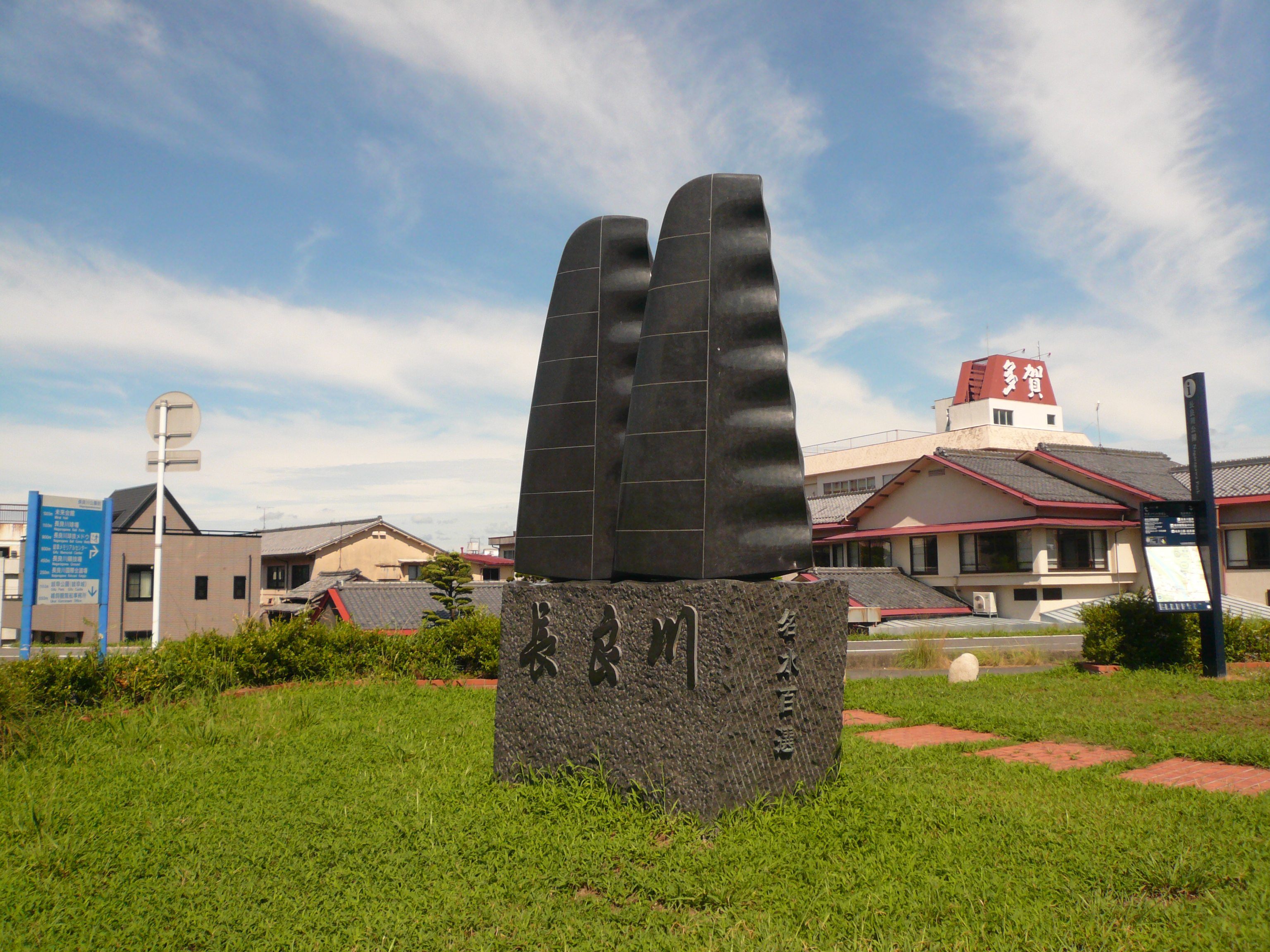
Nagara River
On summer nights along the Nagara River, the darkness breaks open with fire. Wooden boats drift downstream carrying blazing iron baskets that throw orange light across the water's surface, and cormorant masters in traditional dress work their birds on long leashes, pulling sweetfish from the current just as their predecessors did thirteen centuries ago. This is ukai, the ancient art of cormorant fishing, and the Nagara River is its most sacred stage. Flowing 166 kilometers from the mountain city of Gujo in Gifu Prefecture to Ise Bay at Kuwana in Mie Prefecture, this waterway earned its place among Japan's Three Clear-Flowing Rivers not just for its crystalline waters but for the living traditions that still pulse along its banks.
Imperial Waters
Cormorant fishing happens at thirteen locations across Japan, but only the masters on the Nagara River hold the title of Imperial Fishermen of the Household Agency. Since 1890, when the Governor of Gifu Prefecture petitioned the Imperial Household Ministry, six fishing masters in the Furutsu district have conducted Goryo Ukai -- imperial cormorant fishing -- eight times each year. The title is hereditary, passed from father to son, and earning the rank of Usho requires at least a decade of apprenticeship. Each master commands ten to twelve birds on individual leashes, guiding them through firelit waters to catch ayu, the prized sweetfish that thrives in the Nagara's clean currents. The tradition stretches back over 1,300 years, making it one of the oldest continuously practiced fishing methods in the world.
A River Reshaped
The Nagara is one of the Kiso Three Rivers that braid across the Nobi Plain, and its relationship with its neighbors -- the Kiso River and the Ibi River -- is a story of constant negotiation. Downstream, the three rivers converge and diverge repeatedly, tangling together before emptying into Ise Bay. Centuries of engineering have worked to keep them separate, channeling floodwaters and reclaiming land from the braided delta. In the heart of Gifu city, two minor tributaries once split from the Nagara's main channel until 1939 construction rerouted the flow entirely. The reclaimed land became the site of the Gifu Memorial Center, schools, and public buildings -- a modern city built on the bones of an older river course.
Clarity and Celebration
The Japanese government classifies the Nagara as a Class 1 river, and its reputation for purity runs deep. Alongside the Shimanto River in Kochi Prefecture and the Kakita River in Shizuoka Prefecture, it forms Japan's trio of clearest waterways. In 1985, the middle stretch earned a place on the list of Japan's 100 Famous Waters, and the river was recognized among the nation's top bathing areas in both 1988 and 2001. That clarity sustains more than ceremony -- it feeds the Nagaragawa Onsen, a cluster of natural hot springs near Gifu city renowned for their high iron content. Visitors soak in mineral-rich waters while looking out at the same river where cormorant boats will glide that evening.
From Mountain to Bay
The Nagara begins in the highlands of Gujo, a mountain town famous for its summer Bon Odori dance festival, where the river runs cold and narrow through forested gorges. As it descends through Mino and Seki -- a city legendary for its swordsmithing -- the valley opens. By the time the river reaches Gifu, it has become a broad, gentle waterway that defines the city's character. Past Mizuho and Ogaki, through the low-lying delta towns of Anpachi, Wanouchi, and Kaizu, the Nagara meanders toward its mouth at Kuwana on Ise Bay. Once known as the Sunomata River, it drains nearly 2,000 square kilometers of the Chubu region, passing through three prefectures -- Gifu, Aichi, and Mie -- before surrendering to the sea.
From the Air
The Nagara River (35.068N, 136.706E) traces a visible course across the Nobi Plain from the mountains north of Gifu to Ise Bay. At cruising altitude, the braided delta where the Nagara, Kiso, and Ibi rivers converge near Kuwana is a prominent landmark. The river corridor passes directly through Gifu city center. Nearest major airports: RJGG (Chubu Centrair International, 40 km south) and RJNA (Nagoya Airfield/Komaki, 25 km east). Best viewed at lower altitudes where the river's clarity contrasts with surrounding agricultural land.