Nami Island
To reach Nami Island, you must cross water. There is no bridge, no causeway -- only a five-minute ferry ride from the dock at Gapyeong. This small act of separation is deliberate. The island operates under the whimsical fiction of being the "Naminara Republic," complete with its own stamps, currency, and customs gate, a half-serious conceit that underscores what visitors sense the moment they step off the boat: ordinary rules loosen here. Tree-lined lanes arch overhead like cathedral naves, squirrels run unbothered across walking paths, and couples pose beneath the same row of birches where two fictional lovers once walked in the snow.
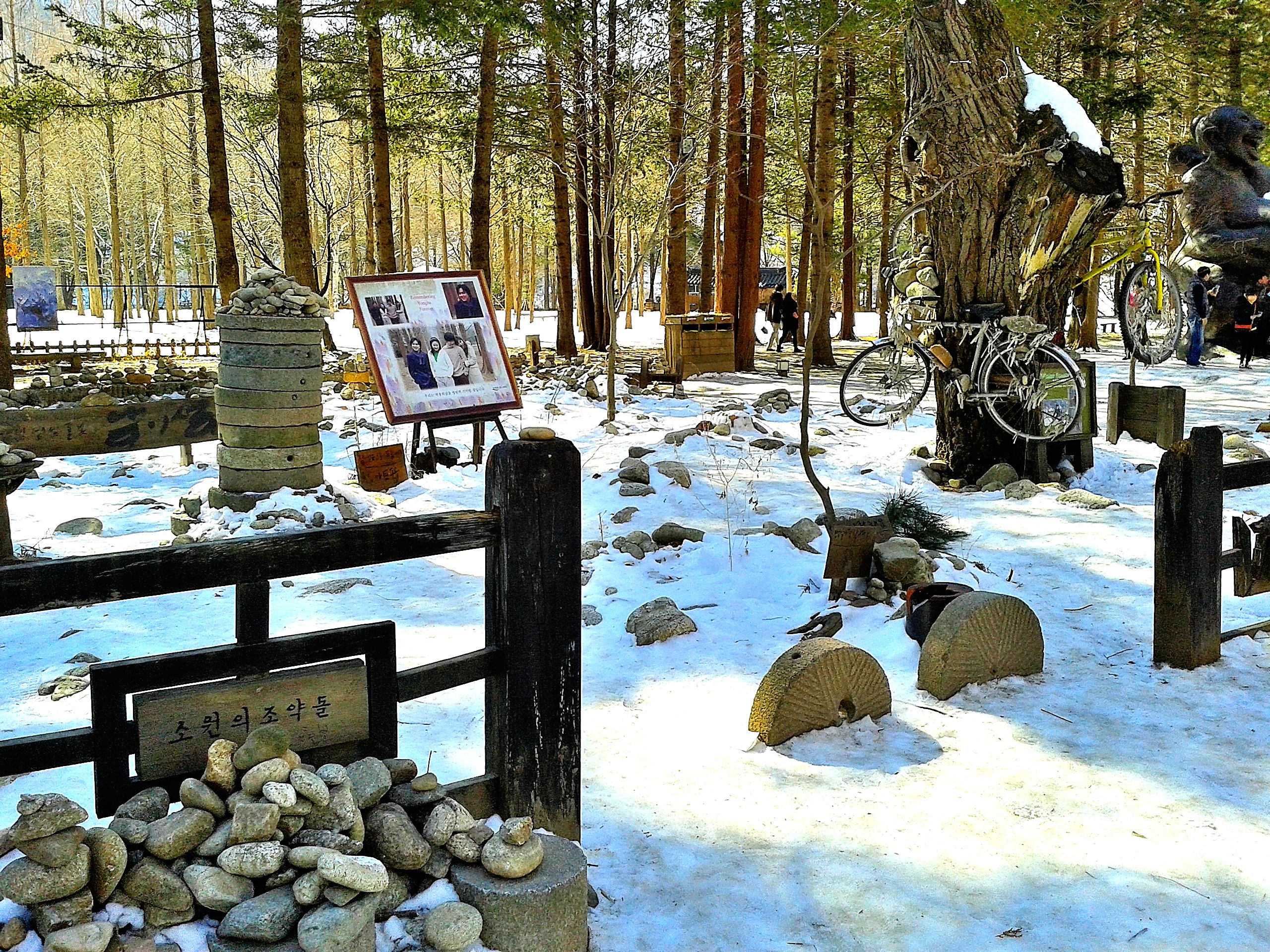
A General's Resting Place
The island takes its name from General Nami, a military figure from the early Joseon Dynasty who was executed for treason in the late 15th century. A pile of stones on the island's northern hill marks where he was said to be buried, though his actual tomb lies secretly at Namjeon-ri in Hwaseong-si -- during the Joseon Dynasty, descendants of those convicted of treason were forbidden from building proper mausoleums. A memorial stone was erected in 1965 to honor the general's spirit. The island itself was not always an island; it became permanently separated from the riverbank only in 1944, when the Japanese colonial government built Cheongpyeong Dam and the rising waters of the Bukhan River submerged the connecting lowland.
Winter Sonata's Spell
In the early 2000s, the Korean television drama Winter Sonata filmed key scenes on Nami Island, and the effect was seismic. The show became a cornerstone of the Korean Wave -- the Hallyu phenomenon that carried Korean culture across Asia and beyond. Fans from Japan, China, Southeast Asia, and eventually the world made pilgrimages to walk the island's tree-lined avenues, recreating scenes from the drama in every season. As of 2016, the island attracts 3.3 million visitors annually, including 1.3 million foreigners. It holds the distinction of drawing the largest number of foreign visitors of any single tourist destination in South Korea, a remarkable fact for a half-moon of land less than a kilometer across.
A Country Within a Country
The Naminara Republic concept extends beyond novelty. The island has cultivated an identity as a "Fairytale Country, Song Island," hosting cultural events, concerts, and exhibitions throughout the year. Visitors can buy annual "passports" for the republic. A Song Museum traces the history of Korean music, while a handicraft studio offers pottery and stamp-making workshops. Peacocks, ostriches, and rabbits roam the grounds freely, lending the atmosphere a gentle strangeness. The island is small enough to walk in half a day or cycle in less, with bicycle rentals and a small electric train connecting the wharf to the UNICEF Hall at the center. Restaurants serve Korean grills and halal-certified Asian cuisine, and teahouses overlook quiet gardens where the outside world feels comfortably distant.
Seasons on the River
Nami Island transforms with each season, and regular visitors time their trips accordingly. Spring brings cherry blossoms along the walking paths. Summer fills the canopy with dense green shade. Autumn turns the island's famous metasequoia lane into a corridor of gold and amber. Winter, the season that made the island famous, lays snow over the birch-lined boulevards and gives the landscape the quiet, melancholy beauty that drew television cameras here in the first place. From the southern observation platform at Changgyeongdae, the surrounding mountains fold into the river in every season, reminding visitors that this small island sits within a much larger landscape -- the same mountains that ring Gapyeong, the same river that flows from the highlands of Gangwon Province toward the capital.
From the Air
Located at 37.79N, 127.53E in the Bukhan River in Gapyeong-gun, Gyeonggi Province. The island is a distinctive half-moon shape visible in the river, approximately 60 km northeast of Seoul. The Cheongpyeong Dam is visible upstream. Surrounding terrain is mountainous with the river valley cutting through green hills. Nearest major airport is Gimpo International (RKSS) to the southwest or Yangyang International (RKNY) to the east. Look for the ferry dock on the south bank and the tree-lined avenues crossing the island.