Narnala Fort
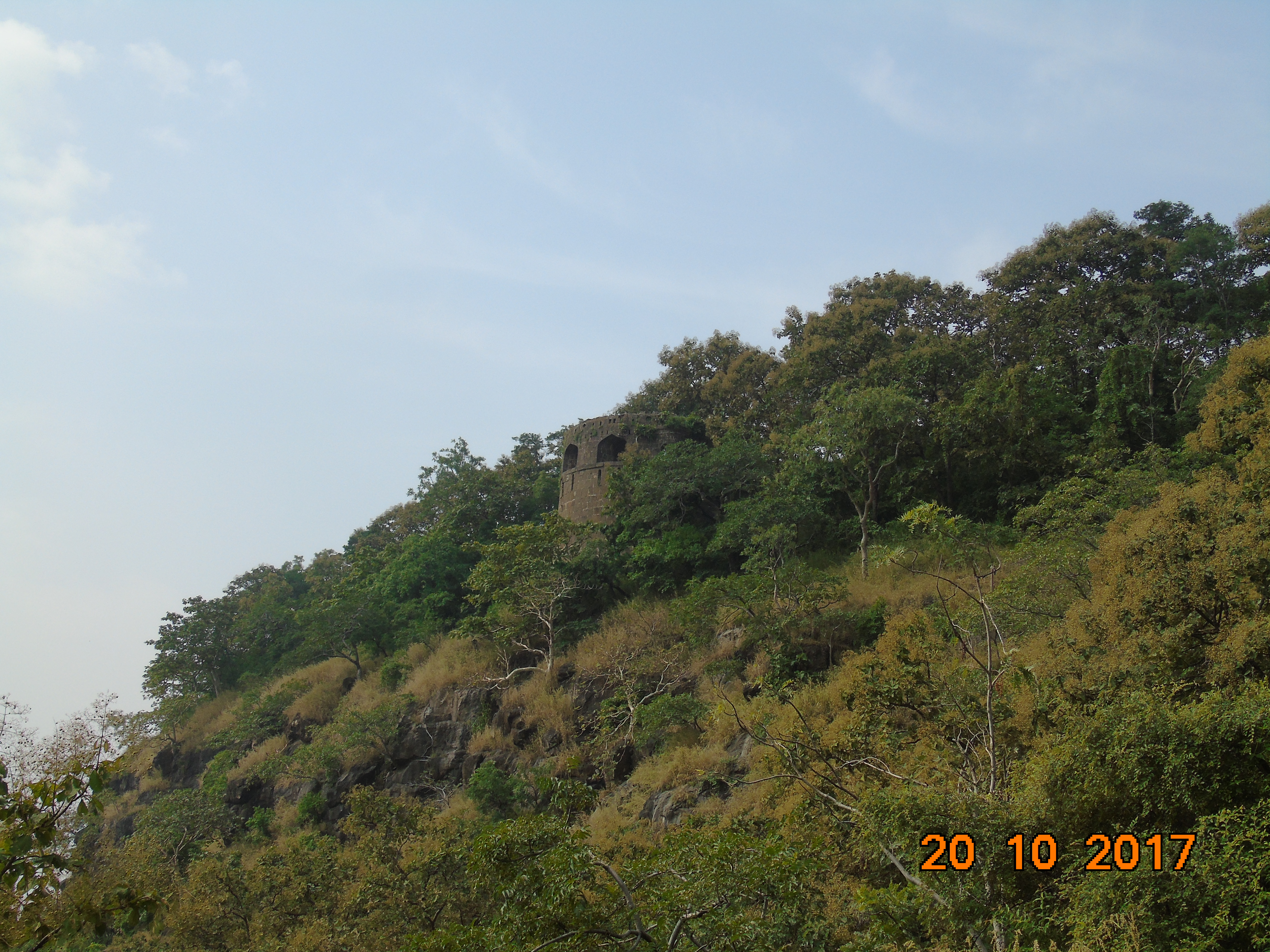
Three hundred and sixty watchtowers. Six great gates. And not a single soldier left to man them. Narnala Fort sprawls across 362 acres at the southernmost tip of the Satpura Hills in Maharashtra's Vidarbha region, an immense stone skeleton of a place that has been fought over, renamed, rebuilt, and abandoned more times than any single chronicle can reliably track. The fort sits at 932 meters above sea level within the Melghat Tiger Reserve, which means that today its ramparts are more likely to be patrolled by Bengal tigers than by any army.
A Name That Keeps Returning
The fort takes its name from Raja Narnal Singh Swami, a Chalukya ruler who built the earliest major fortifications here, likely before the 10th century CE. When Islamic rulers took control, they renamed it Shahnoor. But the name did not stick. A later descendant, Rao Rana Narnal Singh Solanki, reclaimed the fortress in the early 16th century, rebuilt it with Hindu architectural elements, and restored its original name. The Solanki dynasty's emblem -- the Ashtakamal, an eight-petaled lotus -- still appears carved into the fort's mosques and gateways, a quiet reminder that the Islamic rulers who followed adapted existing structures rather than rebuilding from scratch. At this elevation and in this terrain, no ruler could afford to tear everything down and start over.
Eight Centuries of Changing Flags
The fort's history reads like a roll call of central India's dynasties. The Yadava kings established it around the 10th century. The Persian historian Firishta records the Bahmani sultan repairing it between 1425 and 1428. In 1437, a provincial governor sheltered inside its walls during an invasion from Khandesh and successfully repelled the siege. Fathullah Imad-ul-Mulk took control in 1487, founding the Imad Shahi dynasty with Narnala as one of its strongholds. In 1572, Burhan Imad Shah was imprisoned within these walls by his own minister -- a betrayal that brought the Ahmadnagar Sultanate crashing through the gates. By 1597, Akbar's generals had seized the fort and folded it into the Mughal province of Berar. Then, in 1701, the Marathas arrived. Raje Parsoji Bhosale captured Narnala and appointed descendants of the original Narnal Singh as hereditary governors, granting them the title Thakurrao.
Stone and Story
The Mahakali Gate is the fort's masterpiece. Built of white sandstone in 1486 during the Bahmani period, it is decorated with carved lotus flowers, a rich cornice, projecting balconies, and stone latticework panels of considerable variety. Arabic inscriptions and a verse from the Quran were added later, layered over the Hindu ornamental scheme. Inside the complex, the Rani Mahal -- the Queen's Palace -- still stands. Elephant stables speak to a time when war elephants were garrisoned here. The ruins of a palace built to honor Raja Raghoji Bhonsle by the Rana governors survive alongside mosques attributed to the Bahmanis and even to Aurangzeb. An arsenal once held the Nau-Gazi tope, a cannon named for its nine-yard length. The fort is really three forts joined together: Jafarabad to the east, Narnala in the center, and Teliagarh to the west.
The Lake and the Legend
At the heart of the complex lies a lake that local legend claimed contained the philosopher's stone -- a substance capable of transmuting base metals into gold. The lake was also believed to possess healing properties. During the devastating Indian famine of 1899-1900, the lake dried up completely. No philosopher's stone was found. What the dried lakebed revealed instead was the harsh geology of the Satpura Hills: the same sandstone, granite, and teak-forested ridgelines that make this corner of Maharashtra both beautiful and unforgiving. Today the fort sits quietly inside the Melghat Tiger Reserve, its watchtowers silhouetted against monsoon clouds, its gates opening onto trails where leopards and sloth bears move through the ruins.
From the Air
Located at 21.24°N, 77.03°E at 932 meters elevation in the southern Satpura Hills of Maharashtra. The fort complex covers 362 acres and is visible as a large clearing on the forested ridgeline. It lies within the Melghat Tiger Reserve. The nearest city is Akot, 18 km to the south. The nearest airports are Akola (VAAK, approximately 60 km south) and Nagpur (VANP, approximately 250 km east). Best viewed at 3,000-5,000 feet AGL for the full extent of the three-fort complex.