Naypyidaw
The 20-lane boulevard stretches toward the horizon, immaculate and almost entirely devoid of traffic. On either side, identical ministry buildings stand in formation like bureaucratic soldiers. The apartment blocks beyond them have roofs painted in colors that announce their residents' professions -- blue for the Ministry of Health, green for Agriculture. Welcome to Naypyidaw, the "abode of kings," a capital city that Myanmar's military junta conjured from farmland in 2005 and that has been perplexing visitors ever since. Covering 7,054 square kilometers -- more than four times the area of London -- with an official population of just 924,608, Naypyidaw is less a city than an argument rendered in concrete: that a nation's power can be relocated by decree, even if its people cannot.
Why Here, Why Now
The official explanation for moving Myanmar's capital from Yangon was simple: the old city was too congested for government expansion. The real calculus was more complex. Naypyidaw sits at the geographic center of the country, adjacent to the Shan, Kayah, and Kayin states -- chronically unstable regions where a stronger military presence might, the generals reasoned, provide stability. The nearby town of Pyinmana had been a settlement since the Pagan kingdom era, lending the site a thin veneer of historical legitimacy. But the deeper impulse appears to have been the construction of an impregnable citadel: a capital designed to withstand both foreign invasion and popular uprising. High-ranking military officers live 11 kilometers from regular government employees, in a restricted zone said to contain tunnels and bunkers. The Presidential Palace has 100 rooms. The parliamentary complex encompasses 31 buildings. Construction was overseen by the military's engineering corps and contractors with family ties to senior officers, funded through the military's conglomerate, Myanma Economic Holdings Limited.
A City of Zones
Naypyidaw does not sprawl organically the way cities normally do. It was planned from the start as a series of discrete zones, each with a specific function, connected by roads that seem engineered for a population ten times its actual size. The Residential Zone assigns apartments by rank and marital status. The Ministry Zone lines up identical government headquarters in rows. The Hotel Zone clusters a handful of villa-style hotels on the hilly outskirts -- eight within a dedicated hotel zone, plus two on the Yangon-Mandalay road. For the 2013 Southeast Asian Games, 348 hotels and 442 inns were built. Forty villas rose near the Myanmar Convention Centre for the 2014 ASEAN summit. The Market Zone centers on Naypyidaw Myoma Market, supplemented by Junction Centre, the city's first privately operated shopping mall. Behind the city hall, a park with a water fountain complex hosts a musical light show every night -- though who watches it on any given evening remains an open question.
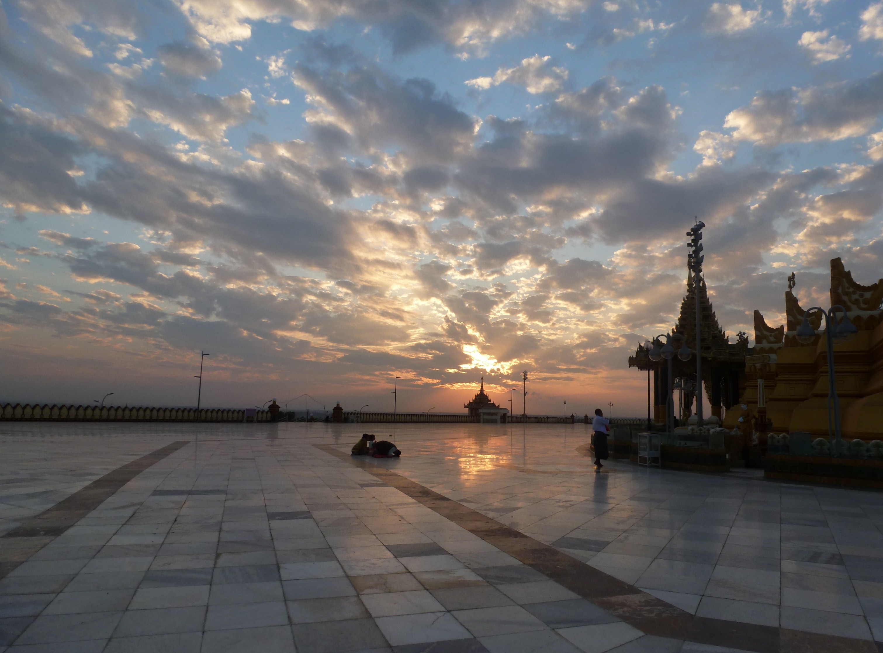
The Uppatasanti Pagoda and the Sacred Copy
If Naypyidaw has a spiritual anchor, it is the Uppatasanti Pagoda -- a near-exact replica of Yangon's Shwedagon Pagoda, built just 30 centimeters shorter than the original. The stake-driving ceremony was held on 12 November 2006, and the invitation card opened with the phrase "Rajahtani Naypyidaw" -- "the royal capital where the king resides." Uppatasanti translates roughly to "Protection Against Calamity," taking its name from a Buddhist sutta composed by a monk in the early 16th century, intended to be recited in times of crisis, particularly when facing foreign invasion. That a military government chose this specific name for the centerpiece of their new capital was not accidental. The pagoda stands as both a religious monument and a political statement, a declaration that the generals who built it saw themselves as inheritors of Burma's royal and spiritual traditions.
Connected to Everywhere, Close to Nothing
A four-lane, 323-kilometer highway links Naypyidaw to Yangon, part of the larger 563-kilometer Yangon-Naypyidaw-Mandalay Expressway. The airport boasts a 3.6-kilometer runway and a 69-meter control tower capable of handling 65,000 flights annually -- though it now serves only domestic destinations, with international service from Thailand and China having ceased. Naypyidaw Central railway station opened on 5 July 2009, even though the overpass, locomotive shed, parking lot, and passenger lounge were not yet complete. The nine-hour train ride from Yangon arrives at 21:30. In 2011, Russian media announced that a 50-kilometer metro line would be built beneath the city -- Myanmar's first underground rail system. The plan was quietly cancelled due to lack of demand. Public bus service between neighborhoods remains limited. The infrastructure exists for a metropolis; the metropolis has not yet fully arrived.
The Earth's Verdict
On 28 March 2025, a powerful earthquake delivered a judgment that no amount of military planning had anticipated. Naypyidaw suffered the second-highest death toll of any area affected. As of April 2025, 75 temporary relief camps sheltered 2,900 families, while another 23,800 families were relocated. The damage was not confined to ordinary housing -- even the elite enclaves were not spared. Government buildings cracked. The Central Bank, the ministries of foreign affairs, immigration, and commerce all began planning relocations back to Yangon due to damage to their offices and staff housing. State-run media went offline. Myanmar's military leader, Min Aung Hlaing, ordered a redrawing of the city's layout. The earthquake exposed what critics had long suspected: that a city built rapidly by military decree, using contractors with political rather than engineering credentials, was not as solid as its 20-lane boulevards suggested.
From the Air
Located at 19.76N, 96.07E in central Myanmar. From altitude, Naypyidaw is unmistakable -- its massive grid of wide, largely empty boulevards and identical ministry buildings contrasts sharply with the surrounding agricultural land and forested hills. The Uppatasanti Pagoda is visible as a golden spire near the city center. Look for the Bago Yoma mountains to the west and the Shan Yoma range to the east. Chaungmagyi Dam is visible to the north, Ngalaik Dam to the south. Nearest airport is Naypyidaw International Airport (VYNT), with a 3.6 km runway approximately 16 km southeast of the city center. Elevation is roughly 115 meters ASL. The Yangon-Mandalay Expressway is visible as a major highway corridor running north-south.