Neßmersiel
The thing about a sluice gate is that it requires a coastline to stay where it is. The thing about an East Frisian coastline is that it does not. Neßmersiel - the name literally means "the sluice belonging to Nesse" - is a small harbor village whose port has been built, abandoned, rebuilt closer to the sea, abandoned again, and rebuilt a third time. The current harbor opened in 1970. The first one was about four hundred years older, and it sat well inland from where the dike now stands.
A Sluice and a Word
Neßmersiel was first recorded in 1599 as Nesser Zill. By 1719 the name had settled into Nesmer Siel, where Siel is the Low German word for sluice and Nesmer refers to the neighboring inland village of Nesse. The original sluice operated for more than three and a half centuries, opening and closing with the tides until 1953. Its job was straightforward: let inland water drain out at low tide, hold back the sea at high tide. Without that piece of engineering, the marshes behind the dike would have been useless for crops or livestock. Multiply this arrangement by every Siel along the East Frisian coast - Greetsiel, Dornumersiel, Carolinensiel, Bensersiel - and you have the infrastructure that turned a saltwater plain into farmland.
Three Harbors
The first port at Neßmersiel was built around 1570. From it, grain sailed to Bremen, Hamburg, the Netherlands, and Norway - a respectable little trade for a marshland parish. By 1700, the original harbor had silted up, choked by sediment that the dikes themselves helped concentrate. So the villagers built a new one closer to the sea. By 1930, that one was also closed. The third harbor, the modern one, opened in 1970 specifically to handle the ferry to Baltrum, which began service that same year. In 2008, between April and August, the wharf was extended by 35 meters to take over the freight traffic that had previously moved through Norddeich. Each rebuilding is its own admission that the coast is not a fixed thing.
The Place Where the Walks Begin
Most guided tours of the north German Wadden Sea coast start at Neßmersiel. The village lies directly behind the dike - close enough that you can climb to the top of it and see the watt spread out before you, gray-brown and ribbed with channels at low tide, silver and blank at high tide. Between ten and twelve million migratory birds visit the Lower Saxon Wadden Sea National Park each year, and a significant fraction of them pass close enough to Neßmersiel that a patient observer with binoculars can fill a notebook in a morning. The village itself is mostly holiday homes now, with restaurants, hotels, cafes, shops, and a beachside playground for children. The pace is slow. The wind is constant. The horizon is wider than anything you have probably seen in a city.
A Bavarian Film and a Bomb Crater
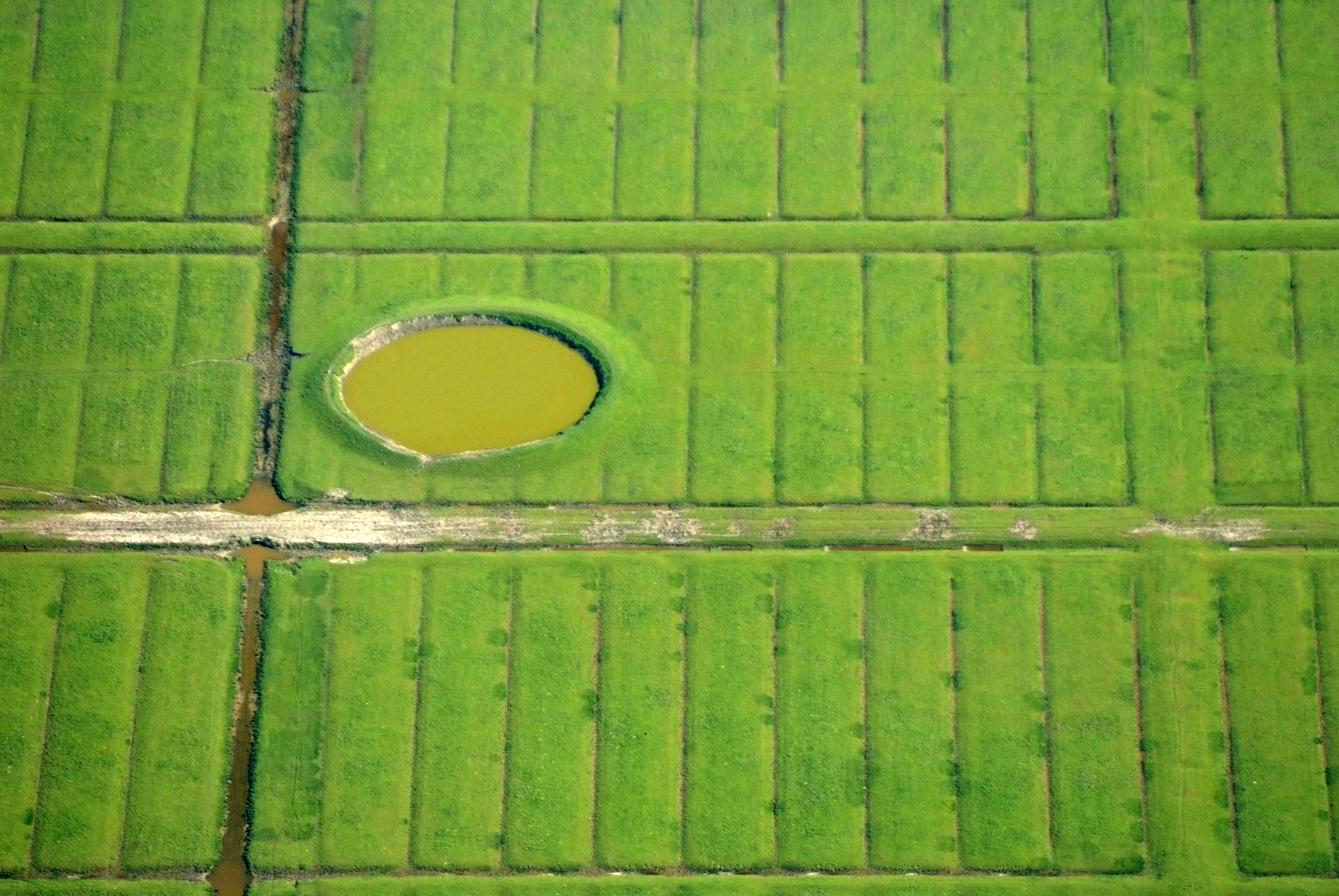
Neßmersiel has two unlikely entries in the local trivia. One is that a 1973 Bavarian sex comedy, The East Frisian Report, was filmed in and around the village - one of the lower-budget contributions to a peculiar German cinematic genre of the period. You can still pick out locations from the movie if you know what to look for. The other is more sobering. A bomb crater from the Second World War remains visible from the air on the village's outskirts, a circular scar in the pasture that will probably outlast the houses around it. From 1867 until 1977, Neßmersiel was administered as part of the district of Norden, and it is now an Ortsteil of the municipality of Dornum, about five kilometers to the southeast.
From the Air
Located at 53.67°N, 7.36°E on the East Frisian coast directly across the tidal channel from Baltrum. Recommended viewing altitude 2,000-3,000 ft for the dike line, the small harbor, and the watt mudflats to the north. The Baltrum ferry route is clearly visible at low to mid tide. Nearest aerodromes: Norderney (EDWY) to the northwest and Baltrum's grass airstrip (EDWZ) just across the water. The bomb crater referenced in local records is on the southern fringe of the village. Best aerial light is early morning when the dike casts a clean shadow across the marsh.