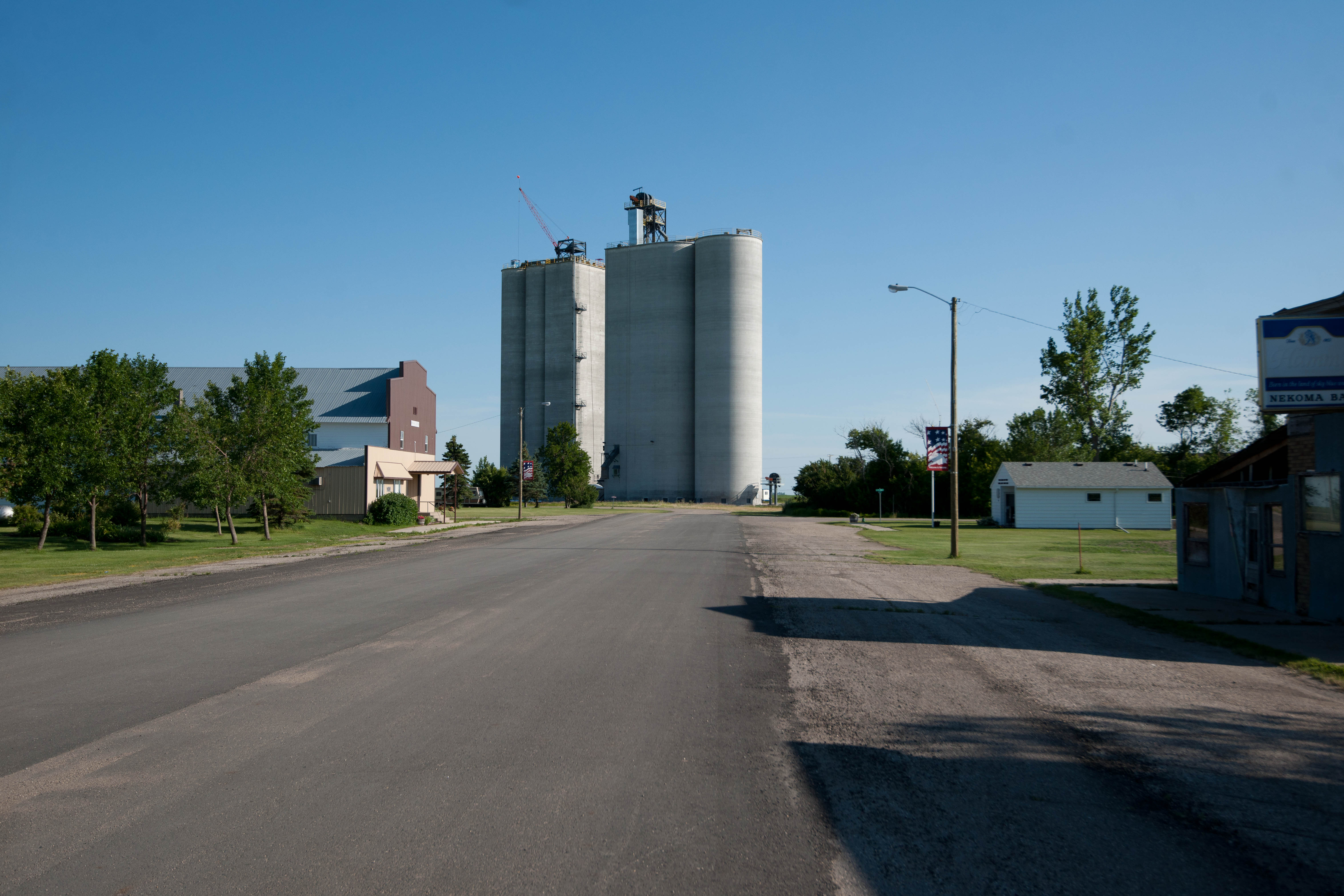
Nekoma, North Dakota
From the air, the pyramid appears impossible. A truncated concrete structure several stories tall rises from the dead-flat farmland of Cavalier County, North Dakota, flanked by skeletal radar towers, surrounded by nothing but wheat fields and sky. This is not ancient Egypt. This is Nekoma, population 31, a tiny city on the northern Great Plains that found itself at the center of Cold War nuclear strategy when the United States Army built the Stanley R. Mickelsen Safeguard Complex here in the early 1970s. The pyramid -- with walls three feet thick -- once housed the radar systems and data processing equipment designed to track and intercept Soviet intercontinental ballistic missiles. It was America's first operational anti-ballistic missile defense system. It operated for eight months.
A Billion-Dollar Shield for Doomsday
Construction began in April 1970, and more than 1,000 workers descended on Nekoma -- a number that dwarfed the town's own population many times over. The Safeguard Complex was designed to protect the Grand Forks Air Force Base missile field from Soviet nuclear attack. Buried in the surrounding prairie were launch sites for 30 LIM-49 Spartan missiles, long-range interceptors designed to destroy incoming warheads in space, and 70 shorter-range Sprint missiles built to catch anything the Spartans missed during the final seconds of descent. The pyramid itself, formally called the Missile Site Radar facility, contained two different radar systems and the data processing equipment needed to detect, track, and engage enemy warheads streaking toward North Dakota at thousands of miles per hour. The complex achieved initial operating capability on April 1, 1975, and reached full operational status on October 1 of that year.
Eight Months and Out
The mathematics of nuclear deterrence undid the project almost as soon as it began. Critics argued that the system could be overwhelmed by simply adding more warheads -- cheaper for the Soviets than building additional Safeguard sites was for the Americans. The Anti-Ballistic Missile Treaty of 1972, signed between the United States and the Soviet Union, had already limited each nation to just two ABM sites (later reduced to one), constraining the program's potential scope. By the time Nekoma's pyramid went operational, Congress was deeply skeptical. The House of Representatives voted to deactivate the complex in October 1975, the very month it achieved full capability. The site shut down on February 10, 1976. The missiles and equipment were removed. Many smaller buildings were dismantled. But the massive concrete pyramid, with its three-foot-thick walls, proved far more expensive to demolish than to leave standing.
A Monument No One Planned
The pyramid endures. Too massive and too solid to tear down economically, it sits on the prairie like a relic from some other civilization -- which, in a sense, it is. The Cold War logic that produced it belongs to a different era, one in which two superpowers prepared for annihilation with the calm precision of engineering blueprints. The supporting radar towers still stand alongside it, stripped of their equipment, skeletal against the North Dakota sky. For decades, the complex passed through various hands. The surrounding land returned to agricultural use, and the pyramid became an unlikely landmark, drawing curious visitors and photographers to one of the most remote corners of the lower 48 states.
Thirty-One People and a Pyramid
Nekoma itself is a city in the most technical sense. The 2020 census counted 31 residents. In 2010, there were 50. The town was established in 1905, long before anyone imagined building a missile defense system on the prairie. Its existence is typical of hundreds of tiny Great Plains communities founded during the railroad era, sustained by agriculture, and slowly depopulated over the decades as farming consolidated and young people moved to cities. In July 2022, data center developer Bitzero Blockchain acquired the pyramid, announcing plans to restore and renovate the structure into a data center with a $500 million investment and an interpretive center for visitors. Whether the pyramid's next chapter involves server racks or museum displays, Nekoma's strange monument to Cold War anxiety will keep drawing eyes -- from the ground and from the air.
From the Air
Located at 48.576°N, 98.371°W in Cavalier County, North Dakota, at approximately 1,500 feet MSL. The Stanley R. Mickelsen Safeguard Complex pyramid is the unmistakable landmark -- a massive truncated concrete pyramid visible from considerable altitude against the flat agricultural landscape. Surrounding radar towers are also visible. The structure is approximately 15 miles south of the Canadian border. Cavalier Municipal Airport (K0V4) is roughly 20 miles northeast. Grand Forks International Airport (KGFK) is approximately 90 miles south-southeast. The terrain is entirely flat farmland with a grid pattern of roads and section lines clearly visible from altitude. The pyramid and its associated structures appear dramatically out of place against the surrounding wheat fields. Best viewed from 3,000-6,000 feet for full appreciation of the contrast between the military complex and the agricultural landscape.
Sources
- Wikipedia - Nekoma, North Dakota
- North Dakota Studies - Nekoma Safeguard Complex
- Stanley R. Mickelsen Safeguard Complex official site
- Web search results - Nekoma Safeguard Complex
- Stanley R. Mickelsen Safeguard Complex - Wikipedia
- Anti-Ballistic Missile Treaty - Wikipedia
- North Dakota Governor Press Release - Bitzero
- Bleeding Heartland - Bitzero Project Concerns