New York City Subway
On October 27, 1904, the first passengers descended into a tiled station beneath City Hall and boarded an electric train that would change the shape of New York forever. More than a century later, the New York City Subway operates 472 stations -- more than any other system on Earth -- serving four of the city's five boroughs around the clock, every day of the year. It is the busiest rapid transit system in the Western Hemisphere, a subterranean network so vast that its track would stretch from Manhattan to Chicago if laid end to end.
A Tunnel Under Broadway
The idea of underground transit in New York predates the subway itself by decades. In 1869, inventor Alfred Ely Beach built a secret pneumatic tube beneath Broadway -- a 312-foot demonstration tunnel that pushed a cylindrical car on a cushion of compressed air from Warren Street to Murray Street. Beach operated it briefly in 1870, charging a quarter for the novelty ride, but political opposition from Boss Tweed killed the project before it could expand. The city's above-ground alternatives -- horse-drawn omnibuses, steam-powered elevated railways -- were loud, dirty, and increasingly inadequate for a population hurtling toward two million. When the Interborough Rapid Transit Company finally opened its first underground line in 1904, the technology had leapfrogged from Beach's air cannon to electric traction. The original 28 stations featured elegant tilework, vaulted ceilings, and brass chandeliers that now survive mainly in photographs and in the sealed, ornate City Hall station visible only from a passing 6 train.
Three Systems Become One
What riders experience as a single subway is actually the legacy of three separate networks, each built by different operators with different track gauges and car widths. The Interborough Rapid Transit Company (IRT) built the original lines and most of the routes now designated with numbers. The Brooklyn-Manhattan Transit Corporation (BMT) expanded into Brooklyn and Queens with wider cars on what are now lettered routes. The city itself built the Independent Subway System (IND), intended to compete with and eventually absorb the private operators. Unification came in 1940, when the city took control of all three, but the physical incompatibilities remain: IRT platforms are narrower, and to this day, the wider BMT and IND cars cannot run on IRT lines. At the Transit Museum in Brooklyn Heights, platform-mounted yellow gap fillers swing out to bridge the difference when narrow IRT railcars are displayed alongside their wider cousins.
Never Closed, Never Finished
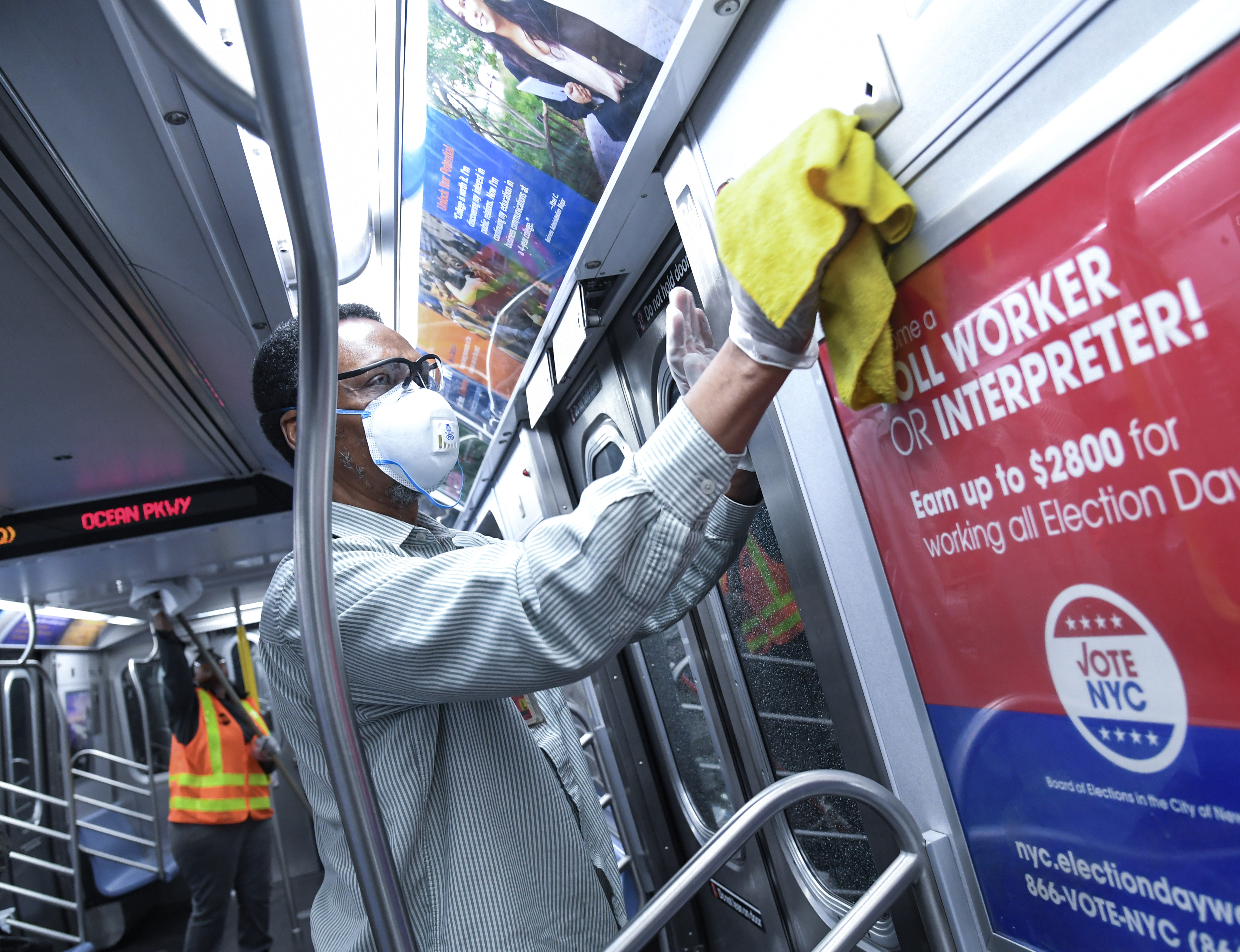
The subway has operated 24/7 since its earliest days, a claim almost no other transit system in the world can make. Out of 472 stations, 470 run around the clock. This ceaseless operation is both a point of pride and a logistical nightmare -- maintenance must happen in the slim windows between late-night trains, and decades of deferred work have left the system's mid-century signal infrastructure straining under modern demand. Most lines still rely on block signaling installed between the 1930s and 1960s. The gradual rollout of communications-based train control, starting with the L line in the 2000s, has begun to modernize operations, but progress is slow. A state of emergency was declared in 2017 after a string of derailments and overcrowding incidents, including a June derailment at 125th Street that injured 39 people. Meanwhile, the long-promised Second Avenue Subway opened its first phase in January 2017 -- the first major expansion in decades.
The Culture Below
The subway has always been more than infrastructure. The Miss Subways campaign ran from 1941 to 1976, posting photographs of young women in subway cars in a beauty-pageant-meets-public-transit tradition so embedded in city culture that it inspired a character in the musical On the Town. Buskers perform throughout the system, some through the Music Under New York program that has auditioned and placed performers since 1987. Keith Haring launched his art career by chalking blank advertising panels on subway platforms in the 1980s. The documentary Style Wars, released in 1983, transformed the system's graffiti problem into a recognized art form. Even the rats have become a cultural fixture -- omnipresent, occasionally viral on social media, and the subject of a dedicated city rat czar. The flat fare structure means a single swipe carries a rider from Coney Island to the Bronx, through every neighborhood and income bracket the city contains.
A Map of the City Itself
Since 2025, the official subway map has returned to a design based on Massimo Vignelli's 1972 original, a diagram so influential it hangs in the Museum of Modern Art. Vignelli's map sacrificed geographic accuracy for clarity, straightening routes into horizontal, vertical, and diagonal strokes on a clean white field. It was controversial in the 1970s and remains so -- riders who live above ground sometimes struggle to reconcile the elegant diagram with the tangle of streets above. But the map captures something true about the subway: it is its own geography, a parallel city with its own logic, its own weather (hot in summer, cold in winter, wet always), and its own social rules. Roughly 3.5 million rides happen on an average weekday, each one a small act of faith in a system older than most of its riders' grandparents.
From the Air
Located at approximately 40.700N, 74.000W in Lower Manhattan. The subway system spans all of Manhattan, Brooklyn, Queens, and the Bronx, with the densest concentration of stations below 59th Street in Manhattan. From altitude, subway entrances are identifiable by their distinctive green railings at sidewalk level. Nearby airports: KJFK (JFK International), KLGA (LaGuardia), KEWR (Newark Liberty). Best viewed at 3,000-6,000 ft AGL over Midtown or Lower Manhattan.