New Zealand Great Walks
One of them is not actually a walk. The Whanganui Journey requires a canoe, five days of paddling down New Zealand's longest navigable river toward the Tasman Sea. That it sits alongside nine overland tracks on the Department of Conservation's official list tells you something about how New Zealand defines a Great Walk: not by mode of travel, but by the quality of landscape you pass through. The ten routes, scattered across both islands and Stewart Island at the country's southern tip, range from the gentle 29 km Rakiura Track through kiwi habitat to the 81 km Heaphy Track, which crosses mountain passes at 915 metres before descending to a wild West Coast beach. Together they cover nearly every terrain the country offers - volcanic craters, glacial valleys, fiords, beech forest, coastal sand, and alpine tussock - connected only by the fact that each one earned its place on a very short list.
Fiordland's Three Contenders
Three of the ten Great Walks cluster in Fiordland National Park, on the South Island's southwest coast. The Milford Track, 54 km from Te Anau to Milford Sound, is the most famous and the hardest to book - peak-season hut reservations sell out within minutes. Before a road reached Milford Sound in 1952, this was the only overland route to the fiord, threading through alpine valleys carved by glaciers. The Kepler Track makes a 60 km loop past lakes and beech forests along a glacial valley. And the Routeburn Track, 32 km of alpine mountain hiking, connects the northern end of Lake Wakatipu to the Milford road, climbing above the treeline into a landscape where kea - mountain parrots so clever they work in teams to raid trampers' packs - rule the ridgelines. All three demand wet-weather gear. Fiordland's rainfall is among the highest in New Zealand, and the question is not whether it will rain but how hard.
The Northern Extremes
At the opposite end of the South Island, the Abel Tasman Coastal Walk offers a different kind of walking entirely. Its 51 km follow golden beaches and coastal forest with only gentle gradients - the closest thing on the list to a leisurely stroll, though it still takes three to five days. Nearby, the Heaphy Track in Kahurangi National Park is anything but leisurely. At 81 km, it is the longest Great Walk, leading through landscapes that shift from mountain beech to palm-fringed river gorges to the wave-battered nikau coast. Up on the North Island, the Tongariro Northern Circuit loops around Mount Tongariro and Mount Ngauruhoe in the volcanic heart of the island. The terrain here is otherworldly - barren craters, steaming vents, and glacial valleys carved not by ice alone but by eruptions. It shares ground with the popular Tongariro Alpine Crossing, but the full circuit takes two to three days and reaches places the day-trippers never see.
Hidden Corners and Quiet Water
Some Great Walks earn their status through remoteness rather than spectacle. The Lake Waikaremoana track, 46 km through Te Urewera in the North Island's east, follows a lakeshore through forests so dense the canopy blocks most of the sky. Swimming and fishing punctuate the walking. On Stewart Island, the Rakiura Track covers just 29 km in three days, but the point is not distance. The island is one of the best places in New Zealand to encounter kiwi in the wild, and the track passes through forest that has never been logged. The Paparoa Track, the newest Great Walk, opened in 2020 in Paparoa National Park on the West Coast - a trail built to modern standards through limestone karst country. And then there is the Whanganui Journey, where you trade boots for a paddle and spend five days on the river between Whakahoro and Pipiriki, drifting past mountains and valleys as the current carries you toward the sea.
The Culture of Tramping
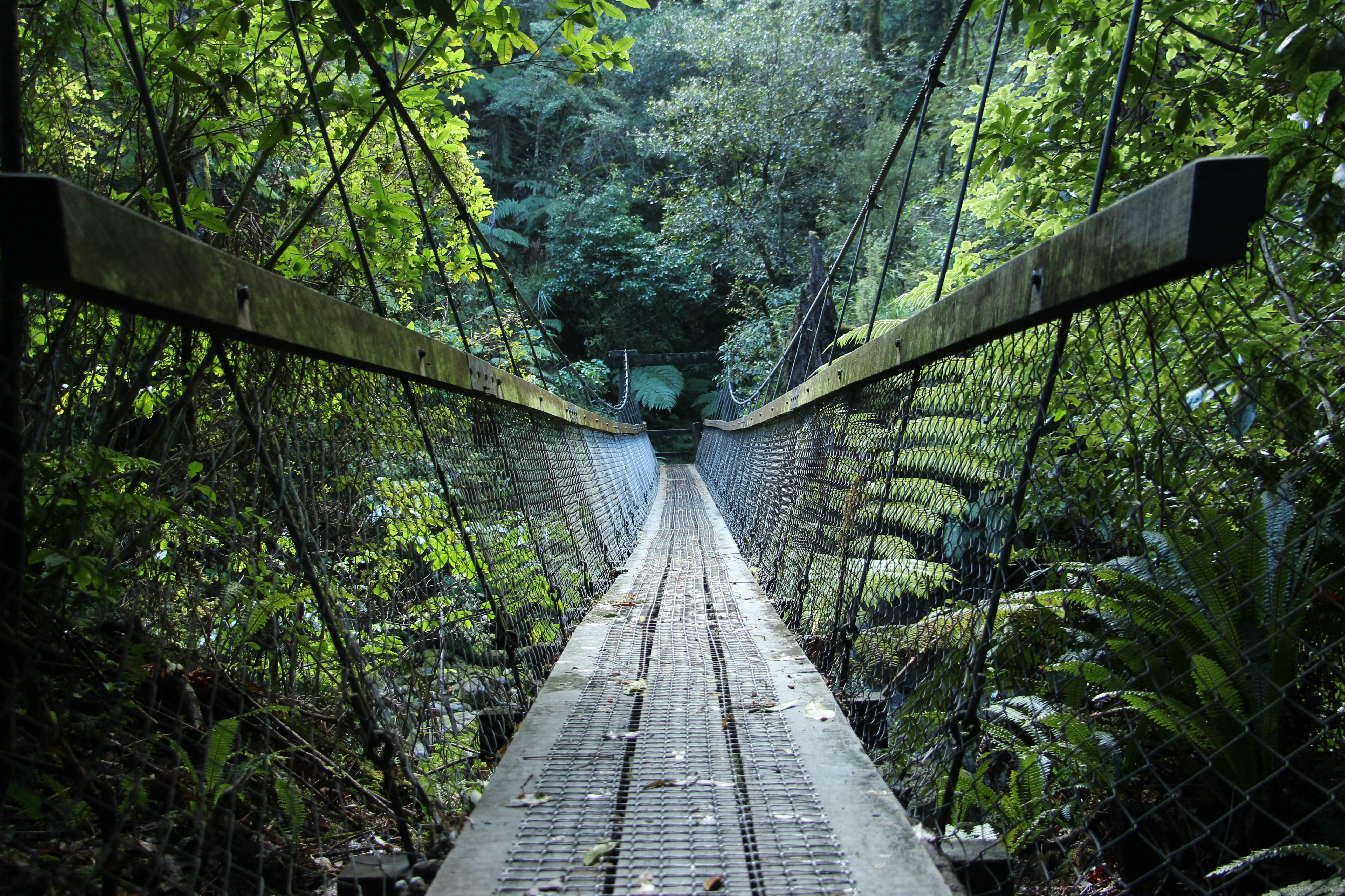
New Zealanders do not call it hiking. They call it tramping, and the distinction matters. The word carries an implied toughness - an expectation that you will carry your own food, sleep in DOC huts with no heating, and cope with sandflies, river crossings, and weather that changes by the hour. The Great Walks are the best-maintained trails in the country, with ranger-staffed huts during peak season and booking systems that manage numbers on each track. But they are not manicured theme-park paths. Even on the gentlest routes, the wilderness is real. Several tracks require advance booking months ahead, and limited daily numbers mean the trails never feel crowded despite their fame. The system reflects a national philosophy: these landscapes belong to everyone, but they must be earned on foot - or, in the case of the Whanganui, by paddle.
From the Air
The Great Walks are distributed across both main islands and Stewart Island. This article's coordinates (44.81S, 167.79E) center on Fiordland, where three Great Walks cluster. Nearby airports include Queenstown (NZQN), Te Anau (NZTZ), and Milford Sound (NZMF). The Tongariro walks are near Taupo (NZAP) on the North Island. The Abel Tasman and Heaphy are accessible from Nelson (NZNS). From altitude, the Fiordland tracks are identifiable by the deep valleys, fiords, and lake systems cutting through the Darran Mountains. Weather is highly variable across all locations, with Fiordland receiving some of the country's heaviest rainfall.