Ngabe-Bugle Comarca
The sound represented by the letter combination in Ngabe does not exist in Spanish. Newspapers, unsure how to render it, often misspell the name. The vowel sits somewhere near the English "aw" in "saw" -- a small linguistic fact that captures something larger about the Ngabe-Bugle Comarca: it operates on its own terms, in its own languages, on land its people fought for decades to secure. Created in 1997 from territory previously divided among the provinces of Bocas del Toro, Chiriqui, and Veraguas, this comarca is the largest and most populous of Panama's five indigenous territories, home to two distinct peoples whose languages are mutually unintelligible but whose political cause proved powerful enough to reshape the country's map.
A Territory Won, Not Given
Panama's constitution has required the establishment of comarcas -- demarcated regions where indigenous groups hold exclusive land rights and significant administrative autonomy -- since 1972. But constitutional promises and political reality moved at different speeds. The Ngabe-Bugle comarca did not come into existence until 1997, and it took more than legal obligation to make it happen. Threats of natural resource exploitation on ancestral lands, particularly the Cerro Colorado copper mine, united Ngabe and Bugle communities that had historically identified more with their individual villages than with a shared ethnicity. The political organization that resulted was unusual for a population so unevenly distributed across such varied terrain, but it proved effective. Within the comarca, residents elect a General Assembly and governor, though the Panamanian government retains control of public expenditure and tax revenues.
Two Peoples, One Name
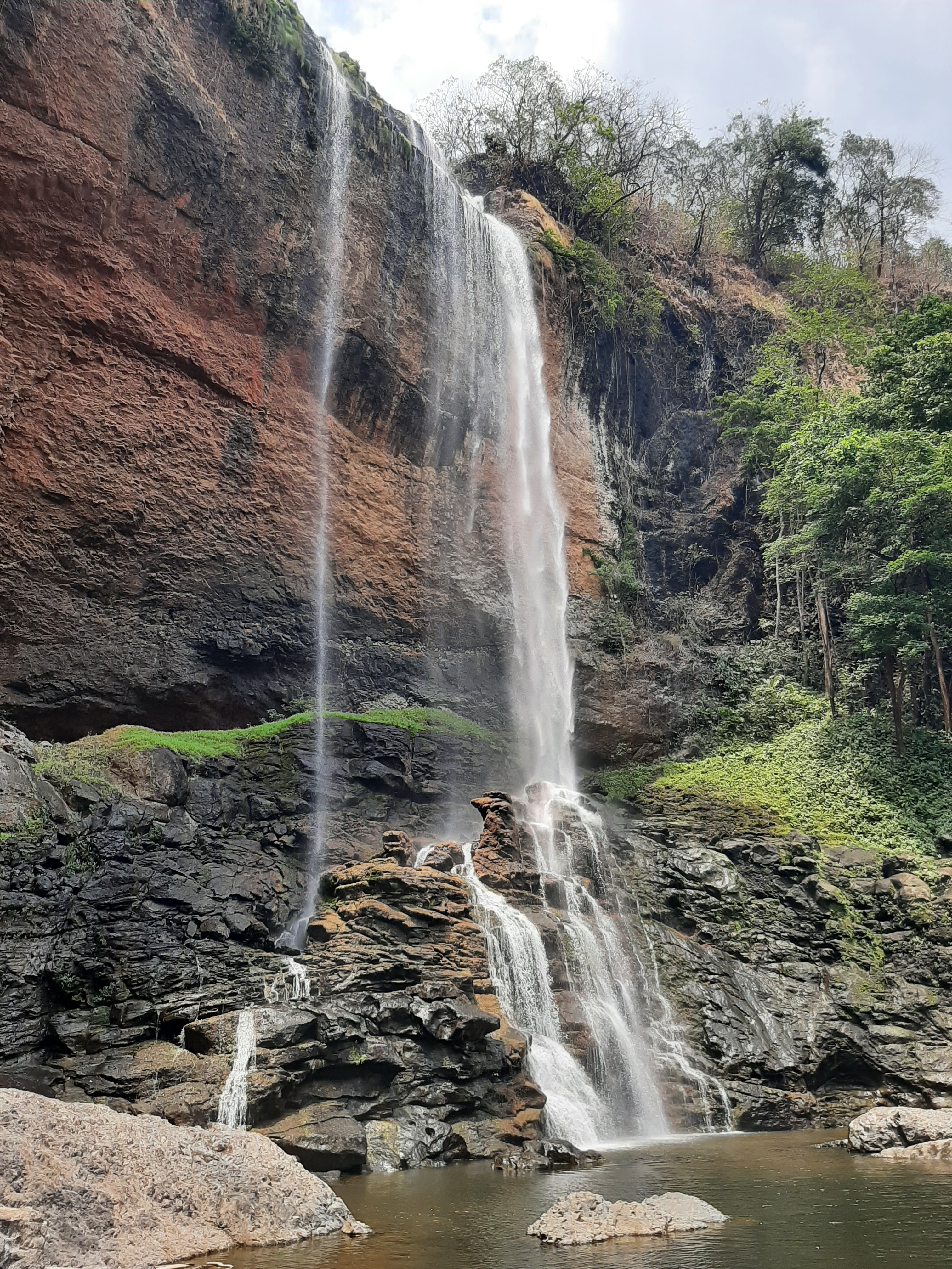
The Ngabe and the Bugle are often grouped together under the colonial-era name Guaymi, but they are two separate linguistic and cultural groups. Their languages cannot be understood across the divide. Together they form the largest indigenous population in Panama. The comarca's capital, known as Buabiti in Ngabere and Llano Tugri in Spanish, sits in the Muna district. Most travel within the territory is done on foot or horseback -- the first road into the comarca began as a mine access route running to Buabiti and continuing to Escopeta, site of the Cerro Colorado mine, connecting to the outside world through San Felix and the Interamericana highway. The landscape itself splits along the continental divide: the Caribbean slope receives rain year-round under dense tropical forest, while the Pacific slope has a dry, windy season from December to April and a mix of grasslands and forest.
Life in the Comarca
Houses in the comarca are typically built on stick frames with grass or zinc roofs and dirt floors. Wealthier families may have cement. Inside, a raised platform beneath the roof stores food, and bed platforms line the walls. Chacaras -- sturdy bags woven from plant fibers, called kra in Ngabere -- serve as all-purpose carriers, used for everything from hauling crops to cradling infants. Large cooking pots called pailas anchor the kitchen, and many households keep chicha, a fermented corn drink, on hand. Families tend to be large, and groups of women often live near each other to share the work of raising children. Polygamy was once common among the Ngabe-Bugle, a sign of a man's prestige, but it has become rare as the economic burden of supporting multiple households has grown.
Land, Kinship, and Survival
Subsistence agriculture is the foundation of Ngabe-Bugle life, and land ownership follows kinship lines. Members of a family group collectively hold land, but those who live on it and farm it exercise day-to-day control. Rights can be extended to a spouse's family but revoked if circumstances change. The diet relies on what the land produces: mangos, oranges, nance, and cacao supplement staples, while sardines are a common protein source and hojaldras -- fried Panamanian bread -- appear at breakfast. Meat is rare despite many families keeping cows, pigs, and chickens. Most farming uses slash-and-burn clearing, but growing population pressure means fields are rarely left fallow long enough to recover, and yields decline over time. Many men leave the comarca seasonally to work as migrant agricultural laborers or seek informal jobs elsewhere.
The Price Beneath the Soil
The Cerro Colorado copper deposit, one of the largest in Central America, sits within the comarca's boundaries. Under Panamanian law, subsurface mineral rights belong to the state, not the surface landowners -- a legal distinction with enormous consequences for the Ngabe-Bugle. Mining operations threaten local watersheds through waste runoff from extraction and processing. Most residents oppose mineral exploitation on their lands, viewing it as both an environmental hazard and a cultural intrusion. The tension between state-controlled resource extraction and indigenous land sovereignty was one of the forces that drove the comarca's creation in the first place, and it remains unresolved. The Ngabe-Bugle won their territory through political organizing; whether they can protect it from what lies beneath it is a different struggle entirely.
From the Air
The Ngabe-Bugle Comarca is centered around 8.77N, 81.73W, stretching across northwestern Panama from the Caribbean coast to the Pacific slope. The territory is vast and largely roadless, covered in tropical forest on the Caribbean side and mixed grassland-forest on the Pacific side. Nearest major airports are Enrique Malek International (MPDA) in David to the west and Tocumen International (MPTO) in Panama City far to the east. The Interamericana highway passes south of the comarca. From altitude, the territory appears as an unbroken green expanse interrupted only by river corridors.