The Niger River: The Boomerang That Built Empires
The Niger River begins 240 kilometers from the Atlantic Ocean, then runs directly away from it. For 4,180 kilometers it traces a vast boomerang through West Africa -- north into the Sahara, east past Timbuktu, then sharply southeast through Nigeria before finally reaching the sea through the labyrinthine Niger Delta. This improbable route baffled European geographers for centuries. Pliny the Elder connected it to the Nile. Mungo Park thought it was the Congo. Ibn Battuta visited its banks and still the myth persisted. The Tuareg, who actually lived along it, had a simpler name: Egerew n-Igerewen -- the river of rivers. They were not being poetic. They were being precise.
Born in the Wrong Direction
The Niger's source lies in the Guinea Highlands of southeastern Guinea, near the Sierra Leone border -- highlands that drain dozens of rivers westward to the Atlantic. The Niger alone defies this logic, flowing northeast into the continental interior. Geologists attribute this to the river's ancient origins: it once consisted of two separate rivers, an upper Niger flowing into a now-vanished inland lake and a lower Niger draining independently to the sea. As the Sahara dried and the inland lake disappeared, the two systems captured each other, creating the great bend. The result is a river that carries remarkably little sediment -- only a tenth as much as the Nile -- because its headwaters lie in ancient rocks that yield almost no silt. The water runs clear where you might expect brown, another of the Niger's quiet contradictions.
The Inland Sea That Disappears
Between Segou and Timbuktu, the Niger does something unexpected: it spreads. Where the riverbed's gradient suddenly flattens, the water fans into the Inner Niger Delta -- a vast labyrinth of braided streams, marshes, and seasonal lakes covering up to 20,000 square kilometers during the annual flood. The delta consumes nearly two-thirds of the river's flow through seepage and evaporation, losing an estimated 31 cubic kilometers of water per year. What sounds like waste is actually productivity. The seasonal flooding creates one of West Africa's most fertile regions, supporting intensive fishing and agriculture in a zone that would otherwise be Sahelian scrub. Mud-walled villages rise on islands between channels. Bozo fishermen follow the receding waters. Fulani herders time their cattle migrations to the flood cycle. The Inner Delta is not a detour in the Niger's journey -- it is the engine of an entire regional economy, and has been for millennia.
River of Empires
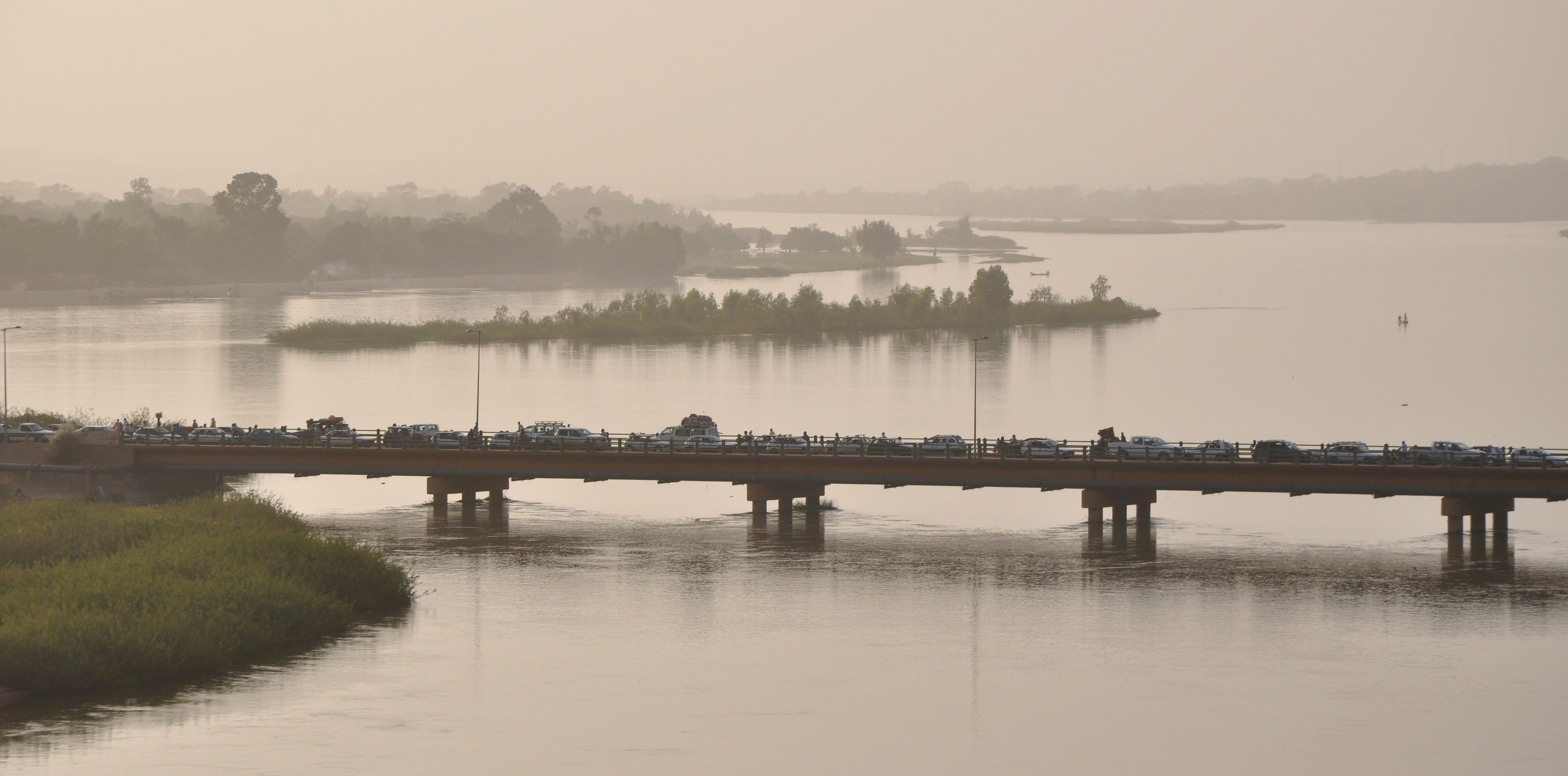
Control the Niger bend, and you control West Africa. The empires of Ghana, Mali, and Songhai understood this, building their wealth on the trade that flowed along and across the river. Timbuktu, positioned where the Niger curves closest to the Sahara, became the southern terminus of trans-Saharan caravans carrying salt, gold, and enslaved people. By the mid-15th century it was a city of perhaps 100,000 people, home to the Sankore mosque and its university, one of the great centers of Islamic scholarship. Gao, downstream, served as the Songhai Empire's capital. The river was not merely a trade route but a civilizational spine, connecting forest and desert, linking the gold fields of the south to the salt mines of the north. Islam arrived along these trade networks around the 14th century, and the religious geography of the Niger basin still reflects that history: predominantly Muslim in the north, predominantly Christian in the south, with the river marking the cultural transition.
The European Obsession
For European geographers, the Niger was a puzzle that refused to yield. Ptolemy mentioned a river called "Nigir" south of the Sahara, but its course was pure speculation. Medieval maps applied the name to the middle reaches in Mali while calling the lower reaches in Nigeria "Quorra," not recognizing them as the same waterway. In 1788 the African Association formed in London specifically to locate the Niger's course. Eight years later, Scottish explorer Mungo Park became the first European to see the middle Niger since antiquity, writing an account that proposed the river and the Congo were one. He died in 1806 on a second expedition trying to prove this theory, drowned near Bussa in modern Nigeria. The Niger Delta, which should have been the obvious answer, was such a tangle of mangrove-choked channels that no European recognized it as the mouth of a continental river. Not until 1946 did anyone begin to traverse the entire length, when three Frenchmen -- Jean Sauvy, Pierre Ponty, and filmmaker Jean Rouch -- set out from the source in Guinea. Ponty left the expedition at Niamey; Sauvy and Rouch continued on to the sea, completing the full traverse in 1947.
Ten Countries, One Basin
Today the Niger basin covers 7.5 percent of Africa, spreading across ten countries. The river remains the lifeblood of the Sahel, the primary water source for communities in some of the world's most arid inhabited regions. But the flow is diminishing. Water entering Nigeria was estimated at 25 cubic kilometers per year before the 1980s; by the 1980s it had dropped to 13.5 cubic kilometers. Dams in Mali -- at Selingue for hydropower, at Markala and Sotuba for irrigation -- regulate flow but reduce downstream supply. The FAO estimates the basin's irrigation potential at 2.8 million hectares, of which less than a million were under irrigation in the late 1980s. The Niger's future will be shaped by the same competing demands that define water politics worldwide: agriculture versus hydropower, upstream versus downstream, development versus the ecological health of the Inner Delta. The river of rivers has always given more than it keeps. The question now is how much more it can afford to lose.
From the Air
The Niger River source is located at approximately 9.10N, 10.68W in the Guinea Highlands near the Sierra Leone border. From altitude, the river is visible as a bright thread running northeast into the Malian interior, widening dramatically at the Inner Niger Delta near Mopti -- a vast green wetland visible from high altitude that contrasts sharply with the surrounding Sahelian brown. The great bend near Timbuktu is a distinctive navigation landmark. The river is approximately 4,180 km long and passes through or borders ten countries. In the source region, the nearest significant airport is Conakry (GUCY). Along the middle Niger, Bamako-Senou (GABS) and Timbuktu (GATB) serve the Malian section. The river delta in Nigeria is served by Port Harcourt (DNPO). Visibility is generally good in the dry season but reduced by Harmattan haze from December to February.