Four Million Second Chances
Every autumn, Chinook salmon swim up the American River toward a wall they cannot pass. Nimbus Dam blocks the route their ancestors followed for millennia into the Sierra Nevada's cold tributaries, so the fish turn instead toward a concrete fish ladder on the river's south bank. They climb it, step by step, into the hands of the California Department of Fish and Wildlife. What awaits them is not the gravel beds of a mountain stream but the fluorescent-lit raceways of the Nimbus Fish Hatchery -- a facility that strips their eggs, fertilizes them artificially, raises the fry to four inches, and trucks them back to the river in batches of 1.33 million. It is salmon reproduction as industrial process, and it has been running since 1955.
The Bargain the Dams Required
When the Bureau of Reclamation built Folsom and Nimbus Dams in the early 1950s, it cut off 125 miles of Chinook salmon and steelhead habitat in the American River watershed. The fish that had migrated annually from the Pacific Ocean to Sierra foothill streams were suddenly confined to roughly seven miles of river below Nimbus Dam. The hatchery was the government's answer -- not a solution, exactly, but a mitigation, negotiated during a Fish and Wildlife Coordination Act process that began in 1946, nearly a decade before the dams were finished. The terms were precise: the hatchery would produce four million juvenile Chinook salmon and 430,000 steelhead trout annually, replacing through technology what concrete had eliminated. The Bureau of Reclamation owns and funds the facility; the California Department of Fish and Wildlife operates it. The arrangement reflects the uncomfortable truth at the heart of Western water policy: the same agencies that destroy habitat are responsible for compensating the species they displaced.
Eggs by the Million
The hatchery's numbers are staggering in their precision. An average of 2,600 salmon and 200 steelhead are spawned each year. From those fish come six million salmon eggs and one to two million steelhead eggs, each female contributing roughly 5,200 and 5,600 eggs respectively. Incubation takes 45 days for salmon, 35 for steelhead. The fry grow to four to six inches before release, a size large enough to improve survival but small enough that predators -- bass, birds, seals -- still take a heavy toll. To track outcomes, one quarter of all salmon and every steelhead receive a clipped adipose fin and a coded wire tag implanted in the nose, a tiny metal identifier carrying data on hatchery of origin, age, and release site. When a tagged fish turns up in a commercial catch or returns to spawn years later, that tag tells biologists whether the hatchery's arithmetic is working.
Three Roads to the Ocean
The hatchery releases its salmon from three locations, each chosen to balance imprinting -- the process by which young fish memorize their home river's chemical signature -- against the brutal predation rates on the lower American River. At the Sunrise Avenue river access, 1.33 million juveniles are released directly into the current. Another 1.33 million go in under the Jibboom Street Bridge, closer to the Sacramento River confluence. Both releases use trucks and long tubes that slide the fish into the water. The final third take a different route entirely. Trucks carry them to Mare Island, near the entrance of the Napa River, where they are loaded into acclimation net pens during slack tide. As the ebb tide begins, boats tow the pens into the Carquinez Strait, where the fish sit for two hours before being released into San Pablo Bay. This last method skips the gauntlet of freshwater predators entirely, giving the young salmon a head start on their ocean journey -- though at the cost of weaker imprinting on the American River.
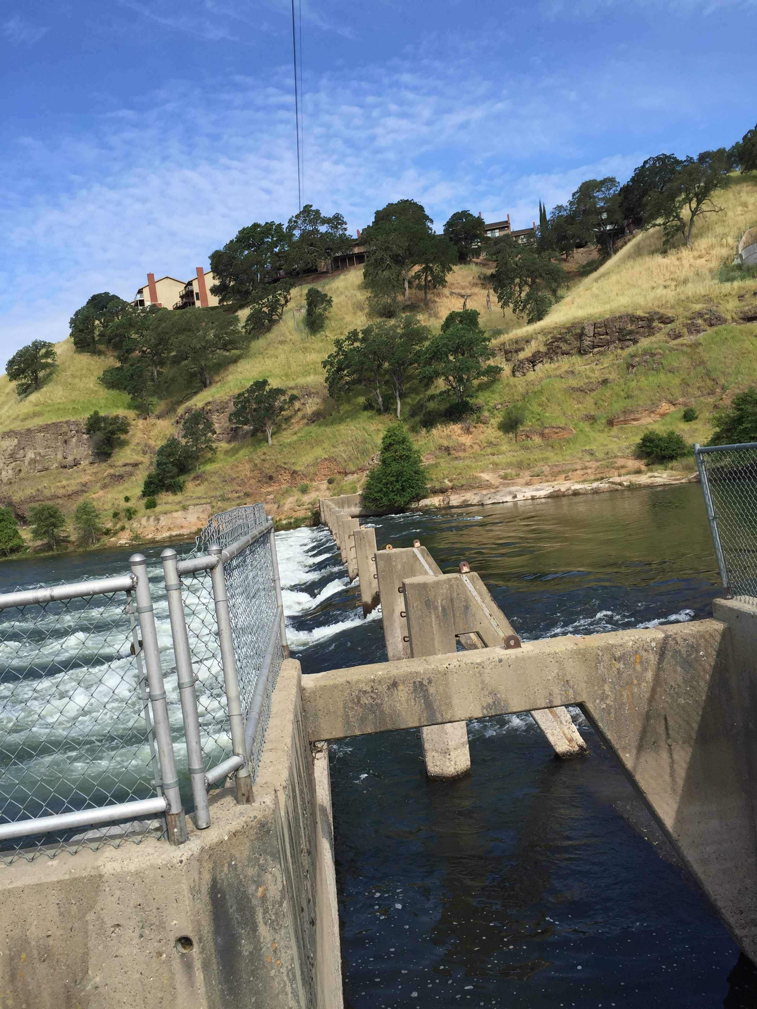
The Weir That Kept Breaking
Between the hatchery and the open river stands a weir -- a low dam fitted with racks and pickets designed to block upstream-migrating adults and funnel them toward the fish ladder. It is essential infrastructure, and it has been a chronic headache. Winter floods in 1963, 1982, 1986, and 1997 eroded the weir's foundation and piers, each time opening holes that allowed salmon to slip past without entering the hatchery. Repairs required reducing river flows for five to nine days, which raised water temperatures, lowered dissolved oxygen, and compressed steelhead into shrinking pockets of viable habitat. A 1999 workshop convened by the Bureau of Reclamation proposed several alternatives, from rebuilding the weir entirely to extending the fish ladder all the way to Nimbus Dam's stilling basin. The final environmental report, published in 2011, evaluated options including a permanent replacement weir that would eliminate the annual cycle of installation and removal that had made the structure so vulnerable.
What the Hatchery Cannot Replace
For all its industrial efficiency, the Nimbus Fish Hatchery raises a question it cannot fully answer: are hatchery fish the same as wild fish? The concern is not abstract. Hatchery salmon grow in raceways where food arrives on schedule and predators do not exist. They emerge fatter, less wary, and behaviorally distinct from their wild-spawned counterparts. When released, they compete with natural fish for the same limited habitat, and the dynamics of that competition -- along with the risks of disease transmission and genetic homogenization -- are subjects of ongoing research. Climate change adds another variable. Warmer temperatures and reduced Sierra snowpack threaten the cold water that both eggs and fry require, prompting the hatchery to install chillers and UV filtration systems. The Nimbus Fish Hatchery was built as a stopgap, a technological fix to keep salmon populations viable while dams served higher priorities. Seven decades in, the stopgap has become permanent, the dams are not going anywhere, and the salmon keep climbing the ladder -- four million second chances, every year, with no end in sight.
From the Air
The Nimbus Fish Hatchery is located at 38.633N, 121.225W on the south bank of the American River, immediately downstream of Nimbus Dam. From the air, the hatchery's rectangular raceways and the diagonal line of the fish diversion weir crossing the river are distinctive features. Sacramento Mather Airport (KMHR) is approximately 5nm south; Sacramento Executive (KSAC) is about 12nm west-southwest. At 1,500-2,500 feet AGL, the weir, fish ladder, and raceways are all visible, along with the recreational trails of the American River Parkway running along both banks.