Nobles Emigrant Trail
William Nobles was looking for gold when he accidentally discovered something more valuable: a shortcut. In 1851, the New York-born carpenter joined Peter Lassen on an expedition through northeastern California, searching for the legendary Gold Lake rumored to have shores glittering with nuggets. The lake did not exist. But when the two men parted company, Nobles continued east and inadvertently scouted a route that would become one of the most important emigrant trails of the 1850s and 1860s. His accidental discovery connected the Applegate Trail in Nevada to the Lassen Trail in California, shaving miles off the journey for thousands of settlers heading west.
The Trail Before Nobles
By the 1840s, the main route to California followed the California Trail along the Humboldt River in Nevada, then the Truckee River, and finally over the Donner Pass. The name alone, immortalized by the tragedy of 1846-47, hinted at the route's dangers. Northern variations existed, including one pioneered by the Applegate brothers in 1846 that connected to Oregon destinations, and Peter Lassen's variant that passed beneath the peak now bearing his name on the way to Sacramento. But these routes remained long and difficult. When Nobles stumbled onto his easier path, he recognized its commercial potential immediately. After returning to California from his failed gold hunt, he charged a party of businessmen $2,000 to guide them along the new route.
From Trail to Federal Road
With his paying customers vouching for the route's usefulness, Nobles returned to Minnesota in 1853 to promote his discovery, marrying in Illinois along the way. The Minnesota legislature was sufficiently impressed to commission him to present the route to Congress in Washington. His lobbying proved remarkably successful. Congress appropriated $300,000 for an expedition to survey and improve the trail, led by Frederick W. Lander, who submitted a favorable report in February 1861. The route received an official name befitting its federal backing: the Fort Kearney, South Pass and Honey Lake Wagon Road. Nobles parlayed his success into political office, winning election to the Minnesota Territorial Legislature. He died in St. Paul in 1876, having transformed a failed treasure hunt into a lasting contribution to westward expansion.
Through Volcanic Country
The section of trail passing through what is now Lassen Volcanic National Park traverses some of California's most dramatic volcanic terrain. Entering from the northeast corner, the trail skirts the edge of Cinder Cone and the Fantastic Lava Beds, that otherworldly expanse of dark, blocky rock created by eruptions in the 1650s. The path continues past Prospect Peak, crosses Badger Flats, and passes through the Devastated Area, the barren zone created by Lassen Peak's May 22, 1915 eruption. It then parallels the modern Lassen Park Road, threading between Chaos Crags and Table Mountain, crossing Sunflower Flat, and climbing over Nobles Pass. The trail finally exits the park's northwest corner near Manzanita Lake, following the edge of the Chaos Jumbles rock avalanche deposits.
Legacy in the Landscape
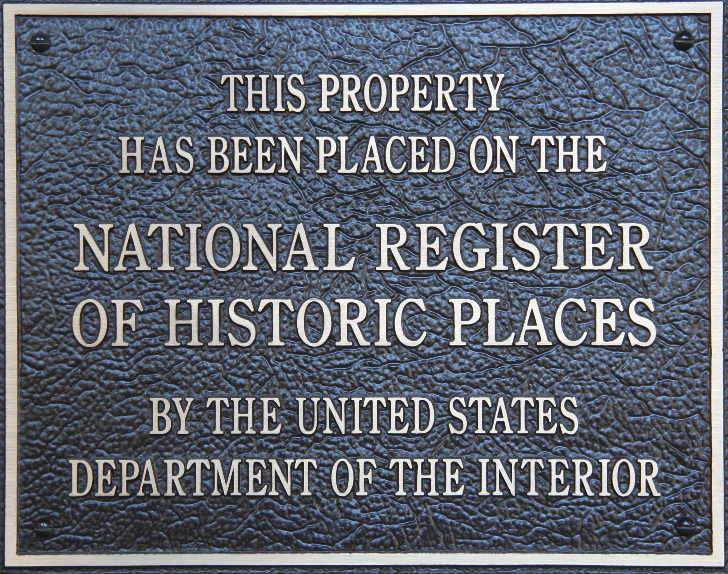
The trail section within Lassen Volcanic National Park was placed on the National Register of Historic Places on October 3, 1975, and is now maintained as a hiking trail. Two California Historical Landmarks commemorate key points along the route. Marker 675 designates a stopping place near present-day Susanville that Nobles established for emigrant parties. Marker 677 marks an earlier moment in the trail's prehistory: the spot where Peter Lassen first glimpsed Honey Lake on October 4, 1850, while still searching for the mythical Gold Lake. The trail remained heavily used until the 1870s, when railroads rendered overland wagon routes obsolete. Today, hikers following the trail through Lassen walk the same path that once carried thousands of hopeful settlers toward California's promises.
From the Air
Located at 40.55N, 121.42W within Lassen Volcanic National Park. The historic trail is not visible from altitude as a distinct feature, but its route can be traced through the landmarks it connects: from Butte Lake and Cinder Cone in the northeast, past Lassen Peak, to Manzanita Lake in the northwest. The Fantastic Lava Beds along the trail's eastern section appear as dark patches contrasting with surrounding forest. Nearest major airport is Redding Municipal (KRDD) approximately 50nm west. The town of Susanville, marked by California Historical Landmark 675, lies to the east of the park near Honey Lake.