Nootka Island
The name itself is a misunderstanding. When European explorers arrived at this 510-square-kilometer island off Vancouver Island's west coast, the Nuu-chah-nulth people gestured and said something the visitors interpreted as a place name. What they were actually saying was closer to "go around, go around" -- likely navigational advice about circling the harbor. The Spanish and later the English applied the word to both the island and the sound, assuming they were naming the landscape after its people. In a way, they were naming it after a conversation neither side fully understood.
A Name That Traveled Far
That linguistic misfire echoed for centuries. Nootka became the name cartographers inscribed on maps from London to Madrid, the name that appeared in treaties between empires, the name that sparked an international crisis. The Nootka Sound controversy of 1789-1794 nearly dragged Britain and Spain into war and ultimately reshaped European claims to the entire Pacific Northwest. All of it carried a label that the local inhabitants never intended as a label at all. In the 1980s, the First Nations peoples of the region chose a collective name for themselves: Nuu-chah-nulth, meaning "along the outside of Vancouver Island." It is a precise geographic self-description, unlike the accident of phonetics that Europeans had imposed two centuries earlier.
The People of the Outside Coast
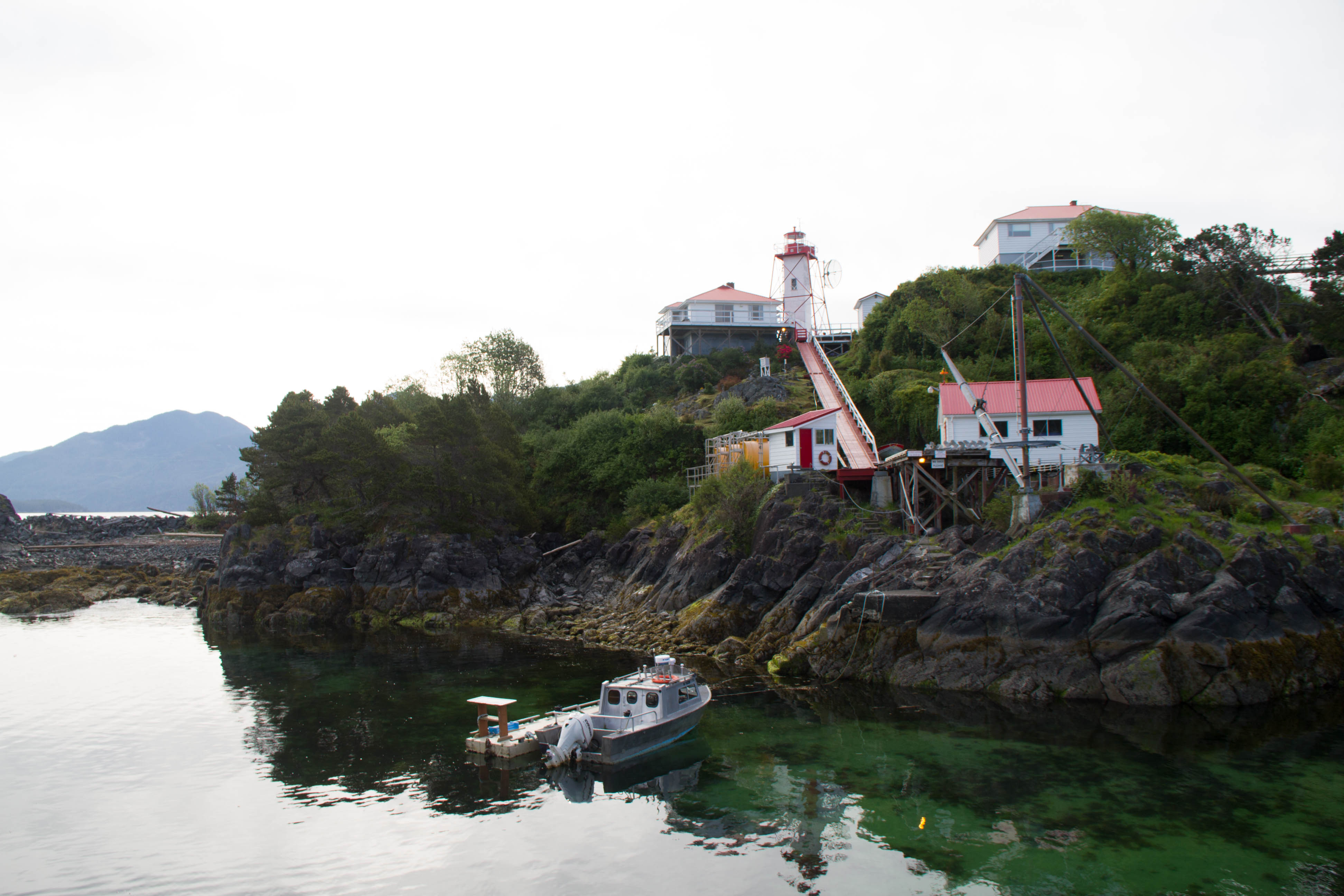
The Nuu-chah-nulth are not a single nation but a group of related peoples bound by language, culture, and coastline. An older collective term was "Aht," meaning "people" in their language -- a suffix woven into the names of their subgroups and settlements. Mowachaht. Kyuquot. Opitsaht. Yuquot, the summer village at Friendly Cove on Nootka Island's southern shore, was home to Chief Maquinna and the Mowachaht people. The suffix "-aht" threads through the geography like a signature, marking places not by their physical features but by the human communities that gave them meaning. Even Yuquot -- "where the wind comes from all directions" -- describes the place through the experience of living there, not the view from a passing ship.
Where Empires Collided
Nootka Island's location made it an unlikely fulcrum of geopolitics. Separated from Vancouver Island by Nootka Sound and its branching inlets, the island sits exposed to the open Pacific -- remote, rain-soaked, and far from any European seat of power. Yet between 1774 and 1795, Spanish, British, and American vessels crowded its harbors. Juan Jose Perez Hernandez sighted its shores in 1774. Captain James Cook anchored at Nootka Sound in 1778, and his crew's accounts of the lucrative sea otter trade drew a rush of fur traders. Spain built Fort San Miguel and the settlement of Santa Cruz de Nuca at Friendly Cove in 1789 -- the first European colony in what is now British Columbia. The three Nootka Conventions that followed dismantled Spain's exclusive claim to the coast and opened the Pacific Northwest to British expansion.
The Fault Beneath
Beneath all this human drama, the island sits on contested ground of a different kind. The Nootka Fault runs through the area, a geological boundary where tectonic plates grind against each other off Vancouver Island's west coast. The island's rugged terrain -- steep, forested, lashed by Pacific storms -- reflects the ongoing tectonic forces that shaped it. This is not gentle coastline. The waters around Nootka Island are exposed to the full force of the open ocean, and the island's western shores absorb swells that have traveled uninterrupted across thousands of kilometers of Pacific. It is a place that demands respect from anyone who approaches it, whether by canoe, sailing ship, or floatplane.
From the Air
Nootka Island sits at approximately 49.743N, 126.769W, off the west coast of central Vancouver Island, British Columbia. At 510 square kilometers, it is the largest island off Vancouver Island's west coast. Look for Nootka Sound separating it from the mainland of Vancouver Island to the east. Friendly Cove (Yuquot) is on the island's southeastern shore. The island is heavily forested and rugged. Nearest airports: Gold River Water Aerodrome (CAP5) approximately 30nm east up Nootka Sound, Comox Valley Airport (CYQQ) roughly 80nm southeast. Best viewed at 3,000-5,000 feet AGL for full island perspective. Expect low cloud, rain, and limited visibility -- this is one of the wettest coastlines in North America.