North Cape (New Zealand)
Most visitors to New Zealand's far north drive to Cape Reinga, where the Tasman Sea meets the Pacific and where, in Maori tradition, the spirits of the dead depart for the ancestral homeland of Hawaiki. They photograph the lighthouse, watch the currents collide, and turn around. Thirty kilometres to the east and three kilometres further north, the actual northernmost point of New Zealand's main islands goes largely unvisited. North Cape -- Otou in Maori -- is closed to the public. Behind an electrified fence erected in 2000, the Department of Conservation manages a scientific reserve protecting a landscape unlike anything else in the country: 1.2 square kilometres of serpentinised peridotite cliffs that support plants found nowhere else on earth.
A Volcano Joined by Sand
North Cape was once an island, formed by a marine volcano that erupted from the seafloor off the tip of the Aupouri Peninsula. Over millennia, ocean currents deposited sand between the volcanic remnant and the mainland, building up a tombolo -- a land bridge of accumulated sediment -- known as Waikuku Flat. The island became a peninsula. James Cook named it North Cape during his 1769-1770 voyage, designating it as one of New Zealand's four Cardinal Capes alongside Cape East, West Cape, and Cape South. The name sometimes refers to the cape overlooking Murimotu Island, sometimes to the island's eastern point, and sometimes to the entire headland stretching five kilometres from Murimotu Island west to Kerr Point. This ambiguity reflects the landscape's refusal to resolve into simple geometry -- headlands, islands, and flats blurring into one another as sand and rock negotiate their boundary.
Two Captains, One Week
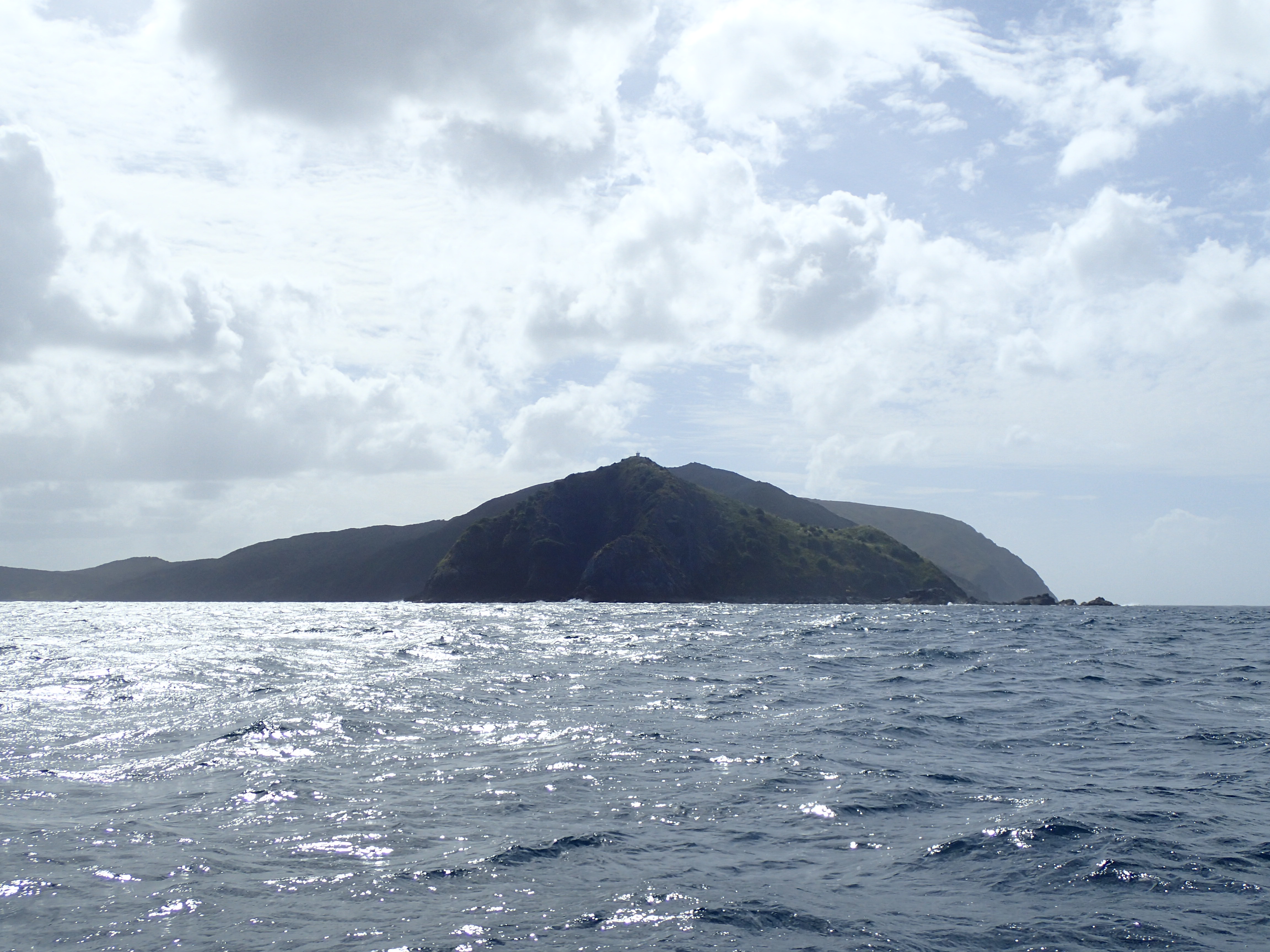
In December 1769, the Surville Cliffs at North Cape's tip received their first European visitor -- though not the one most people associate with New Zealand's discovery. Jean-Francois-Marie de Surville, commanding the French ship St Jean Baptiste, arrived searching for a safe anchorage to care for his sick crew. He found the cliffs and named them days before James Cook, sailing north along the same coast aboard Endeavour, spotted them himself. Two European ships, unknown to each other, converging on the same remote headland within a single week: the encounter that almost happened is more interesting than either arrival alone. The cliffs de Surville saw -- and that Cook charted -- expose rare serpentinised peridotite mafic rocks, dark and dense, the remains of oceanic crust thrust upward by geological forces that predate both captains by hundreds of millions of years.
The Mainland Island
The North Cape Scientific Reserve exists because of what grows on those unusual rocks. The serpentine soils -- high in magnesium and heavy metals, low in calcium and nutrients -- create conditions that most plants cannot tolerate. The species that thrive here have evolved specifically for this hostile chemistry. Pittosporum ellipticum subspecies serpentinum, several species of Hebe, Leucopogon xerampelinus, and Uncinia perplexa -- known as Surville Cliffs bastard grass -- grow here and nowhere else. To protect them, the Department of Conservation constructed an electrified fence in 2000, creating what conservationists call a mainland island: an area on the main landmass that functions like an offshore sanctuary by excluding possums, feral pigs, and the semi-wild horses that roam the surrounding peninsula. The reserve is closed to visitors entirely.
The Land Between
Access to North Cape is complicated by more than conservation policy. The Mokaikai Scenic Reserve covers much of Waikuku Flat, the sandy tombolo connecting the headland to the rest of the Aupouri Peninsula, stretching south to Parengarenga Harbour. This reserve is open to the public, but reaching it requires crossing Maori tribal land, and a permit from the controlling Maori body is needed. Another strip of Maori-owned land lies between Mokaikai and the scientific reserve, including the southern portion of North Cape and the northern edge of the flat. It runs from Kerr Point and Tom Bowling Bay on the north coast across to Tokatoka Point on the west. The layers of jurisdiction -- Crown reserve, tribal ownership, scientific closure -- mean that New Zealand's northernmost mainland point remains one of its least accessible. The plants that evolved to survive hostile soil have, by accident of administrative geography, also been granted something rare in the modern world: genuine solitude.
From the Air
North Cape / Otou (34.42S, 173.05E) is the northernmost point of New Zealand's main islands, at the tip of the Aupouri Peninsula. Kaitaia Airport (NZKT) lies approximately 80 km to the south. From the air, the headland is striking: a volcanic remnant connected to the mainland by the sandy Waikuku Flat tombolo, with the Surville Cliffs forming dark rock faces at the tip. Murimotu Island sits just offshore. Cape Reinga and its lighthouse are visible 30 km to the west. The Parengarenga Harbour stretches to the south. The area is remote with no nearby controlled airspace. Conditions are maritime, often windy, with clear visibility common.