North Cape (Norway)
The cliff just ends. Three hundred and seven meters of dark rock, sheared flat on top as if cut with a blade, dropping straight into water where the Norwegian Sea surrenders to the Barents Sea and the Atlantic becomes the Arctic. This is the North Cape, on the northern shore of the island of Mageroya in Finnmark county, Norway -- not technically the northernmost point in Europe (that distinction belongs to its quieter neighbor Knivskjellodden, which extends 1,450 meters farther north), but the place that has stood as the symbolic edge of the continent since 1553, when English explorer Steven Borough sailed past aboard the Edward Bonaventure and gave it a name.
The Naming and the Myth
Borough was searching for the Northeast Passage when he passed the cape that summer of 1553, and his naming stuck. By the 1870s, regular coastal steamer routes from Germany to northern Norway had turned the cape into a destination, and Thomas Cook & Son began arranging tours to Nordkapp as early as 1875 -- making it one of the earliest organized tourist sites in the Arctic. The appeal was, and remains, elemental: the midnight sun visible from 14 May to 31 July, reaching its lowest point between 12:14 and 12:24 AM without ever dropping below the horizon. Visitors stand on the plateau and watch the sun trace a circle above the sea. There is nothing between them and the North Pole but 2,102 kilometers of open water and ice.
Geography of Extremes
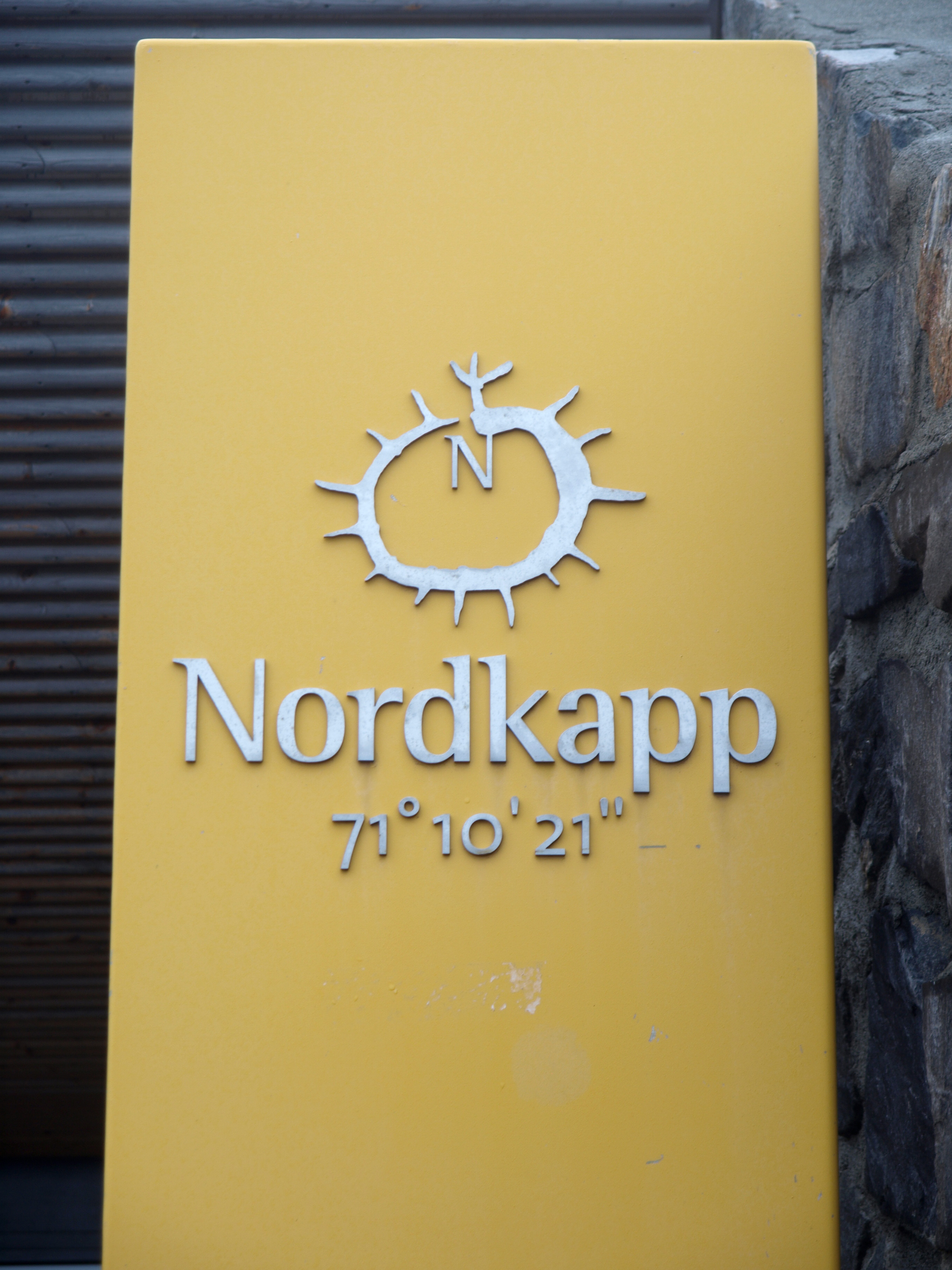
The North Cape sits at 71.17 degrees north latitude, on an island connected to the mainland by the North Cape Tunnel, a dramatic undersea road passage. Nordkapp is frequently but inaccurately called Europe's northernmost point. Knivskjellodden, a rocky spit just west of the cape, actually extends farther north, reachable only by a hiking trail. Both points are on an island. The northernmost tip of mainland Europe lies at Cape Nordkinn, about 70 kilometers to the east near the village of Mehamn. And the true northernmost point of European territory -- depending on how you draw continental boundaries -- sits hundreds of kilometers farther north in either Russia's Franz Josef Land or Norway's Svalbard archipelago. But none of these geographical corrections has diminished the North Cape's hold on the imagination. The cliff is simply more dramatic than any of its rivals.
Where Two Oceans Collide
The North Cape marks the boundary where the Norwegian Sea, an arm of the Atlantic, meets the Barents Sea, the western edge of the Arctic Ocean. This collision of water masses shapes everything about the place -- the weather, the wildlife, the unpredictable fog that frequently blankets the plateau (it sits above the common cloud base), and the currents that have drawn fishing communities to these shores for centuries. In winter, heavy snow and wind can close the final stretch of European route E69, which terminates at the cape and holds the distinction of being the northernmost public road in Europe. Before the road was made passable year-round with convoy escorts, E69 was the only winter-closed E-route on the continent.
Endurance Sports at the Edge
The cape's status as a symbolic endpoint has made it irresistible to endurance athletes. The NorthCape4000 bicycle race covers approximately 4,200 kilometers to finish here. The 2009 Trans Europe Foot Race began in Bari, Italy and ended at the cape after 4,485 kilometers. Norge Pa Langs, a classic 2,533-kilometer ski route from Lindesnes at Norway's southern tip to Nordkapp, represents perhaps the most Scandinavian way to arrive: on cross-country skis, the length of an entire country. The E1 European long-distance path, stretching 7,114 kilometers from the Mediterranean to the Arctic, begins -- or ends, depending on your direction -- right here on the plateau. In 2014, the first stage of the Arctic Race of Norway cycling event was held on the cape itself, with riders finishing atop a cliff above the sea.
The Plateau Today
North Cape Hall, built in 1988, sits on the flat top of the cliff and houses a cafe, restaurant, post office, souvenir shop, museum, and cinema. Cruise ships from the Hurtigruten coastal service and international liners dock at Honningsvag, 33 kilometers to the southeast, and buses ferry passengers to the plateau. The nearest airport, Honningsvag Valan, connects to Tromso. The experience divides visitors neatly: those who arrive by bus, photograph the globe monument, buy a postcard, and leave, and those who come under their own power -- by bicycle, on foot, on skis -- and stand on the edge knowing they earned it. Either way, the view is the same. Open sea, open sky, and the knowledge that the next land north is ice.
From the Air
Coordinates: 71.17°N, 25.78°E on the northern coast of Mageroya island, Finnmark, Norway. The North Cape plateau is unmistakable from the air: a dramatic flat-topped cliff dropping vertically to the sea on the island's northern edge. Nearest airport: Honningsvag Valan Airport (ENHV), with connections to Tromso Airport (ENTC). European route E69 is visible as a thread of road crossing the island to the cape. Cruise ships are frequently visible in the waters off Honningsvag. The midnight sun is visible from mid-May to late July.