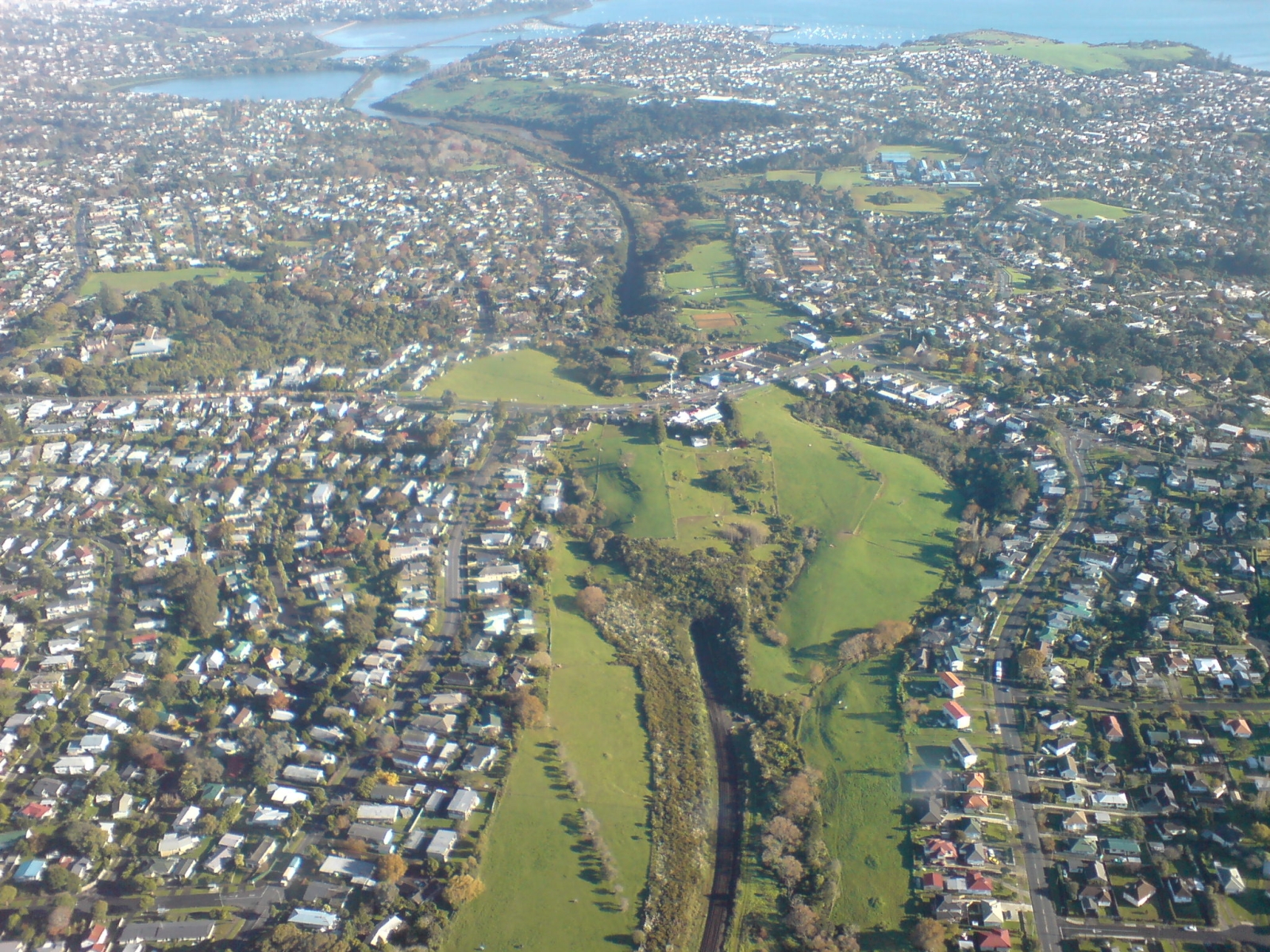
North Island Main Trunk
On 14 February 1909, the first express train left Auckland for Wellington, an overnight journey scheduled to take 19 hours and 15 minutes. It carried sleeping cars, day coaches with reclining seats, and a dining car that transferred mid-route to avoid hauling heavy catering equipment over the steep central grades. The North Island Main Trunk railway had taken 36 years to build, starting from both ends and inching toward a junction in the volcanic interior. The last spike was driven on 6 November 1908 at Manganui-o-te-Ao, near Pokaka, by Prime Minister Joseph Ward. When the two railheads finally met, the line stretched 682 kilometres through terrain so forbidding that engineers had to invent new solutions for nearly every section: spirals, viaducts, tunnels, and grades pushed to the absolute limit of what steam locomotives could climb.
Building from Both Ends
Auckland's first railway, a 13-kilometre line to Onehunga, opened in 1873, built by the contracting firm Brogdens. The track crept south into the Waikato, reaching Mercer by 1875 and Te Awamutu by 1880. Then it stopped. An economic downturn froze construction for five years, and the King Country beyond Te Awamutu was not accessible to Europeans until 1883, when negotiations with local Maori opened the way. From the south, the Wellington and Manawatu Railway Company built its section between 1881 and 1886, connecting the capital to Palmerston North. The Longburn to Marton section had already been opened in 1878 as part of a line linking the ports of Foxton and Whanganui. The central section, the section everyone dreaded, began construction on 15 April 1885 when paramount chief Wahanui of Ngati Maniapoto turned the first sod outside Te Awamutu.
Through the Volcanic Heart
The central North Island presented the most formidable engineering challenges in New Zealand's railway history. The terrain rose too steeply for a direct route between the Whanganui River valleys and the North Island Volcanic Plateau. Four route options were surveyed before the Minister of Public Works chose the present corridor in 1884, and when surveyors realized just how difficult that route was, two more alternatives were studied in 1888. The solution that emerged included the famous Raurimu Spiral, where trains loop, tunnel, and hairpin their way up 132 metres over 6.8 kilometres, covering a straight-line distance of only two kilometres. The ruling gradient was set at 1 in 50, the steepest grade considered workable for heavy steam trains. Much of the initial construction was temporary, with unballasted track and vertical-sided cuttings through unstable country north of Taonui.
Steel Backbone, Electric Future
The idea of electrifying the NIMT surfaced as early as 1918, when electrical engineer Evan Parry argued that the network was straining under ever-increasing freight volumes and that cheap hydro-electricity in the central North Island could power a conversion from steam. The Wellington to Paekakariki section was electrified at 1500 volts DC in 1940, largely to prevent smoke problems in the 4.3-kilometre tunnel on the Tawa Flat deviation. In 1988, the 411-kilometre central section between Palmerston North and Hamilton was electrified at 25 kilovolts AC as part of the government's Think Big energy program. The economics were undermined when oil prices fell in the 1980s, and the final cost of 250 million dollars far exceeded the projected 100 million. But the capability was dramatic: where a diesel locomotive could haul 720-tonne trains at 27 kilometres per hour up the Raurimu Spiral, an electric locomotive could haul 1,100-tonne trains at 45 kilometres per hour.
Viaducts, Deviations, and the Long View
The NIMT has been described as an engineering miracle, and the infrastructure bears that out: 352 bridges and 14 tunnels along its length, with five viaducts standing over 70 metres high. Between 1973 and 1981, the major Mangaweka deviation replaced aging tunnels in unstable terrain with three new viaducts crossing the Rangitikei and Kawhatau rivers. The curved metal viaduct at Hapuawhenua was replaced with a modern concrete structure during the 1980s electrification upgrades, though the original was preserved as a heritage attraction. In 1980, the 1880s Poro-O-Tarao Tunnel was replaced to allow clearance for large high-cube shipping containers. The line continues to evolve. In 2024, electrification was extended from Papakura to Pukekohe in the Auckland suburban network, leaving an 87-kilometre gap to the central electrified section at Te Rapa that may one day close, completing an electric spine the length of the North Island.
From the Air
The North Island Main Trunk runs 682 km from Wellington (NZWN) to Auckland (NZAA), tracking through the centre of the North Island. The most dramatic sections from the air are the Raurimu Spiral near 39.12S, 175.40E, where the track loops visibly across the hillside; the Makatote Viaduct (one of the tallest rail structures in the Southern Hemisphere); and the Mangaweka deviation viaducts crossing the Rangitikei River gorge near Mangaweka. The line passes through Tongariro National Park territory with Mount Ruapehu, Mount Ngauruhoe, and Mount Tongariro visible to the east. Best viewed at 3,000-6,000 feet AGL. Major airports along the route include Ohakea (NZOH), Palmerston North (NZPM), Hamilton (NZHN), and Auckland (NZAA).