North Star Mine and Powerhouse
In 1878, a man named Lester Pelton walked into the Miners Foundry in Nevada City carrying a strange contraption about the size of a car tire. The device, which used cups mounted on a wheel to harness water's energy, would revolutionize mining across the Sierra Nevada. Seventeen years later, at the North Star Mine on Lafayette Hill, engineer Arthur De Wint Foote installed a 30-foot version of Pelton's invention, the largest tangential water wheel in the world. That wheel ran continuously for more than 30 years, generating compressed air that powered the entire mining operation and transforming the North Star into the second-largest gold producer of California's Gold Rush.
The French Lead
The story begins in the fall of 1851, when the Lavance Brothers and nine other Frenchmen discovered the vein they called the French Lead. They formed the Helvetia and Lafayette Gold Mining Company, but financial troubles forced a sheriff's sale in 1858 for just $8,000. The property changed hands again in 1860 for $15,000, and by 1867 the North Star Gold Mining Company was incorporated. Competition among the mines of Grass Valley was fierce, forcing operations to open, close, and reopen as owners struggled to solve the fundamental problem of power. Many mines depended on surrounding forests for firewood to generate steam, a practice that was stripping the Sierra foothills bare.
The Cornish Connection
Three-quarters of the seventy men who worked the North Star's mine and mill had emigrated from Cornwall, England, where depressed tin mines had left them without work. These Cornish miners brought more than their expertise in hard rock mining. They introduced the Cornish pump to the Sierra Nevada and, perhaps more importantly, the Cornish pasty, the handheld meat pie that became the standard lunch for California miners. The Cornish influence shaped not just the North Star but the entire Grass Valley Gold District, leaving a cultural legacy that outlasted the gold itself.
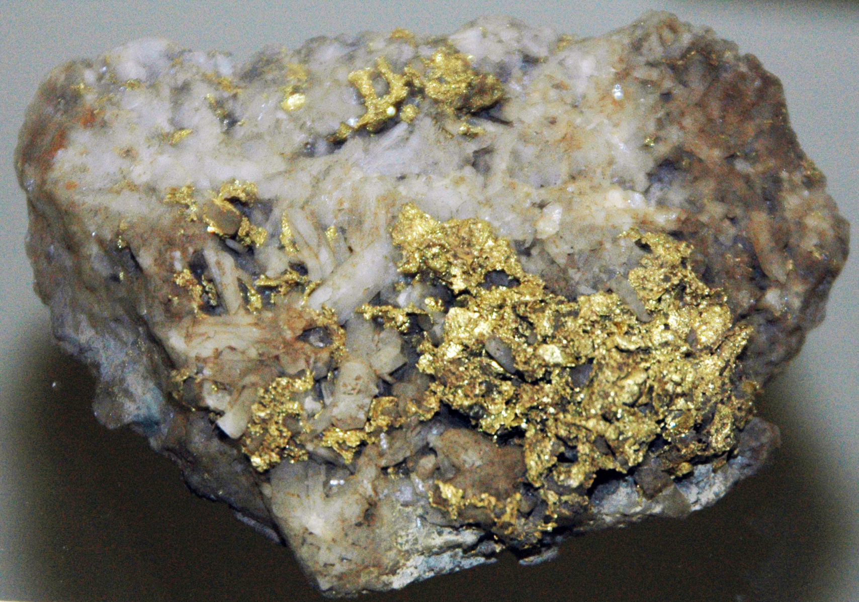
A Fortune in Quartz
The North Star vein ran east to west through greenstone, dipping about twenty-three degrees to the north. Miners followed it down an incline shaft that eventually reached a vertical depth making it the deepest mine in the Grass Valley Gold District. The vein varied from a few inches to several feet thick, and the gold grew richer as the shaft descended. Ore was hauled up by tram wagons pulled by wire rope along the incline. In 1901, the Central vertical shaft finally reached the vein at 1,630 feet, and by 1927 it had descended to 3,700 feet. The North Star eventually consolidated with the neighboring Empire Mine, and in 1928 Newmont Mining Corporation purchased both to form Empire-Star Mines, Ltd.
The Powerhouse Revolution
Arthur De Wint Foote designed the North Star Powerhouse in 1895 as the first complete plant of its kind. The 30-foot Pelton wheel, fed by water under tremendous pressure, generated compressed air that flowed through pipes to power drilling equipment, hoists, and pumps throughout the mine. No steam engines belching smoke, no forests sacrificed for firewood, just the clean power of falling water converted to air pressure. The California Historical Landmark plaque at the site commemorates this engineering achievement. Today, the original Pelton wheel still turns, assisted by an electric motor, inside a museum operated by the Nevada County Historical Society.
War and Silence
The U.S. War Production Board forced the Empire-Star to shut down during World War II, diverting labor and resources to the war effort. When peace returned, the mining industry found itself without the skilled workers who had descended into the Sierra Nevada's depths for generations. By 1951, a shortage of experienced miners forced suspension of operations in the deeper portions of the mine. The powerhouse fell silent, but its preservation ensures that visitors can still see the wheel that Lester Pelton first demonstrated in that Nevada City foundry, scaled up to industrial proportions and frozen in time as a monument to California's golden age.
From the Air
North Star Mine and Powerhouse is located at 39.194N, 121.076W on Lafayette Hill, just south of Grass Valley, California. The site is approximately 1 mile west of the Empire Mine State Historic Park, providing two landmarks in close proximity. Look for the historic powerhouse structure near Wolf Creek along Auburn Road. Nearby airports include Nevada County Airport (KGOO) approximately 4 miles north and Auburn Municipal Airport (KAUN) 20 miles south. Best viewing altitude is 2,000-3,000 feet AGL in clear conditions.