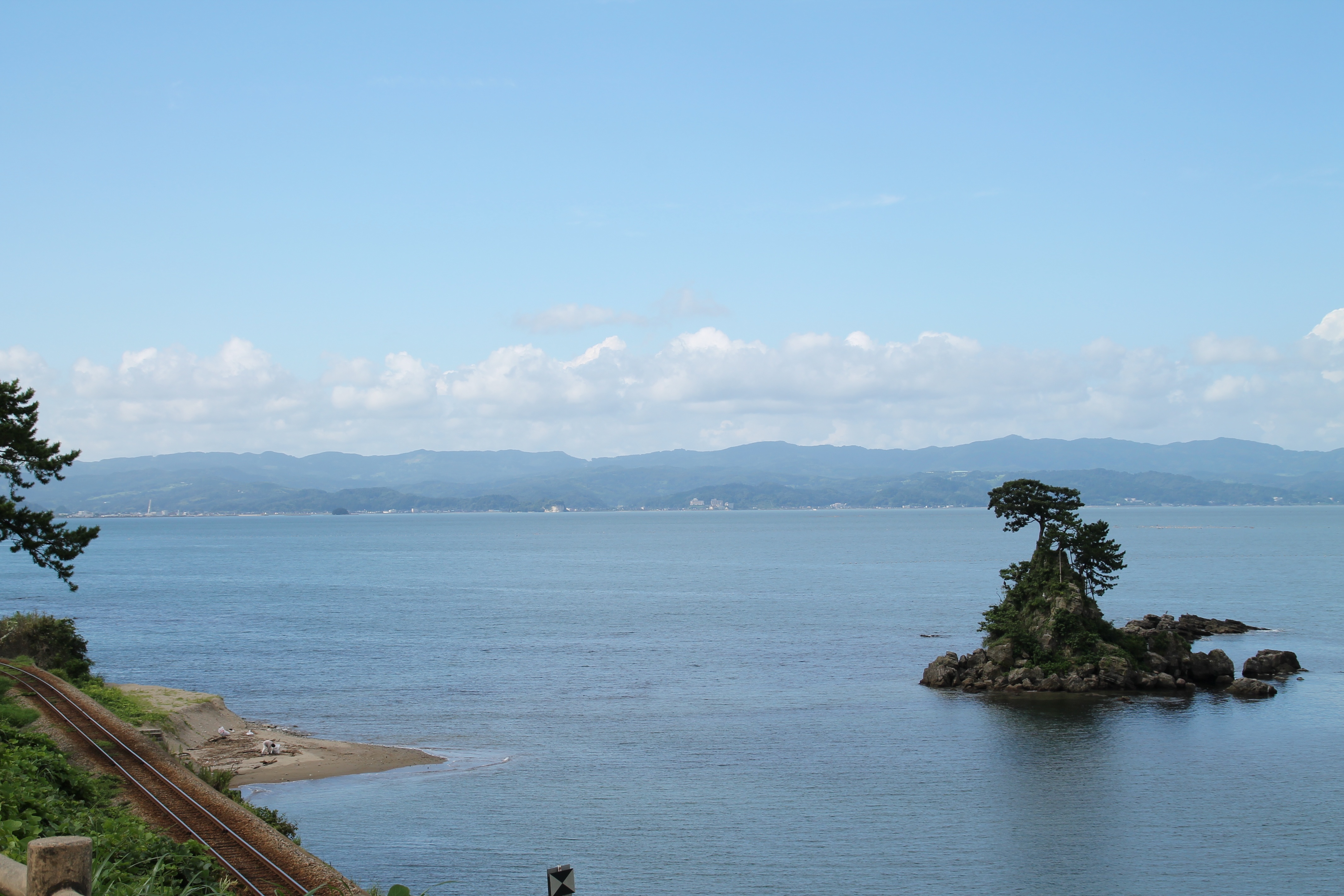
Noto Peninsula: The Big Cape Where Old Japan Endures
The name itself is ancient. Linguist Alexander Vovin traces "Noto" to the Ainu language, where it means simply "cape" or "big cape." The kanji characters chosen to write it -- 能 (ability) and 登 (ascend) -- are ateji, borrowed sounds with no connection to the word's original meaning. That layering of identities runs deep on the Noto Peninsula, a blade of mountainous land that juts north from Ishikawa Prefecture into the Sea of Japan. This is where the Ainu once lived, where medieval warlords built mountain castles, where fishermen still dry squid on bamboo racks in the salt wind, and where rice terraces cascade down hillsides to the sea in patterns unchanged for centuries. In 2011, the United Nations designated Noto's farming and fishing traditions as a Globally Important Agricultural Heritage System -- the first such designation in Japan. Then, on New Year's Day 2024, the earth beneath the peninsula lurched, and everything changed.
Three Notos, One Peninsula
Locals divide their peninsula into three distinct regions. Kuchi-Noto, the "Entrance of Noto," forms the southern base where the land connects to the Ishikawa mainland around Hakui and Kahoku. Naka-Noto, the "Middle," centers on Nanao City and the hot spring resort of Wakura Onsen, where Nanao Bay cuts into the peninsula's inner coast. Oku-Noto, "Deep Noto" or "North Noto," stretches to the peninsula's tip at Suzu City, encompassing Wajima -- famous for its lacquerware -- and the remote fishing villages along the outer coast. Each region has its own character: the south is more connected, more urban; the north is wild, cliffy, and fiercely traditional. The Noto Satoyama Kaido highway runs from Kanazawa to Anamizu, but beyond that point, the roads narrow and the modern world thins out.
Living Heritage on the Terraces and the Shore
The UN's GIAHS designation recognized something specific about Noto: its satoyama and satoumi -- the interconnected mountain and coastal ecosystems shaped by centuries of human use. In the hills, terraced rice paddies step down toward the sea, maintained by farming methods passed through generations. In the forests, charcoal-makers still practice traditional kiln techniques. Along the coast at Suzu, salt-makers use the agehama-shiki method found nowhere else in Japan, hauling seawater by hand and throwing it over sand beds to concentrate the brine before boiling it in cauldrons. In Wajima, lacquerware artisans apply dozens of layers of natural lacquer to wood harvested from local forests, creating the Wajima-nuri ware that has been a marker of Japanese craftsmanship for centuries. These are not museum demonstrations. They are working traditions that sustain the communities practicing them.
A Peninsula on Screen
Filmmakers have long been drawn to Noto's dramatic coastline and the social textures of its isolated communities. Yoshitaro Nomura's 1961 film noir Zero Focus used the peninsula's cliffs and coastal roads as the backdrop for a mystery about hidden identities. Hirokazu Koreeda set his 1995 film Maborosi in a Noto fishing village, using its gray seas and quiet routines to explore grief and the passage of time. Shohei Imamura chose the peninsula for his final film, Warm Water Under a Red Bridge, released in 2001. And in 2014, Suzu -- the small city at Noto's northern tip -- became the setting for Saihate Nite. What draws directors here is the same thing that draws travelers: a sense of remoteness and self-containment, a place that feels governed by its own rhythms rather than those of the wider world.
The Ground Shifts
Noto has always been seismically active. A magnitude 6.9 earthquake shook the peninsula on March 25, 2007, causing one death and at least 170 injuries. Between 2018 and 2022, the northeastern tip experienced a swarm of more than 20,000 earthquakes, including 10 above magnitude 4. A magnitude 6.3 quake struck in May 2023. Then came January 1, 2024. A magnitude 7.5 earthquake -- the most powerful to hit this region in modern history -- killed more than 200 people, collapsed buildings across Wajima and Suzu, triggered fires and landslides, and severed roads and rail connections throughout the peninsula. The damage was compounded by the region's remoteness: the same geographic isolation that preserved Noto's traditions made rescue and recovery agonizingly slow. Recovery is ongoing, with communities rebuilding alongside the ancient rhythms of salt, lacquer, and terraced rice that have defined this peninsula for centuries.
From the Air
Located at approximately 37.20°N, 136.90°E, the Noto Peninsula extends roughly 100 kilometers north-northeast from the Ishikawa mainland into the Sea of Japan. From altitude, the peninsula's distinctive shape -- a narrow, mountainous finger of land -- is unmistakable. The outer (western) coast features dramatic sea cliffs, while the inner (eastern) coast along Nanao Bay and Toyama Bay is more sheltered. Noto Satoyama Airport (RJNW) is located mid-peninsula between Anamizu and Wajima. Komatsu Airport (RJNK) serves the southern Ishikawa region approximately 60 nautical miles to the southwest. The terraced rice paddies of Shiroyone Senmaida on the outer coast near Wajima are visible from lower altitudes as distinctive green-and-brown stepped patterns descending to the sea.