Numto
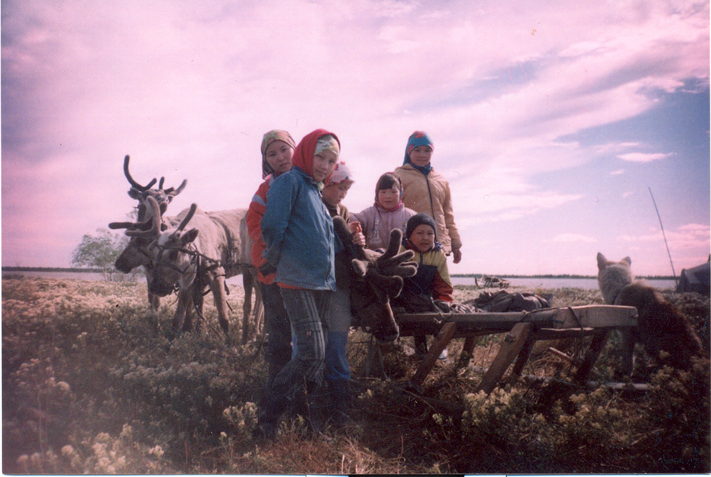
In the Khanty language, Num-To means "the lake of God." The name is not metaphor. For the indigenous Khanty people of Western Siberia, this freshwater lake in the Khanty-Mansi Autonomous Okrug is genuinely sacred -- a place where the spiritual and physical worlds overlap, where shamans have conducted rituals for centuries, and where a small heart-shaped island near the western shore serves as one of the holiest sites in their cosmology. That an oil company wants to drill here is not incidental to the story. It is the story.
Shaped by Ice, Claimed by Faith
Numto is a thermokarst lake, formed as permafrost melted and the ground subsided, leaving a roughly semicircular basin among the countless smaller lakes of the Siberian Uvaly uplands. The landscape surrounding it is sparse larch taiga and swamp, a waterlogged world where solid ground is the exception rather than the rule. Located in Beloyarsky District, at the very northern edge of the Khanty-Mansi Autonomous Okrug near the border with Yamalo-Nenets, Numto sits in a region so remote that the village bearing its name -- part of the Kazym rural settlement -- is one of the most isolated communities in all of Russia. The lake's sacred heart-shaped island, visible from the shore, has drawn Khanty shamans and pilgrims for generations, a place where offerings are made and the spirits of the land are consulted.
The Kazym Rebellion's Shadow
Numto's history carries a wound. In the early 1930s, as Soviet collectivization swept through Siberia, the Khanty people of the Kazym region rose up in what became known as the Kazym rebellion. The indigenous population resisted forced settlement, the confiscation of reindeer herds, and the suppression of their spiritual practices. The revolt was crushed, but Numto remained a symbol of Khanty resistance -- a place that Soviet authority could reach geographically but never fully claim culturally. The lake continued to hold its meaning for the people who had lived beside it long before borders were drawn on Moscow's maps.
Oil at the Gates
In 1997, a protected area of nearly 600,000 hectares was established around the lake, encompassing territory in both Beloyarsky District and the adjacent Nadymsky District of Yamalo-Nenets. The Numto Natural Park was meant to safeguard the ecosystem and the Khanty way of life. But the park sits atop some of Western Siberia's richest oil and gas deposits, and the protections have been contested ever since. Drilling operations have pressed against the park's boundaries, and the zoning has been revised to accommodate exploration. For the Khanty, the threat is existential: the lake is not a cultural artifact to be preserved behind glass. It is a living center of their spiritual practice, and industrial activity would sever a connection that collectivization, rebellion, and decades of assimilation failed to break.
Where the Taiga Breathes
From the air, the landscape around Numto resembles a shattered mirror -- thousands of small lakes glinting between dark corridors of larch and pine, the whole surface pockmarked by thermokarst depressions and threaded with sluggish streams. The lake itself stands out by its size and its distinctive semicircular shape, the heart-shaped island a dark spot near its western end. In winter, everything vanishes under snow, and the only sign of human presence is the thin column of smoke from the village. In summer, the taiga buzzes with insects, and the light lingers for nearly the entire day at this latitude of 63 degrees north. It is a place where silence has weight, where the land has not yet been rearranged to serve someone else's purpose.
From the Air
Numto lake sits at approximately 63.52N, 71.45E in the flat, lake-studded terrain of the Siberian Uvaly. From cruising altitude, the semicircular lake is distinguishable among the many smaller thermokarst lakes in the area. The heart-shaped island is visible at lower altitudes. No nearby airports serve the area directly; the nearest airfields are in Beloyarsky (USHB) to the southwest and Nadym to the north. Expect low visibility in winter and heavy mosquito season in summer months.