Ohrid
The name once was Lychnidos -- the city of light. Greek documents from 353 BCE record it that way, and anyone who has watched the late afternoon sun turn Lake Ohrid into hammered gold understands why. Only in 879 CE did the town adopt its current name, probably from "vo hridi," meaning "in the cliff," a reference to the rocky spur where the oldest quarter clings above the water. The lake beneath is older than nearly any body of fresh water on Earth -- over three million years old, one of only a handful of ancient lakes on the planet. Ohrid sits on its northeastern shore in southwestern North Macedonia, a UNESCO World Heritage site since 1980, where the deep time of geology and the layered time of human civilization press together so tightly you can feel both at once.
Where Alphabets Were Born
At the end of the 9th century, Saints Clement and Naum arrived in Ohrid with a mission from the Bulgarian king Boris I. They were students of Cyril and Methodius, the brothers who had devised the Glagolitic script for the Slavic languages. In Ohrid, Clement and Naum founded what is often called the first Slavic university, teaching literacy and theology to thousands. It was here that the Cyrillic alphabet took shape -- the writing system now used across Russia, Serbia, Bulgaria, and a dozen other nations. The Plaoshnik archaeological site, where Clement taught, overlooks the lake from a gentle rise. Nearby, the Church of Saints Clement and Panteleimon was rebuilt on medieval foundations, its red-brick walls warm against the blue water below. The idea that a script used by hundreds of millions of people was refined on this quiet hillside gives Ohrid a weight that its small-town streets might not otherwise suggest.
A Fortress and Its Empires
Tsar Samuel's Fortress crowns the hill above Ohrid, its crenellated walls tracing the ridgeline like a stone spine. The first fortifications here date to the 5th century BCE, but what survives is largely 10th-century work from Samuel's reign, when Ohrid served briefly as the capital of the First Bulgarian Empire. From the ramparts, the view reaches across the lake to the Albanian mountains, the water so clear that the town's old nickname feels earned again. Below the fortress, the old town descends through narrow lanes flanked by whitewashed houses that grew upward and outward over centuries. Ottoman-era Christians, confined within the walls and forbidden to build outside them, solved the space problem by bridging streets with upper stories, creating tunnels of shadow beneath homes that still lean toward each other across cobblestone paths. Every house faces the lake, painted white to deflect the fierce Macedonian sun.
Churches by the Hundred
Ohrid once claimed 365 churches -- one for every day of the year, according to local tradition. The number is almost certainly an exaggeration, but not by as much as you might think. The Church of St. John at Kaneo, perched on a cliff directly above the lake, is perhaps the most photographed building in all of North Macedonia: a small 13th-century chapel whose stone walls and terra-cotta roof seem to grow from the rock itself. The Church of Saint Sophia, converted to a mosque during Ottoman rule and later restored, houses 11th- through 13th-century frescoes that rank among the finest surviving examples of Byzantine painting. The Ancient Theatre, carved into the hillside during the Hellenistic period and later used by Romans for gladiatorial contests, sits in the open air partway up the slope, still hosting performances on summer evenings. Walking from one site to the next takes minutes; Ohrid's sacred and secular monuments are compressed into a space small enough to cover on foot in an afternoon.
The Living Lake
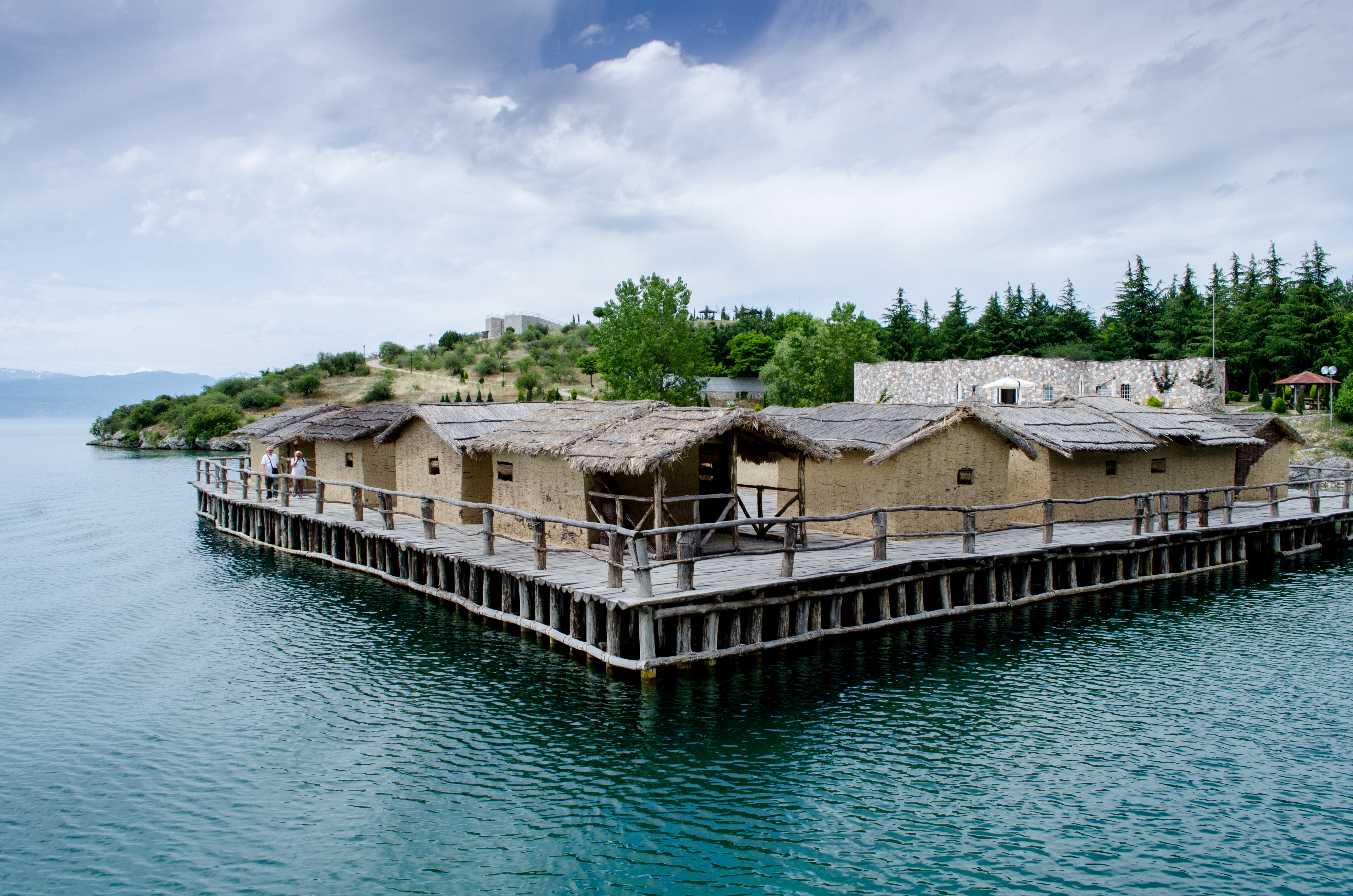
Lake Ohrid is one of Europe's deepest lakes, reaching 288 meters, and among its most biodiverse. Its extreme age -- comparable to Lake Baikal and Lake Tanganyika -- has allowed dozens of endemic species to evolve in isolation. The Ohrid trout, once abundant enough to support a commercial fishing industry, remains the lake's signature creature, though conservation measures now protect its dwindling numbers. Along the eastern shore south of town, the landscape shifts from beach villages to rocky coves backed by the slopes of Galicica National Park. The village of Trpejca, wedged between cliffs, has kept much of its old fishing-village character: a narrow beach, clean water, small boats for hire. At the southern end of the shore, Saint Naum Monastery sits at the mouth of springs that feed the lake, the water welling up through sand with an eerie, glass-clear visibility. Daily boats connect Ohrid to Saint Naum, the ride taking about an hour each way along a coast that shifts from developed to wild and back again.
A Balkan Summer by the Water
In July and August, Ohrid transforms. The population swells with vacationers from across the Balkans, drawn to the town's beaches, lakeside cafes, and the summer festival that fills the Ancient Theatre with music and drama. Saint Clement of Ohrid Street, the old bazaar's main artery, becomes a slow-moving river of tourists browsing shops and pausing for Turkish coffee. By day, swimmers claim spots on the pebbly beaches that ring the town; by night, the waterfront promenade fills with families, couples, and the sound of live music drifting from restaurant terraces. Despite the crowds, Ohrid retains a quality that larger resort towns have lost. The scale stays human. The mountains press close, the lake stays cold and clear, and the fortress on the hill watches over everything exactly as it has for a thousand years.
From the Air
Located at 41.12°N, 20.80°E on the northeastern shore of Lake Ohrid in southwestern North Macedonia. The lake is unmistakable from altitude -- a large, deep-blue body of water straddling the North Macedonia-Albania border. Ohrid St. Paul the Apostle Airport (LWOH) is approximately 10 km northwest of the city. Approaching from the north, Galicica National Park's ridge separates Lake Ohrid from Lake Prespa to the east. Best viewed at 5,000-8,000 ft AGL for the full lake-and-town panorama.