Okadaira Shell Mound
In 1879, two students from Tokyo Imperial University -- Tadajiro Sasaki and Isao Iijima -- traveled to a plateau overlooking Lake Kasumigaura and began digging. They had just finished training under Edward S. Morse, the American naturalist who had electrified Japanese academic circles with his excavation of the Omori Shell Mounds near Tokyo. At Okadaira, Sasaki and Iijima conducted the first archaeological excavation ever led by Japanese scholars on Japanese soil. What they uncovered was not merely a heap of discarded shells. It was a ring-shaped village, seven thousand years in the making, that would reshape the understanding of the Jomon people who inhabited these coasts when the sea levels stood five to six meters higher than today.
When the Sea Came Inland
Between roughly 4000 and 2500 BC, during the early to middle Jomon period, the climate was approximately two degrees Celsius warmer than the present. Sea levels rose, flooding low-lying portions of the Kanto plain and turning the area around Lake Kasumigaura into a network of bays and islands. The plateau where Okadaira sits -- 20 to 30 meters above the current lake surface -- was likely an island during this period, surrounded by shallow, shellfish-rich waters. The Jomon people who settled here lived in pit dwellings dug into the earth, their daily refuse accumulating in mounds that ringed the settlement. Over thousands of years, from the early to the late Jomon period, those discarded shells, bones, and broken pottery compressed into layers that would eventually become one of the largest shell middens in Japan.
Reading the Refuse
The midden at Okadaira is not a single mound but a constellation of eight large and small shell deposits scattered across a tongue-shaped plateau measuring roughly 250 meters east to west and 150 meters north to south. The shell layers are arranged in a ring pattern, tracing the perimeter of the ancient village. Within them, archaeologists have recovered Jomon pottery, clay figurines known as dogu, stone tools, and bone fishhooks -- the toolkit of a people who fished the inland bay, hunted deer and boar in the surrounding forests, and gathered shellfish from tidal flats. Fish bones from inner-bay species confirm the marine environment, while bones of rabbits, boars, and deer speak to the forested uplands that bordered the water. Each stratum of shell and earth is a page in a record that predates writing in Japan by thousands of years.
Saved by a Bubble
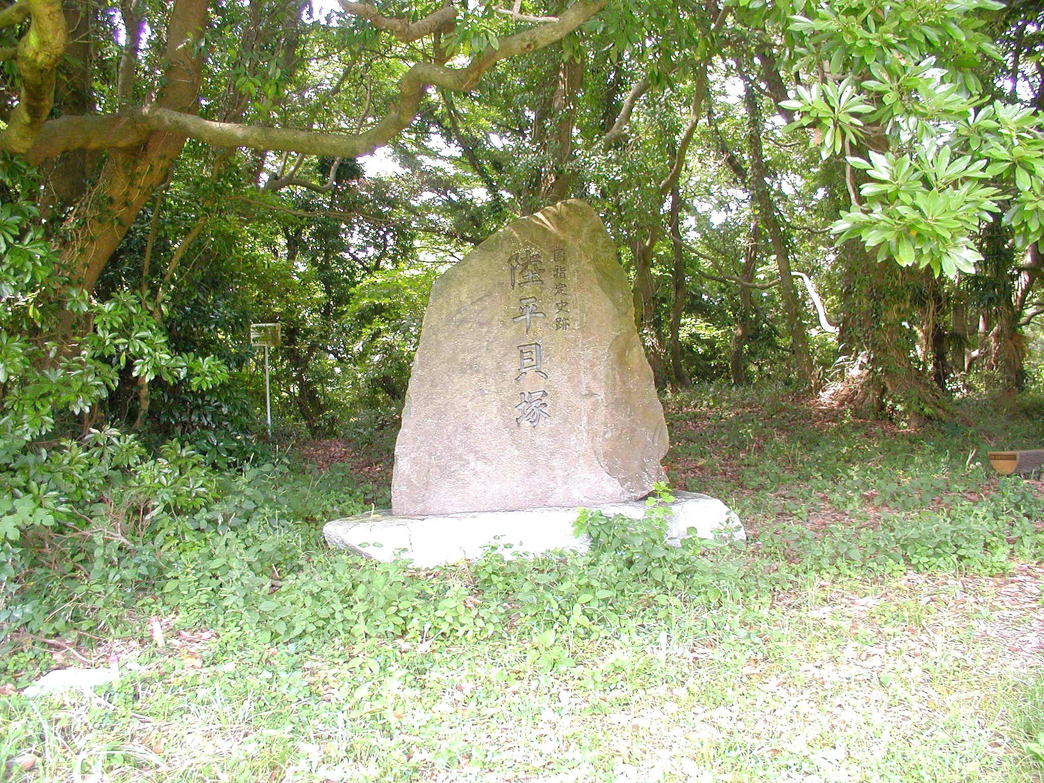
For all its scientific importance, Okadaira nearly vanished under concrete. In the 1970s, a real estate developer acquired lakeshore land and announced plans for a resort and residential complex, promising that "development and preservation" could proceed in parallel. Bulldozers and backhoes threatened to erase seven millennia of human habitation for vacation condominiums. Then Japan's speculative bubble economy inflated through the 1980s and burst spectacularly, taking the developer's financing with it. The resort was never built. In the 1990s, a volunteer preservation group began funding new excavations, drawing public attention to the site's significance. Their efforts succeeded: in 1998, the Japanese government designated Okadaira a National Historic Site, placing it under permanent legal protection. Today an archaeological park occupies the plateau, with reconstructed pit dwellings showing visitors how the Jomon inhabitants lived, and an on-site museum displaying artifacts pulled from the shell layers.
An Island in the Plain
From above, Lake Kasumigaura spreads across the Ibaraki lowlands as the second-largest lake in Japan, its shallow waters catching light across a surface that stretches nearly 220 square kilometers. The Okadaira site sits on the south-central shore, a subtle rise in an otherwise flat landscape. The plateau is modest -- you would not pick it out from altitude as anything special. But that modesty is the point. The Jomon people chose this spot not for grandeur but for survival: elevation above flood waters, proximity to shellfish beds, access to forest game. Seven thousand years later, the logic of the location still reads clearly in the terrain. The site is accessible from Tsuchiura Station on the JR Joban Line, followed by a JR Bus to the Otani stop and a 25-minute walk -- a journey that traces the same path from lowland water to upland plateau that the Jomon inhabitants would have recognized.
From the Air
Located at 36.017°N, 140.349°E on the south-central shore of Lake Kasumigaura in Ibaraki Prefecture. The site sits on a low plateau overlooking Japan's second-largest lake, which is clearly visible from altitude as a broad expanse of water in the otherwise flat Kanto plain. Nearby airports include Ibaraki Airport (RJAH, approximately 20 nm to the northeast) and Narita International Airport (RJAA, approximately 30 nm to the south). Best viewed at 3,000-5,000 ft AGL. The lake itself serves as the primary visual navigation landmark.