Okavango River
Most rivers end at the sea. The Okavango ends in sand. Rising in the Angolan highlands -- where it goes by the name Cubango -- this 1,600-kilometre waterway flows southeast through Namibia (where it becomes the Kavango) and into Botswana, where it does something no major river is supposed to do: it simply spreads out across the Kalahari Desert and disappears. The result is the Okavango Delta, one of the largest inland deltas on Earth and a wildlife spectacle that exists only because a river chose the desert over the ocean.
The Slow Flood
Angola receives three times more rainfall than Botswana in the wet season, and the surplus pours into the Okavango system every January. But the flood is patient. It takes a full month to travel the first 1,000 kilometres of river channel, then another four months to filter through the plants and braided waterways of the final 250 kilometres. By the time the floodwaters reach their maximum extent, it is June or July -- the dry heart of Botswana's winter. The delta swells to three times its permanent size, transforming outlying desert into wetland and drawing animals from kilometres around. At its widest, the seasonal swamp stretches 150 kilometres from east to west, creating one of Africa's greatest concentrations of wildlife in the middle of one of its driest landscapes.
A Landscape Measured in Millimetres
The Okavango Delta is astonishingly flat. Take a cross section at its widest point and the height variation across those 150 kilometres is less than two metres. In a landscape this level, a minor sand deposit can redirect an entire channel, sending water flowing where dry land stood the season before. The river carries 28,000 tonnes of suspended sediment annually -- mostly fine Kalahari sand, with some silt and mud -- plus a similar volume of bedload. Dissolved solids run low, around 40 milligrams per litre, but the sheer volume of water makes them the delta's largest sediment contribution. The result is a system in constant, imperceptible motion, rewriting its own geography with every flood cycle.
Deep Time and Ancient Lakes
During colder periods in Earth's history, the Kalahari held a massive body of water called Lake Makgadikgadi, and the Okavango was one of its principal tributaries. That lake is long gone, but its ghost persists in the Makgadikgadi Pans -- vast salt flats that still receive seasonal discharge from the Okavango system via the Boteti River. In wet years, the pans flood into an expansive wetland where tens of thousands of flamingos congregate each summer. Part of the river's flow also fills Lake Ngami, and in exceptionally wet years, a distributary called the Magweggana extends northeast to connect the Okavango with the Zambezi River, briefly linking two of southern Africa's great water systems.
Three Nations, One River
The Okavango flows through Angola, Namibia, and Botswana, and all three nations need its water. Namibia has built a 300-kilometre canal and proposed a 250-kilometre pipeline to divert flow from the river to relieve drought. Botswana counters that 97 percent of the river's water is already lost to evaporation, making every remaining drop essential for both its tourism economy and its water supply. Namibia argues it would take only half of one percent. The arithmetic sounds small until you consider what even a fractional reduction means for a delta balanced on millimetres. In September 1994, the three countries signed an agreement forming the Permanent Okavango River Basin Water Commission -- a framework for sharing the river's resources without destroying the system that produces them.
Moremi and the Living Delta
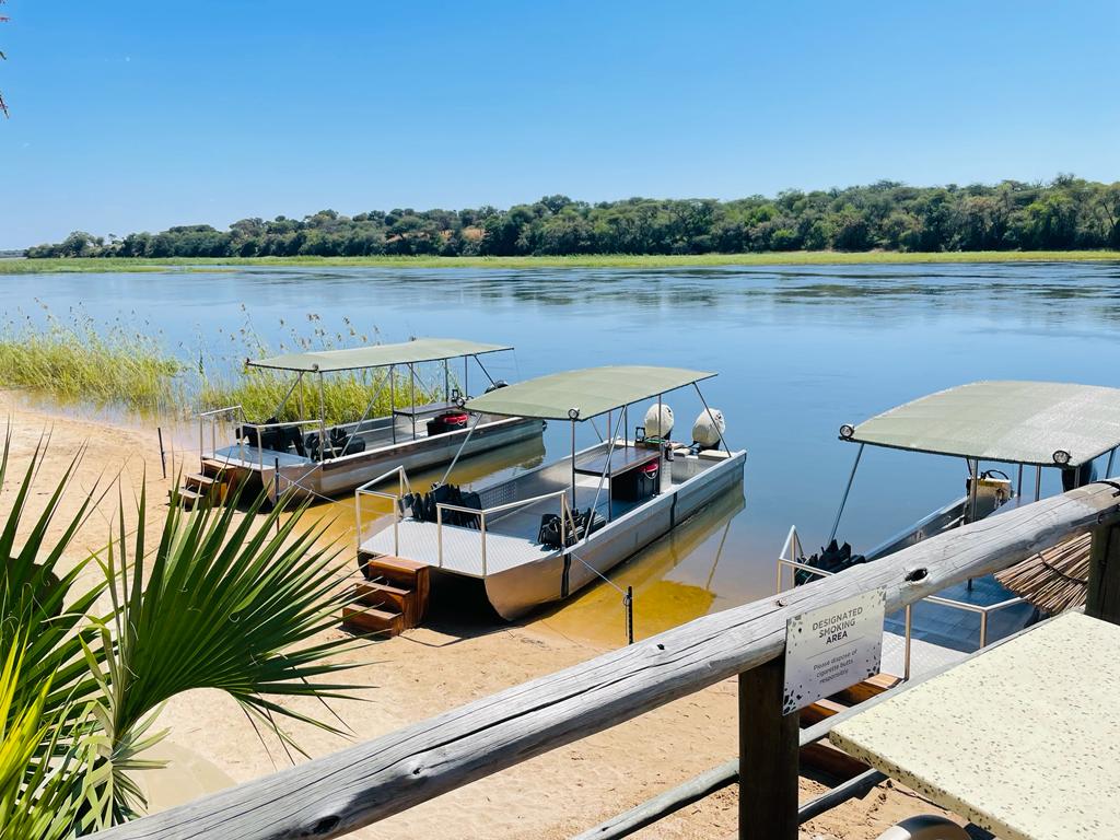
Botswana's Moremi Game Reserve occupies the eastern portion of the delta, protecting a landscape where channels, lagoons, and islands shift with the seasons. Before the river drops into Botswana, it passes over Popa Falls -- a series of rapids visible when water levels are low during the dry season. The falls mark the transition from river to delta, the point where the Okavango begins its slow dissolution into the Kalahari. Upstream, controlled burns in Angola's upper Cuito catchment sometimes clog the waterways with ash and debris, reducing flow before it even reaches the border. The delta's health depends on decisions made a thousand kilometres away, in highlands its wildlife will never see.
From the Air
The Okavango River originates near 12.65S, 16.13E in the Angolan highlands and flows southeast to the Okavango Delta in Botswana (approximately 19.5S, 22.5E). Popa Falls on the Namibia-Botswana border are a visible landmark. The delta's fan shape is unmistakable from altitude. Maun Airport (FBMN) in Botswana serves the delta region. Recommended viewing at 10,000-15,000 feet to appreciate the delta's scale. Dry season (June-August) offers best visibility and shows flood extent contrast.