Olympic Forest Park
The trees in Olympic Forest Park absorb roughly 3,962 metric tons of carbon dioxide every year, the equivalent of removing 777 cars from the road. That single statistic captures the ambition behind this enormous man-made landscape at the northern terminus of Beijing's central axis, the same line that runs south through the Forbidden City and Tiananmen Square. Designed by the American landscape architecture firm Sasaki and implemented by the Tsinghua Landscape Design Institute for the 2008 Summer Olympics, the park does what few Olympic legacies manage: it serves its city more usefully now than it did during the games that created it.
Two Gardens, One Bridge
The park splits into two halves divided by the North Fifth Ring Road. The Southern Garden, oval in shape, centers on Aohai Lake, where small islands connected by bridges create a landscape that feels more like a traditional Chinese garden than a modern urban park. The Northern Garden rises toward Yangshan Mountain, an artificial peak that provides views over the surrounding neighborhoods. An ecological bridge spans the expressway, connecting the two sections and allowing wildlife, water, and pedestrians to cross without encountering traffic. The park's location on the northern end of Beijing's central meridian was deliberate, extending the axis that begins at the Temple of Heaven and runs through the heart of the old imperial city. Within both gardens, large flower fields, artificial wetlands, and sports facilities including the National Tennis Center, football pitches, and hockey fields are interspersed with the walking and jogging paths that draw the park's heaviest daily use.
Water Reclaimed, Energy Generated
Olympic Forest Park runs on reclaimed water. The park decreased Beijing's annual consumption of potable water by 950,000 cubic meters, comparable to 380 Olympic-sized swimming pools, by using treated effluent from the Qinghe Waste Water Treatment Plant for irrigation and to recharge its lakes and wetlands. Solar photovoltaic panels mounted on a trellis structure at the south gate generate 83,000 kilowatt-hours of electricity per year, enough to meet the energy needs of 227 Chinese households while reducing coal consumption by 30 metric tons annually. The decline in coal use yields additional reductions: 8 metric tons less carbon dioxide, 720 kilograms less sulfur dioxide, and 210 kilograms less nitric oxide released into Beijing's already burdened atmosphere each year. These are not dramatic numbers by national standards, but they demonstrate that a park can be more than a consumer of municipal resources.
A Park That Teaches
In 2011, roughly 2,000 elementary school children from schools within two kilometers of the park used it as an outdoor classroom. Surveys of 373 visitors found that 96 percent reported the park had drastically improved their quality of life, citing recreation and exercise opportunities. The park's construction created 1,563 permanent jobs in landscape maintenance, security, and cleaning services. These statistics, collected as part of a formal landscape performance assessment, suggest that the park's value extends well beyond its environmental footprint. It functions as a piece of green infrastructure that serves multiple purposes simultaneously: carbon sequestration, stormwater management, recreation, education, and employment. The jogging path that loops through the Southern Garden is among the most popular running routes in Beijing, and on weekend mornings the park fills with families, cyclists, and fitness groups who use its paths and open spaces as a living gym.
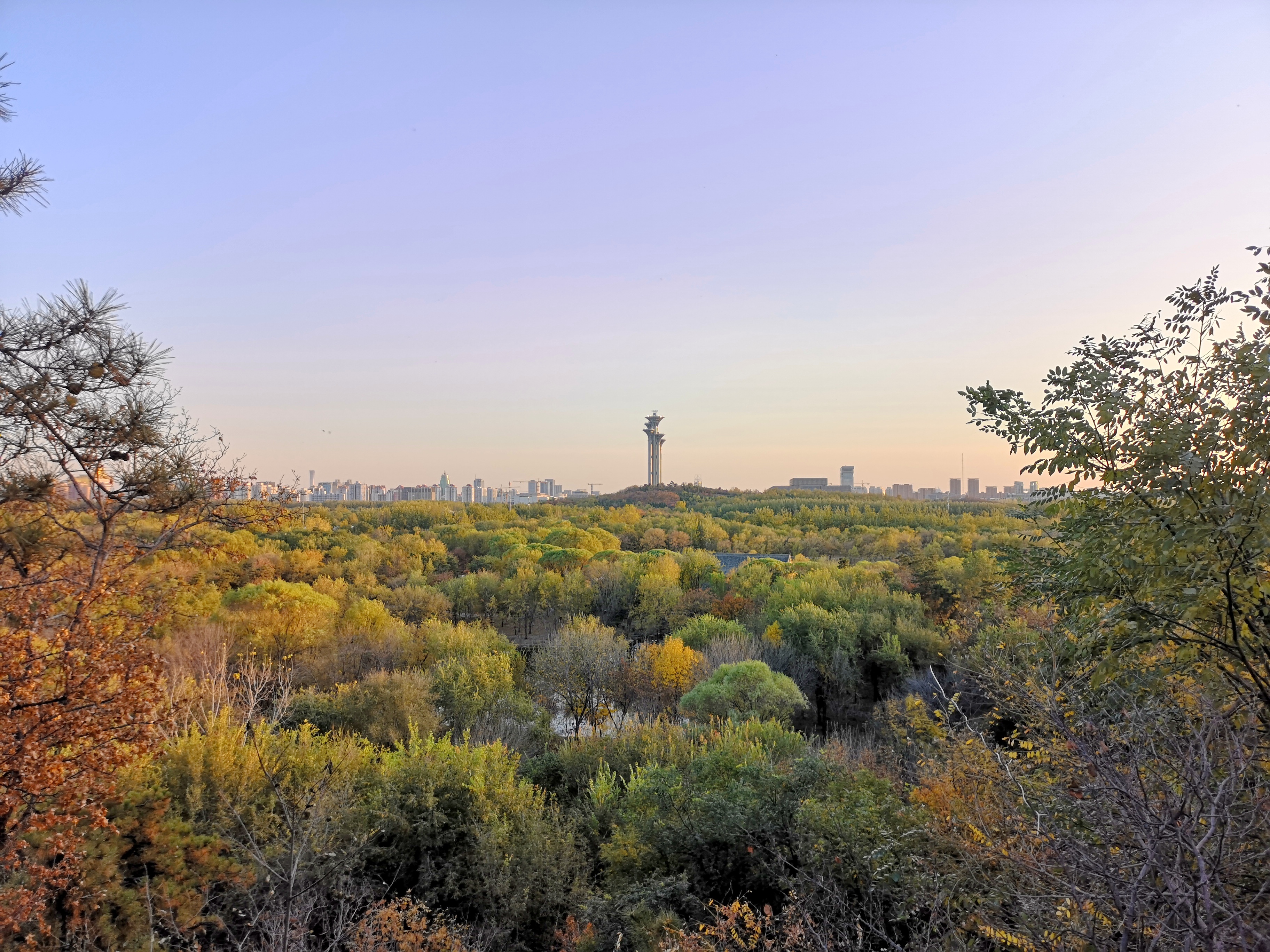
The View from the Axis
From Yangshan Mountain in the Northern Garden, the view south reveals the full extent of Beijing's Olympic legacy: the Bird's Nest Stadium, the Water Cube, and the Olympic Tower line up along the central axis, their forms becoming progressively smaller as the eye follows the line toward the distant haze of the old city center. The park sits at the endpoint of this axis, a green boundary that marks where Beijing's monumental core gives way to the residential neighborhoods of the city's northern expansion. From the air, the park reads as a large, irregularly shaped green patch bisected by the expressway, the ecological bridge visible as a narrow connection between its two halves. The Aohai Lake in the Southern Garden catches the light, and the running paths trace pale lines through the tree canopy. It is one of the few places in northern Beijing where the landscape was designed rather than simply developed, and from altitude, the difference is visible.
From the Air
Located at 40.02°N, 116.39°E, at the northern end of the Olympic Green. The large green space bisected by the Fifth Ring Road is visible from 3,000-6,000 feet. Aohai Lake reflects light in the southern section. Nearest airport: Beijing Capital International (ZBAA), approximately 17 km northeast.