Ometepe
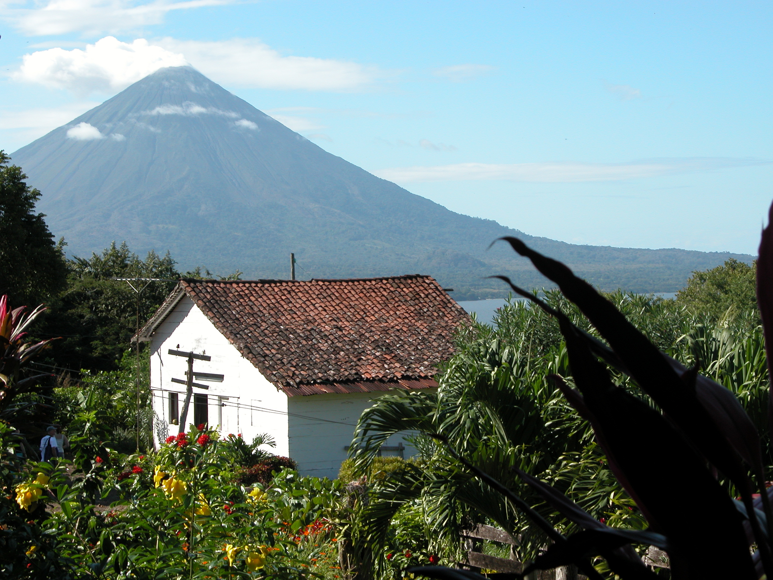
The name gives it away. In Nawat, ome means two and tepetl means mountain, and that is exactly what you see from the air: two volcanic cones joined at the hip by a low, green isthmus, rising from the freshwater expanse of Lake Nicaragua like a figure eight tilted on its side. Ometepe is the largest island in Central America's largest lake, 276 square kilometers of volcanic soil so fertile that farmers have planted it continuously for millennia without fallowing. At 1,610 meters, the summit of Concepcion makes Ometepe the highest lake island in the world. It is a place where geological violence and human persistence have been in conversation for at least 4,000 years.
Fire and Water
Concepcion, the northwestern volcano, is the active one. Its symmetrical cone rises from a 16-kilometer base, and its eruption history reads like a series of warnings: 1880, 1883, 1889, 1902, 1907, 1924, then a long pause before a 6.2-magnitude earthquake in 2005 cracked roads across the island and prompted evacuation advisories. The most recent eruption, in 2010, was violent enough to trigger government evacuation orders from Managua, though most islanders stayed put. Maderas, the southeastern volcano, is a different creature entirely. Dormant or possibly extinct, it rises 1,394 meters and holds a crater lake that a farmer named Casimiro Murillo discovered on April 15, 1930. Its slopes are draped in cloud forest, coffee plantations, and tobacco fields. In 2022, the International Union of Geological Sciences recognized Ometepe as one of 100 geological heritage sites worldwide, citing it as a type example of volcano-tectonic interactions in a sedimentary basin.
Spirals in Stone
The northern slopes of Maderas are covered in petroglyphs — nearly 1,700 panels carved into 1,400 boulders, mapped by the Ometepe Petroglyph Project between 1995 and 1999. The earliest carvings date to around 300 BC, made by speakers of Macro-Chibchan languages who were the island's first known inhabitants. Later, Chorotega and Nicarao peoples added their own work, along with basalt statues that still stand among the undergrowth. Spirals are the dominant motif, appearing in multiple roles: two joined spirals seem to represent the island's twin volcanoes, while single spirals form the heads of anthropomorphic figures. Stylized turtles appear frequently. Some figures show what researchers describe as "bowling ball faces" — round, featureless heads on human bodies. Other carvings include seats or steps cut into boulders, their purpose unexplained. The site N-RIO-19 alone covers 180,000 square meters and contains 92 petroglyphs, over 30 house mounds, and pottery from at least three periods of occupation.
Pirates on the Freshwater Sea
After Spain conquered Central America in the sixteenth century, pirates discovered that the San Juan River connected the Caribbean Sea to Lake Nicaragua. They prowled the lake's waters, and Ometepe's inhabitants paid the price. Pirates kidnapped women, stole livestock and harvests, and built settlements on the island's shores, turning it into a base of operations. The islanders retreated uphill, sheltering on the volcanic slopes above the pirates' reach. The Spanish eventually settled the island by the end of the 1500s, but the experience left its mark on a population that had already weathered centuries of volcanic eruptions. Today, the two main villages — Altagracia on the northeast side and Moyogalpa on the northwest, with its harbor — are the centers of municipal life. Residents celebrate more religious and folk festivals than anywhere else in Nicaragua, traditions kept alive through generations of isolation on the lake.
Howlers, Sharks, and Capuchins
Ometepe's isolation has made it a biological refuge. Large populations of white-faced capuchin monkeys move through the forest canopy, and mantled howler monkeys fill the mornings with their deep, carrying calls. The Ometepe Biological Field School on the Maderas side of the island draws researchers and students studying the island's unique flora and fauna. In the lake itself, bull sharks — once thought to be a distinct freshwater species, the "Nicaragua shark" — navigate between the Caribbean and the lake via the San Juan River. On small islands nearby, spider monkey troops survive entirely because local fishermen stop to feed them on their rounds. The volcanic ash that periodically blankets the island has created soil so rich that plantains, the major crop, grow with minimal effort, supporting an economy built on agriculture, livestock, and a growing tourism industry that drew over 141,000 visitors in 2019.
Two Mountains, One Island
From altitude, the shape is unmistakable: two cones connected by a strip of green just five to ten kilometers wide, the whole thing sitting in a lake that stretches to the horizon. Concepcion's bare, symmetrical peak contrasts with the forested dome of Maderas. The isthmus between them is low enough that in geological terms, it barely exists — a seam between two volcanic lives, one still active, one at rest. Ometepe Airport opened in 2014, though ferry service from the mainland remains the primary way on and off the island. The archaeological record here spans from the Dinarte phase around 2000 BC through the Ometepe period of AD 1350 to 1550, when Nahua-speaking Nicarao migrants arrived. Four thousand years of continuous human habitation on an island built by volcanoes, surrounded by freshwater sharks, and carved with spirals whose meaning no one fully understands.
From the Air
Ometepe sits at 11.498°N, 85.626°W in Lake Nicaragua, in the Rivas Department. From 5,000–10,000 feet AGL, the twin-volcano island is one of the most distinctive landmarks in Central America: two cones joined by a narrow isthmus in the middle of a vast freshwater lake. Concepcion (1,610 m) is the taller, active northwestern volcano; Maderas (1,394 m) is the forested southeastern one. Ometepe La Paloma Airport (MNOP/OMT) is on the island but has limited service. The nearest major airport is Augusto C. Sandino International (MNMG) in Managua, approximately 100 km northwest. Watch for turbulence around the volcanic peaks and reduced visibility in cloud forest conditions on Maderas.