Oodnadatta Track
The fuel price at William Creek is extortionate, and the locals will tell you so with a grin. There are maybe a dozen permanent residents in this outback settlement, one pub, and one airstrip, yet it sits roughly midway along one of Australia's most storied roads. The Oodnadatta Track runs 617 kilometers from Marree to Marla through the arid heart of South Australia, and what it lacks in difficulty it compensates for with layer upon layer of history pressed into the red dirt beneath your wheels.
Three Routes, One Road
The track follows not one historical path but three, stacked atop one another like geological strata. First came the Afghan camel trains that supplied the outback from the 1860s onward, their routes dictated by the location of water. Then the Overland Telegraph Line, completed in 1872, strung its wire across these same desert corridors. Finally, the old Ghan railway was built along much the same course, reaching Oodnadatta in 1891 and eventually extending to Alice Springs in 1929. The railway's name is itself a corruption of "Afghan," honoring the cameleers from what is now Pakistan who kept the inland settlements alive before the trains arrived. Driving the track today, you pass the skeletal remains of all three eras: rusted sidings where the Ghan once stopped, crumbling telegraph repeater stations, and the faint depressions where camel pads wore grooves into the earth.
Marree and the Camel Legacy
The track begins at Marree, an unassuming outback town that was once far more important than it looks. This was the staging post for the Afghan camel trains, the point where goods were loaded onto animals for the long haul into the interior. The cameleers were mostly Pathan tribesmen from British India's North-West Frontier, and their contribution to opening the Australian outback was immense. From Marree the track heads northwest past a series of old Ghan sidings, each marked by little more than a name post and some rubble. The Bubbler and Blanche Cup mound springs appear along this stretch, natural artesian outlets where underground water forces its way to the surface through ancient geological formations. These springs sustained Aboriginal people for thousands of years and later became critical water sources for the telegraph and railway builders.
The Salt Lake at the Edge of the World
From William Creek, a rough 4WD side track leads 80 kilometers to the shore of Lake Eyre, the largest salt lake in Australia. For most of the year it is a vast white emptiness, a below-sea-level basin that stretches to the horizon with nothing growing in its final approaches. The landscape turns dark and lunar as you near the shore, the soil cracking into strange geometric patterns. On the rare occasions when flood waters from Queensland's Channel Country reach this far south, Lake Eyre fills and transforms into an inland sea that attracts pelicans, banded stilts, and other waterbirds in enormous numbers. These filling events happen irregularly, sometimes decades apart, and draw visitors from across the country to witness a desert that has briefly, impossibly, become an ocean.
Oodnadatta and the Angle Pole
The town of Oodnadatta, population roughly 200, serves as the track's emotional center. Its famous Pink Roadhouse is part fuel stop, part museum, part outback institution, plastered with memorabilia from decades of travelers. Beyond town, the Angle Pole Memorial marks the point where the Overland Telegraph Line and the old Ghan railway diverged, the telegraph heading directly north toward Alice Springs while the railway angled northwest. The memorial is a simple thing, a restored telegraph pole standing alone in the desert, but it captures something essential about this landscape: the determination of 19th-century engineers to thread communication lines through terrain that wanted nothing to do with human ambition. From Oodnadatta the track continues northwest to Marla on the Stuart Highway, passing through increasingly stark desert punctuated by the ruins of railway sidings that once served as lifelines.
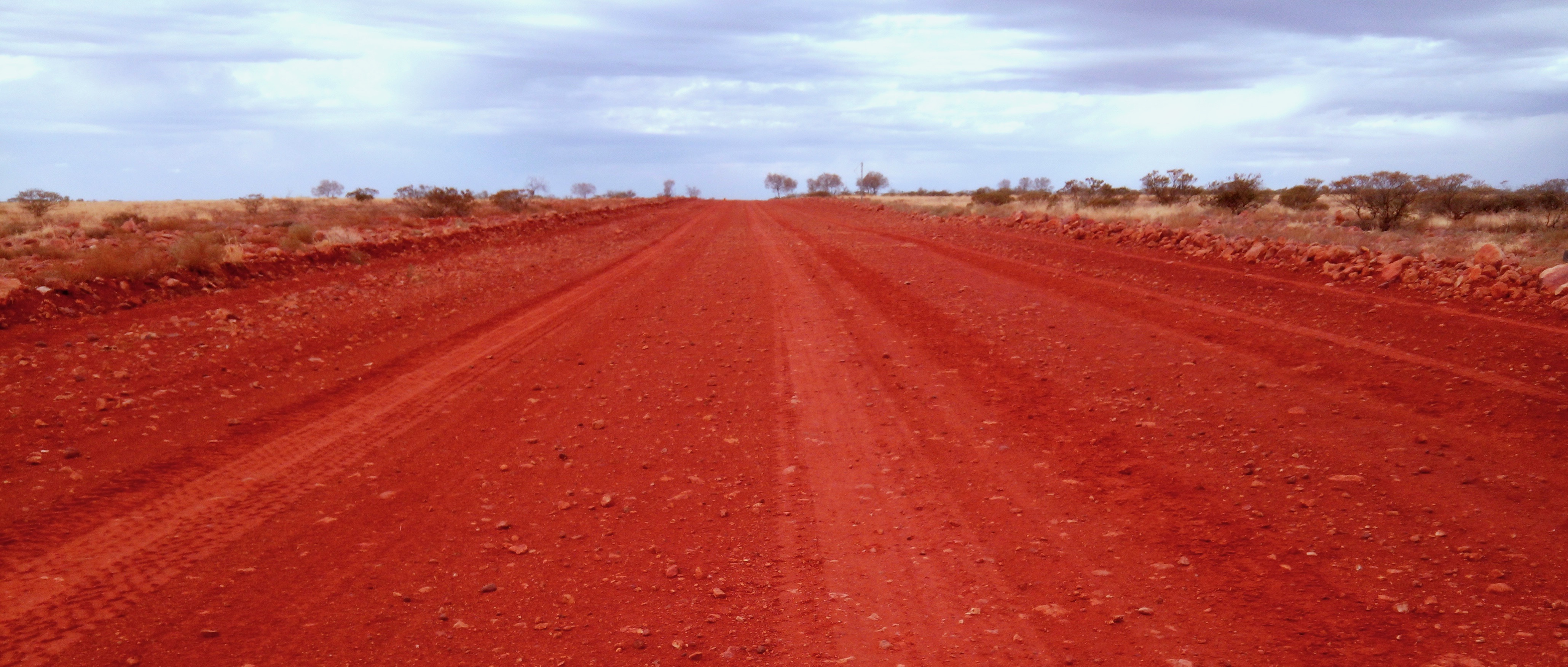
Driving the Dirt
The Oodnadatta Track is classified as one of the easiest outback tracks in Australia, and a conventional vehicle can handle the main route in dry conditions. But "easy" is relative. Fuel stops are roughly 200 kilometers apart. The road is gravel and dirt, corrugated in places, and after rain it can become impassable for days. There is no mobile phone coverage for most of the route. What you carry with you is what you have. Despite these realities, or perhaps because of them, the track draws thousands of travelers each year who want to experience the Australian outback without the extreme commitment required by routes like the Simpson Desert crossing or the Gunbarrel Highway. The reward is a road that tells Australia's inland story more eloquently than any sealed highway could, from the first camel pads to the last railway sleepers rotting quietly into the red earth.
From the Air
Located at 27.30S, 133.62E in central South Australia. The track runs 617 km from Marree (southeast) to Marla (northwest) and is visible from the air as a pale gravel line through red-brown desert. Lake Eyre (Kati Thanda), the enormous salt lake, lies to the east and is unmistakable from altitude. Nearest airports: Coober Pedy Airport (YCBP) to the south, William Creek Airstrip (YWCK) along the track, and Oodnadatta Airstrip (YOOD). Best viewed from 5,000-10,000 ft AGL to trace the track alongside the old Ghan railway and telegraph line remnants.