Opana Radar Site
At 7:02 on the morning of December 7, 1941, two Army privates on a hilltop above Oahu's North Shore watched a massive blip bloom across their radar screen. Privates George Elliot and Joseph Lockard had been operating an SCR-270 mobile radar unit at the Opana Point station, and what they were seeing was unprecedented -- a return signal so large it dwarfed anything in their limited experience. They called it in. The response they received would become one of the most consequential misjudgments in American military history.
The Machine on the Hill
The SCR-270 was America's first long-range search radar, developed at the Signal Corps laboratories at Fort Monmouth, New Jersey, around 1937. By December 1939, the U.S. military had established an Aircraft Warning Service using radar to defend American territory, and six mobile stations were deployed across Oahu. The Opana station sat on a ridge south of Kawela Bay, positioned to scan the ocean approaches to the island's northern coast. The system was still experimental, the operators still learning. The stations were manned only from 4:00 to 7:00 a.m. -- the hours considered most vulnerable to attack. On that December morning, Elliot and Lockard stayed past their scheduled shutdown because Elliot wanted more practice reading the oscilloscope.
Thirty-Four Minutes
The blip they detected at 7:02 a.m. showed a large formation of aircraft approaching from the north, roughly 132 miles out. Lockard, the more experienced of the two, recognized that this was no ordinary signal. They phoned the information center at Fort Shafter, where Lieutenant Kermit Tyler was the only officer on duty. Tyler reasoned that the blip must be a flight of B-17 Flying Fortress bombers expected from the mainland. A friend in the bomber group had told him that whenever a Honolulu radio station played Hawaiian music through the night, it meant a flight was inbound from the mainland, using the signal for navigation. The station had been playing music all night. "Don't worry about it," Tyler told them. Elliot and Lockard continued tracking the formation, watching it close in until the signal was lost in ground clutter at about 7:40 a.m. -- just twenty minutes before the first bombs struck Battleship Row.
Breakfast at Kawailoa
Private McDonald, another operator at the station, had been relieved at about 7:40 a.m. He walked back to camp and woke his tent mate with words that would prove grimly prophetic: "Shim, the Japs are coming." Elliot and Lockard, their tracking now impossible due to the echoes bouncing off Oahu's mountains, headed to the mess hall at Kawailoa for breakfast. They learned about the attack only when they arrived. The two privates rushed back to the Opana station and operated the radar through the remainder of the attack, tracking the Japanese planes as they withdrew northward. The early warning they had provided -- and that had been dismissed -- represented one of the most painful what-ifs of the entire war.
A Landmark Without a Trace
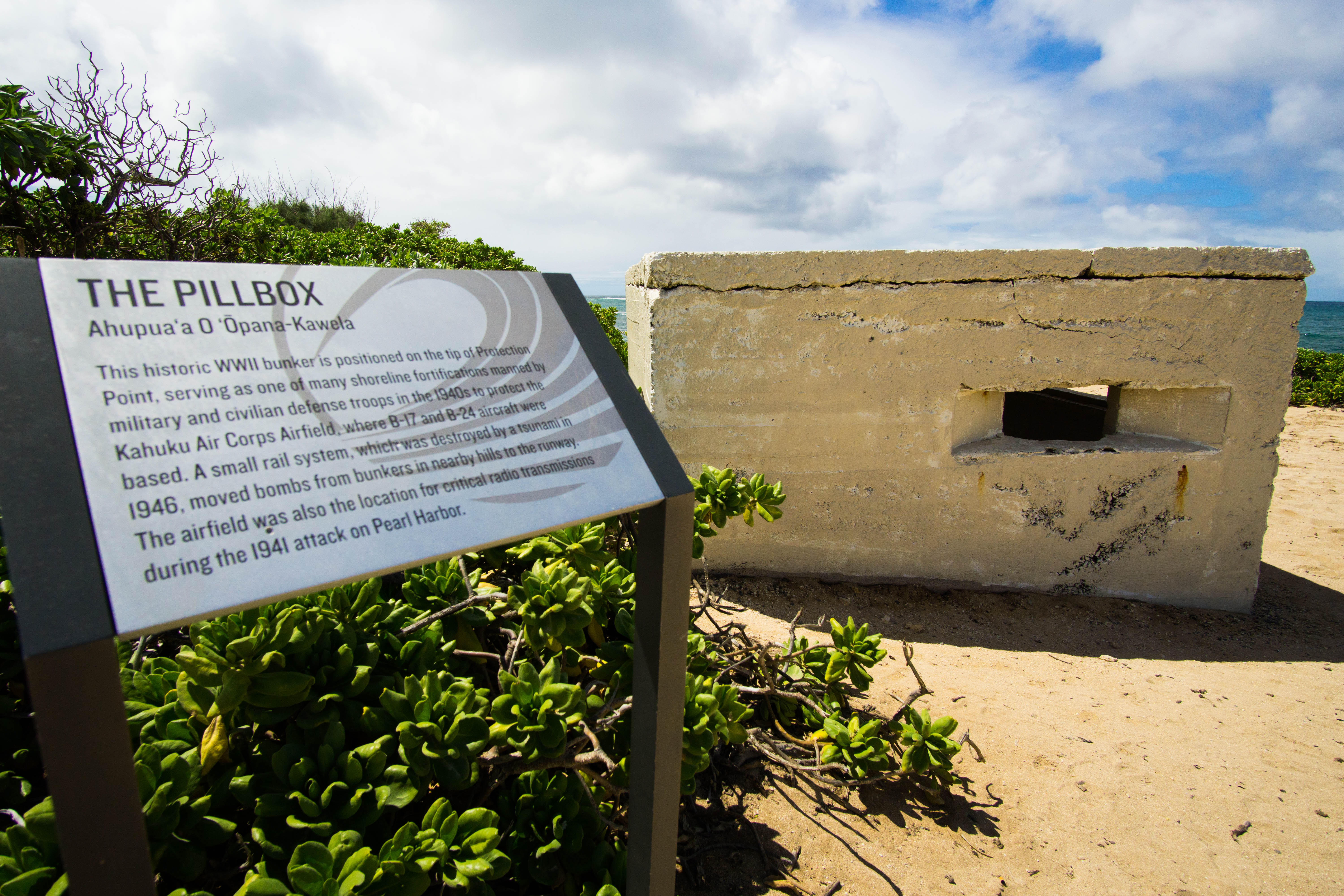
Today, the Opana Radar Site is both a National Historic Landmark and an IEEE Milestone, recognizing the first operational use of radar by the United States in wartime. But visitors expecting to find the radar itself will be disappointed. The SCR-270 was a mobile unit, mounted on trucks, and no physical evidence of the original equipment remains on the hilltop. What does remain is the landscape -- the same ridge overlooking the North Shore where two young soldiers stared at a glowing screen and tried to sound the alarm. A commemorative plaque stands on the grounds of the Turtle Bay Resort at the foot of Opana Hill. The site itself, off Kamehameha Highway just inland from the coast, is not open to the public, leaving the hilltop to hold its silence over the bay where Captain Cook's expedition once anchored and where, on one December morning, the future arrived on a radar screen thirty-four minutes too early for anyone in authority to act.
From the Air
Located at 21.686N, 158.010W on a ridgeline above Oahu's North Shore, south of Kawela Bay and near the Turtle Bay Resort. Best viewed from low altitude approaching from the north or east. The hilltop sits just inland from Kamehameha Highway. Nearest airport: Dillingham Airfield (PHDH), approximately 12 nm west. Honolulu International (PHNL) is roughly 28 nm south-southeast. The adjacent Turtle Bay Resort complex provides a useful visual reference.