Oranje Locks
On 29 April 1870, King William III walked down into a pit dug six metres below sea level, just east of Amsterdam, and set a marble cornerstone into the soaked ground. A gun salute echoed off the temporary timber walls. The national anthem played. The crown prince, government ministers, and a small army of dignitaries then sat down to lunch in a wooden building at the bottom of what was, until very recently, the floor of the IJ. Above their heads, held back by a circle of sheet piles and puddle clay 160 metres across, was the weight of the sea. The lunch went ahead. Two years later, the gates of the Oranjesluizen swung open for the first vessel through.
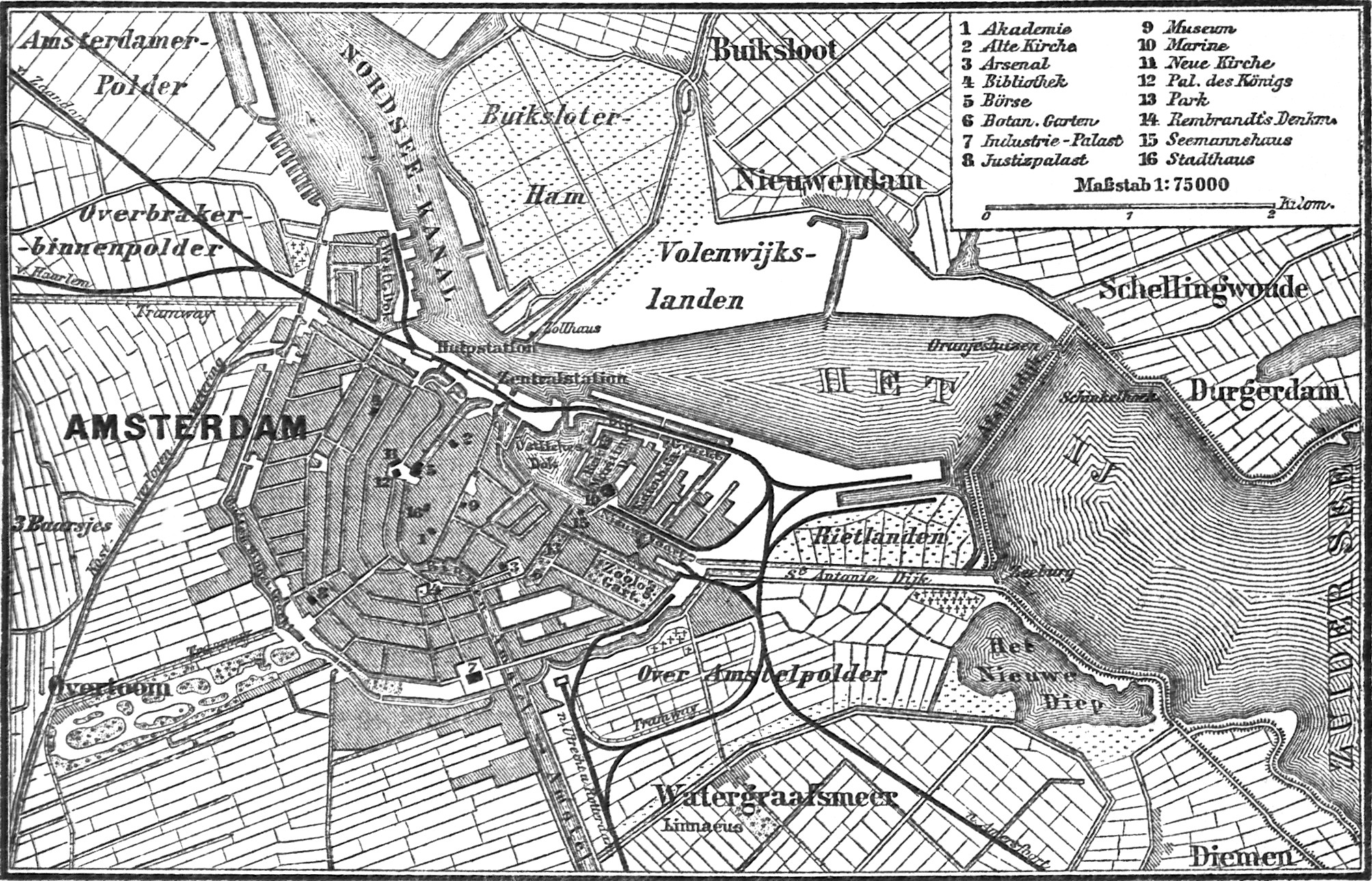
A Harbour That Was Choking
By the early 1800s, Amsterdam's harbour was strangling on its own approach. Sediment kept piling up at the Pampus shallows, and ocean ships sat for tides waiting to drag themselves over the sandbank. First came the Noordhollandsch Kanaal in 1825, a long inland workaround to Den Helder. Then came bigger ships, and that workaround stopped working. Plans bounced around for forty years. Dredge the harbour. Dig a canal through Marken. Build a sea-fort dam across Pampus itself. Each scheme failed against the next one. Finally, in 1862, the Dutch parliament approved the plan that would actually be built: a North Sea Canal cutting west to IJmuiden, and a dam east of Amsterdam to keep the salty Zuiderzee from flooding it. The locks that pierce that dam are the Oranjesluizen.
The Pit of Schellingwoude
Engineers called the construction site the Pit of Schellingwoude, and the name fit. To build locks where there was only open water, the contractors first sank a ring of 1,000 piles in a perfect 80-metre-wide circle, double-walled and packed with clay. A hemp rope wouldn't hold the measurement true; a floating rod drifted; only an iron wire kept under weight finally traced the circle. Inside, they pumped the water out and dug down through mud. In October 1868 a storm overtopped the works and a wall of earth broke loose near the northern sluice. They rebuilt. Over 10,000 bearing piles eventually went into the ground, then 18 million bricks, and the heaviest pair of iron lock gates weighed 72 tonnes each, fitted with air chambers so the water itself would carry their weight.
First Light, First Boat
At six in the morning on 18 March 1872, a small traditional yacht called the Ondine, belonging to a Mr. Coers, became the first vessel ever to lock through. By May that year, 2,792 ships had followed her: barques and brigs, schooners and koffs, paddle steamers and screw steamers, and over two thousand single-masted sailing boats and barges. The numbers climbed. In August, 12,218. In September, 10,811. The locks were officially named Oranjesluizen at the king's cornerstone lunch, and the name stuck even as the IJ was finally sealed off from the Zuiderzee on 4 June 1872, beating a contractual deadline that would have cost the contractors dearly.
A Working Monument
More than a century and a half later, the locks still work. The three original chambers handle recreational boats and small commercial traffic. Beside them, the Prins Willem-Alexander Lock, opened in 1995, is the giant - 200 metres long, 24 metres wide, its 50-tonne sliding gates riding on a 0.1-millimetre cushion of pumped water rather than steel wheels. About 120,000 vessels a year pass through somewhere in the complex. Pedestrians and cyclists cross the dam on top. Two fish ladders let salmon and eels reach the freshwater. Twenty-three small stone houses still stand at Schellingwoude, the original 1872 quarters for the lock master, the engineer, the maintenance man, and the workers, plus the old post and telegraph office from 1909 where skippers once sent word ahead. The locks were even briefly listed as a national monument in 1979, until Rijkswaterstaat - which has to keep them running - quietly got the listing removed five years later.
Holding Back the Sea
The job has not changed. The North Sea Canal needs to stay at half a metre below Amsterdam's ordnance datum, the canonical Dutch zero level. The Oranje Locks let ships pass without letting brackish water through. When the IJsselmeer rises after rain, the locks help drain it. The 1932 Afsluitdijk further north took over the country-scale work of keeping the Zuiderzee out, and there were years afterward when people argued for tearing the Schellingwoude works down. They are still here, partly because the alternative - a pumping station big enough to replace them - never made sense. The cornerstone King William III pressed into the mud is still down there somewhere, holding the country's water in place.
From the Air
Coordinates 52.382 N, 4.961 E. The lock complex sits in the IJ Dijk just east of Amsterdam's city centre, between Schellingwoude in the north and the entrance of the Amsterdam–Rhine Canal in the south. From the air the long thin barrier across the IJ is the clearest landmark, with the Prins Willem-Alexander Lock visible as the largest chamber. Best viewed at 2,000 to 4,000 ft AGL in clear conditions. Closest airport: Amsterdam Schiphol (EHAM), about 18 km southwest. Lelystad (EHLE) lies 35 km to the east across the IJmeer. Class C airspace over Amsterdam; check NOTAMs for the Schiphol arrival corridors.