Orinoco Basin
Somewhere near the crest of Cerro Carlos Delgado Chalbaud, at just over 1,047 meters above sea level, a trickle of water begins a journey that will not end for 2,140 kilometers. By the time it reaches the Atlantic, that trickle has become the Orinoco, a river carrying approximately 35,000 cubic meters of water per second into the sea. The basin it drains covers nearly a million square kilometers across Venezuela and Colombia, making it the third largest in South America. But the Orinoco punches far above its weight: its discharge ranks third globally, behind only the Amazon and the Congo, yet its basin is a fraction of either. No other river on Earth moves this much water relative to the land it drains.
Where Continents Collide in Miniature
The Orinoco basin reads like a compressed geology textbook. To the south lies the Guiana Shield, a block of Precambrian rock among the oldest exposed surfaces on Earth. To the north and west, the Venezuelan Coastal Range and the Cordillera de Merida rise from tectonic forces that have been reshaping the landscape since the Cretaceous. Between these ancient anchors stretch the Llanos, vast alluvial plains built from sediments washed down over millions of years. The basin synthesizes what few other regions manage to contain: ancient massifs, recently raised ridges, and tectonic depressions all converging around a single drainage system. Only North America, with its combination of the Canadian Shield, Rockies, and Great Plains, offers a comparable geological cross-section in the Western Hemisphere.
A River That Draws Its Own Map
The Orinoco describes a great arc from its source in the Sierra Parima to its mouth, its basin fanning outward like an opening hand. Two-thirds of that basin lies in Venezuelan territory; the remaining third spills into Colombia's eastern Llanos and the slopes of the Eastern Cordillera. The river itself serves as one of the most remarkable natural boundaries on the continent, dividing the Guiana Highlands on its right bank from the Llanos on its left. This is no accident of politics. The river's nearly flat gradient has spent millions of years building a sedimentary plain from mountain runoff, and the result is a self-drawn border between two fundamentally different landscapes: ancient crystalline rock to the south, young alluvial soil to the north and west.
Tributaries of Consequence
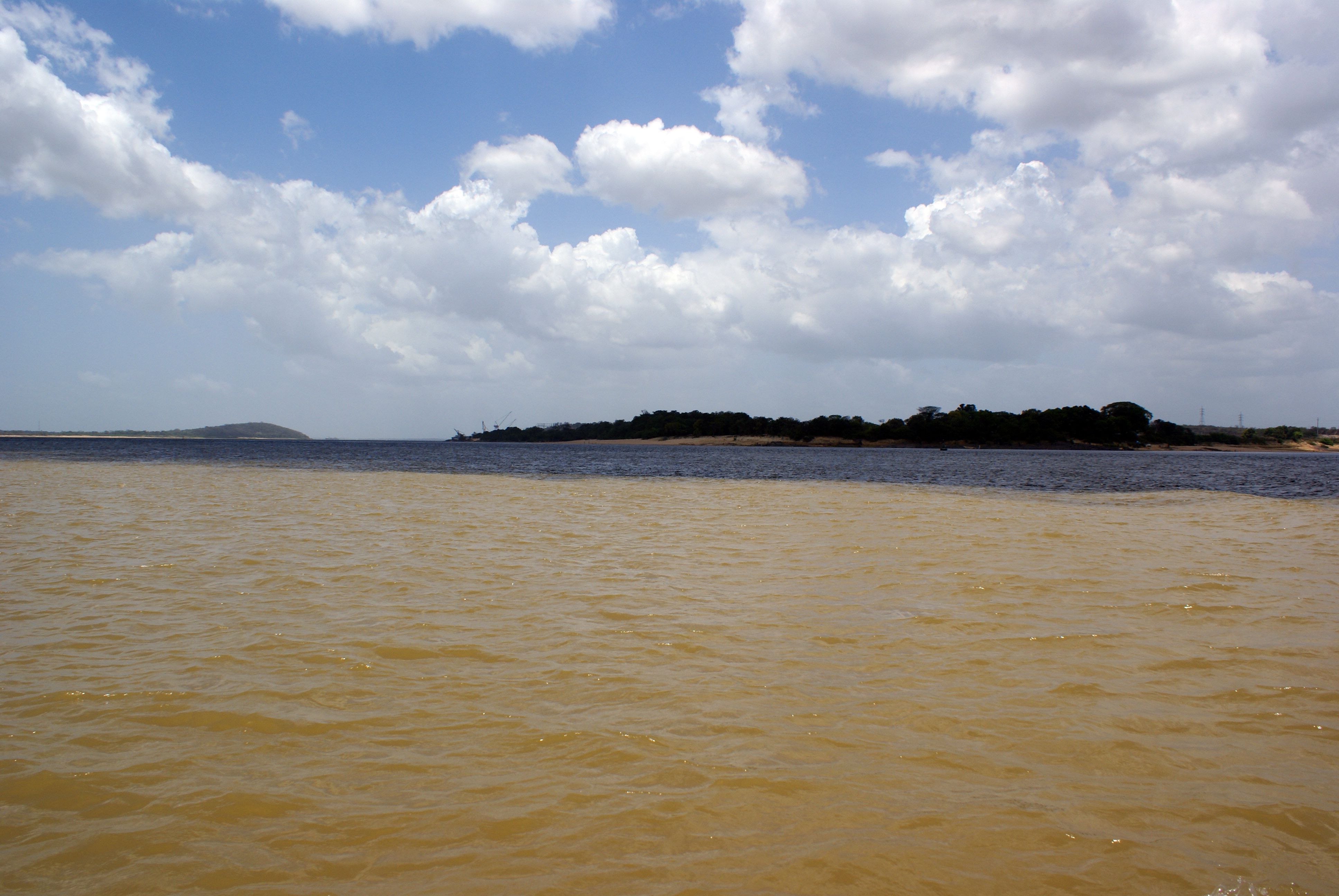
The Orinoco's tributaries are rivers of stature in their own right. The Guaviare, at roughly 1,550 kilometers, is actually longer than the Orinoco at their point of confluence. The Caroni, dammed at Necuima Canyon behind a wall over 200 meters high, creates Lake Guri, a reservoir spanning more than 4,000 square kilometers that powers one of the most productive hydroelectric stations in the world, surpassed in output only by Itaipu on the Brazil-Paraguay border. From the left bank, rivers flowing off the Llanos tend to be navigable and sluggish. From the right, Guiana's rivers arrive fast and broken by rapids, useless for navigation but ideal for generating power. Scattered throughout are rocky islands, sedimentary sandbars, abandoned meanders, and horseshoe lakes shaped by a restless hydrology that never stops rearranging itself.
Seasons of Flood and Fire
Climate across the basin is isothermal, as befits the tropics, with the average temperature varying barely three degrees Celsius between the warmest and coolest months. But rainfall tells a more dramatic story. In Venezuelan Guayana, annual precipitation reaches 4,000 millimeters or more across wide areas, feeding the thundering right-bank tributaries. Over the Llanos, that figure drops to 1,500 to 2,000 millimeters, concentrated in a wet season that transforms the plains into a shallow inland sea. When the rains retreat, the Llanos dry to cracked earth and tinder-dry savanna, punctuated by gallery forests clinging to riverbanks. This annual oscillation between flood and drought defines everything that lives here, from capybara herds to the cattle ranches that have worked these plains for centuries.
The Basin from Above
From altitude, the Orinoco basin reveals its logic. The dark green mass of Guiana's forests crowds the southern horizon, while the Llanos spread northward in a patchwork of brown and green that shifts with the seasons. The river's arc is visible as a pale, winding thread bordered by vegetation denser than the surrounding savanna. During the wet season, the Llanos become a mirror, reflecting clouds across thousands of square kilometers of standing water. The Orinoco Delta fans into the Atlantic as a maze of channels and mangrove, a fitting end for a river that has been collecting the waters of two nations and three geological eras. Alexander von Humboldt explored this basin in 1800 and confirmed the Casiquiare canal, that improbable natural channel connecting the Orinoco to the Amazon drainage, a hydrological anomaly that cartographers had doubted for decades.
From the Air
Centered near 6.19°N, 67.45°W. The basin sprawls across much of eastern Venezuela and into Colombia, best appreciated from above 25,000 feet where the arc of the river and the contrast between the green Guiana Highlands (south) and the flat Llanos (north) become clear. Nearest major airports include SVMI (Maiquetia/Caracas), SVPR (Ciudad Guayana), and SVCB (Ciudad Bolivar). The Orinoco Delta is visible to the east at the Atlantic coast.