Orissa Famine of 1866
The monsoon of 1865 stopped early. Across the Odisha deltas, rice paddies that should have been drowning in water cracked and hardened under a pitiless sky. The winter rice crop - the only crop most of the region's people depended on - withered before it could be harvested. By early 1866, famine had taken hold of a region so isolated from the rest of British India that no road or navigable waterway connected it to sources of grain. Over the next year, at least one million people died in Odisha alone - roughly a third of the population. The famine spread across 180,000 square miles of India's east coast, from Madras northward, affecting a population of 47.5 million. But its devastation was concentrated in this single, neglected province, where the absence of infrastructure turned drought into catastrophe.
A Province Cut Off
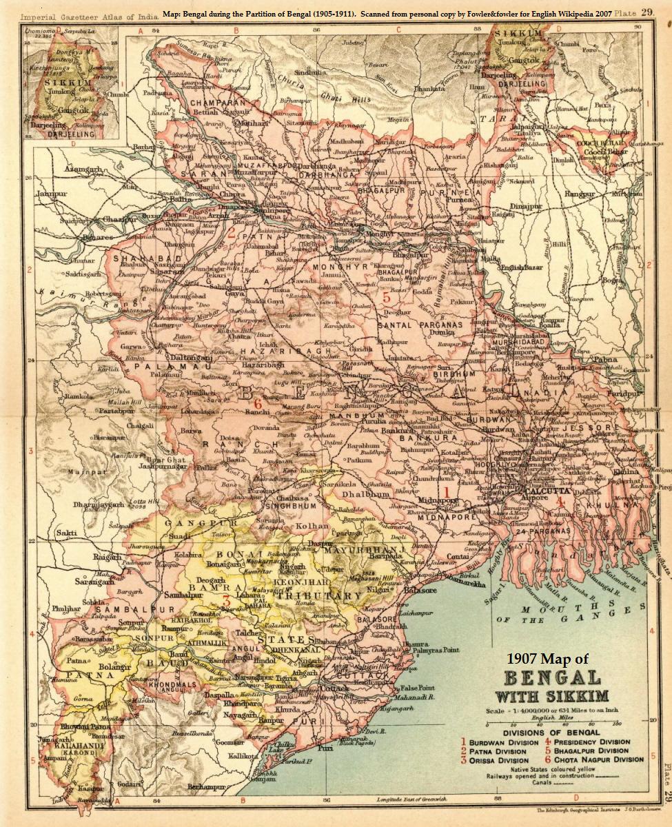
Odisha in 1866 was, by colonial standards, barely governed. The province had no railways, no canals connecting it to Bengal's granaries, and roads that dissolved into mud during the monsoon. When the 1865 rains failed, local officials initially underestimated the crisis. The Bengal Board of Revenue relied on fictitious price lists that understated the severity of shortages. By the time the scale of the disaster became clear, moving grain into the affected areas was nearly impossible. The previous year's bumper rice crop had been largely exported, draining local reserves that might otherwise have sustained the population through a bad season. It was a pattern that would repeat itself across British India for decades: colonial extraction emptying the granaries, colonial infrastructure connecting ports to London rather than villages to each other, and colonial administrators discovering too late that they had no way to reach the people who were dying.
The Weight of Numbers
One million dead is a number large enough to lose its meaning, so consider what it looked like on the ground. Entire villages emptied. Families sold their children for handfuls of rice. Roads became corridors of skeletal figures walking toward towns where they had heard food might exist, only to find the same starvation they had fled. The famine struck hardest among agricultural laborers and low-caste communities who had no reserves and no access to credit. Women and children died in disproportionate numbers. In the local calendar, 1866 was the Na-Anka year - the ninth year of the Odia chronological cycle - and "Na-Anka Durbhiksha," the Famine of the Ninth, became seared into Odia collective memory as a synonym for absolute suffering. These were real people with families and futures, reduced to statistics in a colonial ledger.
Rice for the Empire
What transformed the Orissa famine from a natural disaster into a political crisis was a single, devastating fact: while a million people starved, India exported more than 200 million pounds of rice to Great Britain. The grain did not stay in India because the colonial economy was designed to extract, not to sustain. Exports continued because the market demanded them and because no mechanism existed to redirect commercial shipments toward famine relief. For educated Indians watching from Calcutta and Bombay, this was not an accident of geography or weather. It was a system functioning as designed. Dadabhai Naoroji, the Parsi intellectual who would later become the first Indian elected to the British Parliament, used the Orissa famine as central evidence for his Drain Theory - the argument that British rule was systematically enriching itself by, as he put it, "sucking the lifeblood out of India." The famine became a turning point in Indian political consciousness, one of the earliest moments when colonial rule was questioned not for its methods but for its fundamental morality.
Canals and Codes
The aftermath of the Orissa famine produced reforms born of embarrassment rather than compassion, but reforms nonetheless. A famine commission investigated the disaster and identified the absence of transportation infrastructure as a primary cause. In response, the British Raj built the Orissa Coast Canal, a 124-kilometer segment of the East Coast Canal stretching from Charbatia to Rasulpur at the Bengal border. Construction began in 1880 and the canal opened fully for traffic in 1888 - more than two decades after the famine had ended. The colonial government also began developing Indian Famine Codes, systematic protocols designed to trigger relief efforts at the first sign of monsoon failure. These codes saw their first success in the Bihar famine of 1873-74, where Sir Richard Temple's relief measures prevented significant mortality. The infrastructure came too late for the million who died, but it established a principle that would be tested repeatedly: that famine was not merely an act of God, but a failure of governance.
Memory in the Delta
Today, the Odisha Coast Canal still carries water through the flat, green delta where the famine struck. The landscape has changed - roads and railways now connect what was once an isolated backwater to the rest of India. Bhubaneswar, the state capital, is a growing city of over a million people. From the air, the Odisha coast looks prosperous: rice paddies stretching to the horizon, the Mahanadi River braiding through its delta, fishing boats dotting the Bay of Bengal. But the memory of Na-Anka persists in Odia literature, folk songs, and family histories. The famine remains a foundational event in Odia identity - a reminder that this fertile, well-watered land once failed its people not because nature was cruel, but because the systems meant to govern them valued commerce over survival. The rice still grows here, thick and green when the monsoons come. The difference is that now it stays.
From the Air
Centered at 20.40°N, 84.40°E in the Odisha river deltas of eastern India. Biju Patnaik International Airport (VEBS) in Bhubaneswar is the nearest major airport, approximately 50 km northeast. From altitude, the flat coastal plain is dominated by the Mahanadi River delta and extensive rice paddies. The Odisha Coast Canal, built after the famine, is visible as a linear water feature running north-south through the delta. The Bay of Bengal coastline lies to the east. Weather is tropical monsoon; October through February offers the clearest visibility. During monsoon season (June-September), expect heavy cloud cover and reduced visibility.